

Open this route in the app to prepare your next outing.
Length9699m
Min / max altitude1300m / 2734m
Duration6 hours 42 minutes
Main facingNE
Route typeReturn the same way
Snowboarding possible
Source
Details
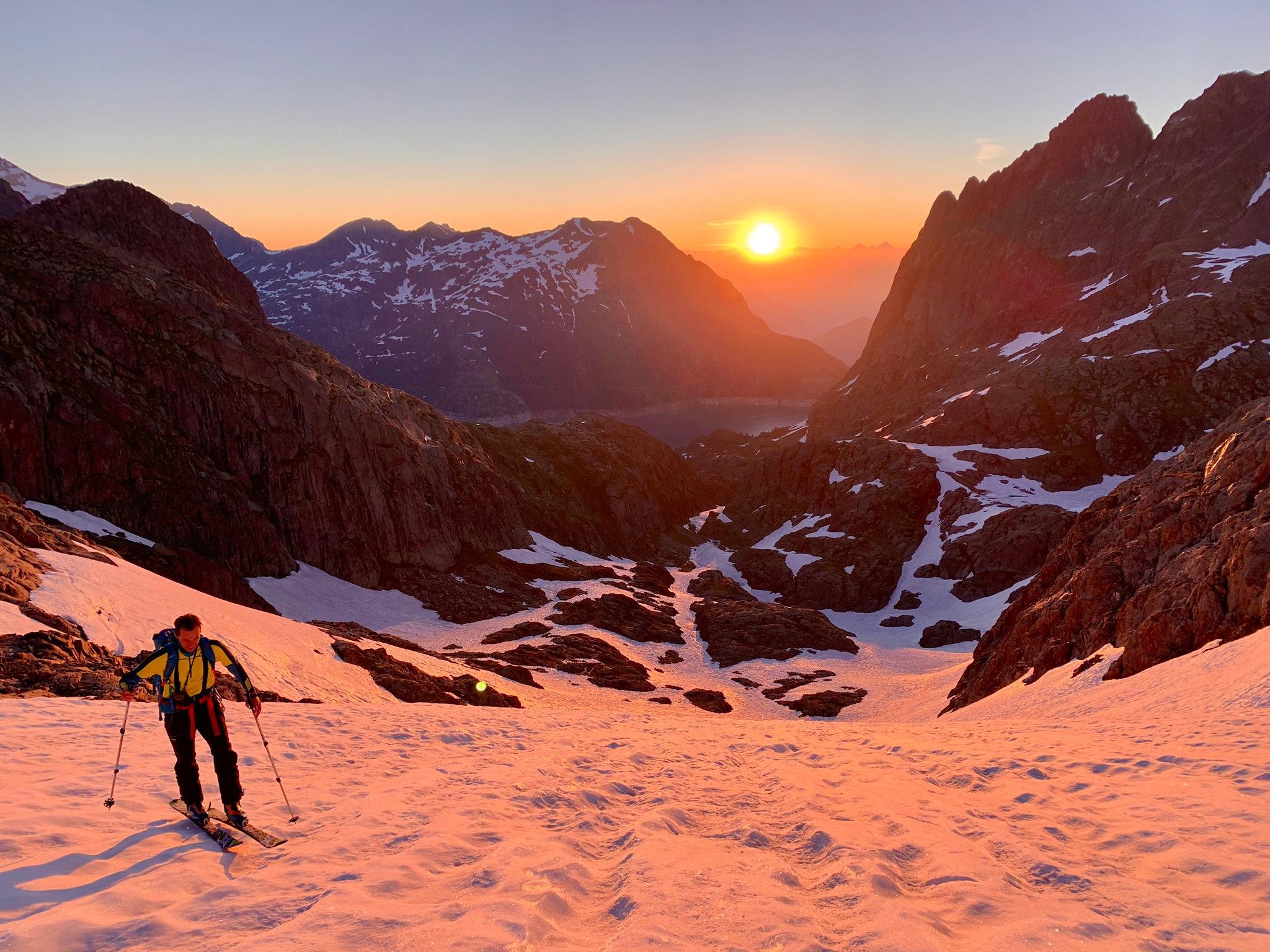
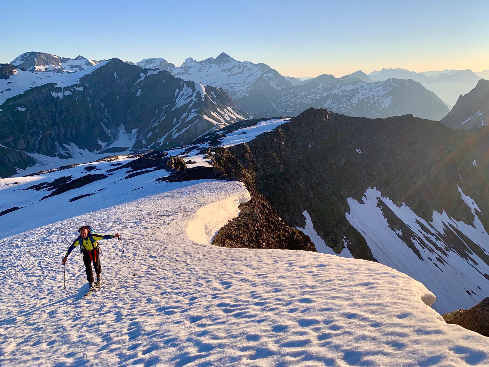
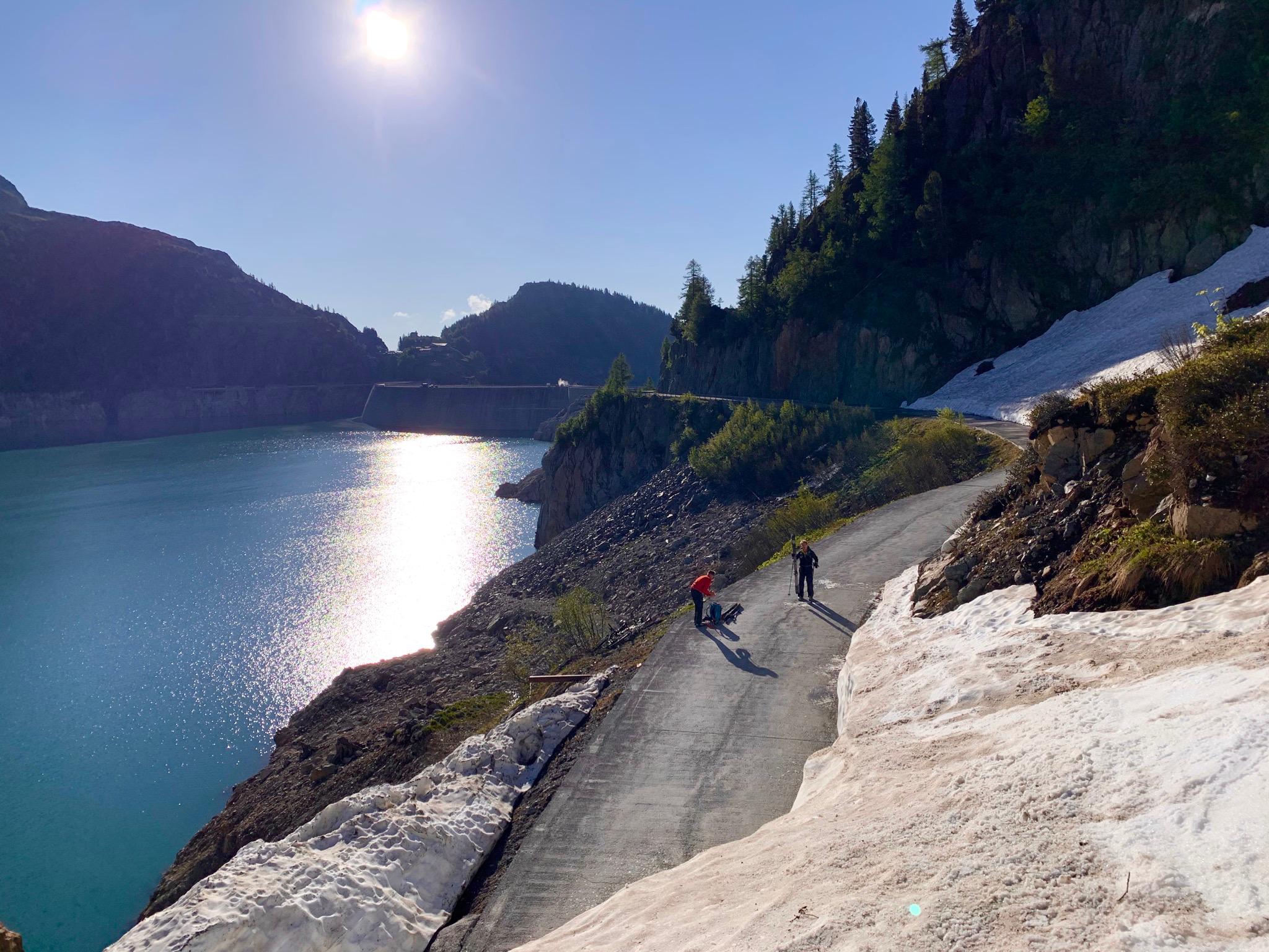
Route From the parking at the Col de la Geulaz (1900m) at the top of the Emosson dam road, descend on foot and cross the dam (road) to the start of the path up the Veudale valley. Follow this, SW, continuing up where it narrows after which you can choose to go left or preferably right if there is an avalanche risk. Near the col de la Terrasse, go S towards the obvious pylon which is next to the summit of the Point de la Terrasse. Descent By the same route.

The text and images in this page are available
under a Creative Commons CC-by-sa licence.

Download the Whympr App to view this route in 3D.
- Route search (100 000)
- Community returns
- Weather forecast
- Avalanche bulletin
- Race book
- Creation of tracks
- Topographic map (including IGN)