

Open this route in the app to prepare your next outing.


Details
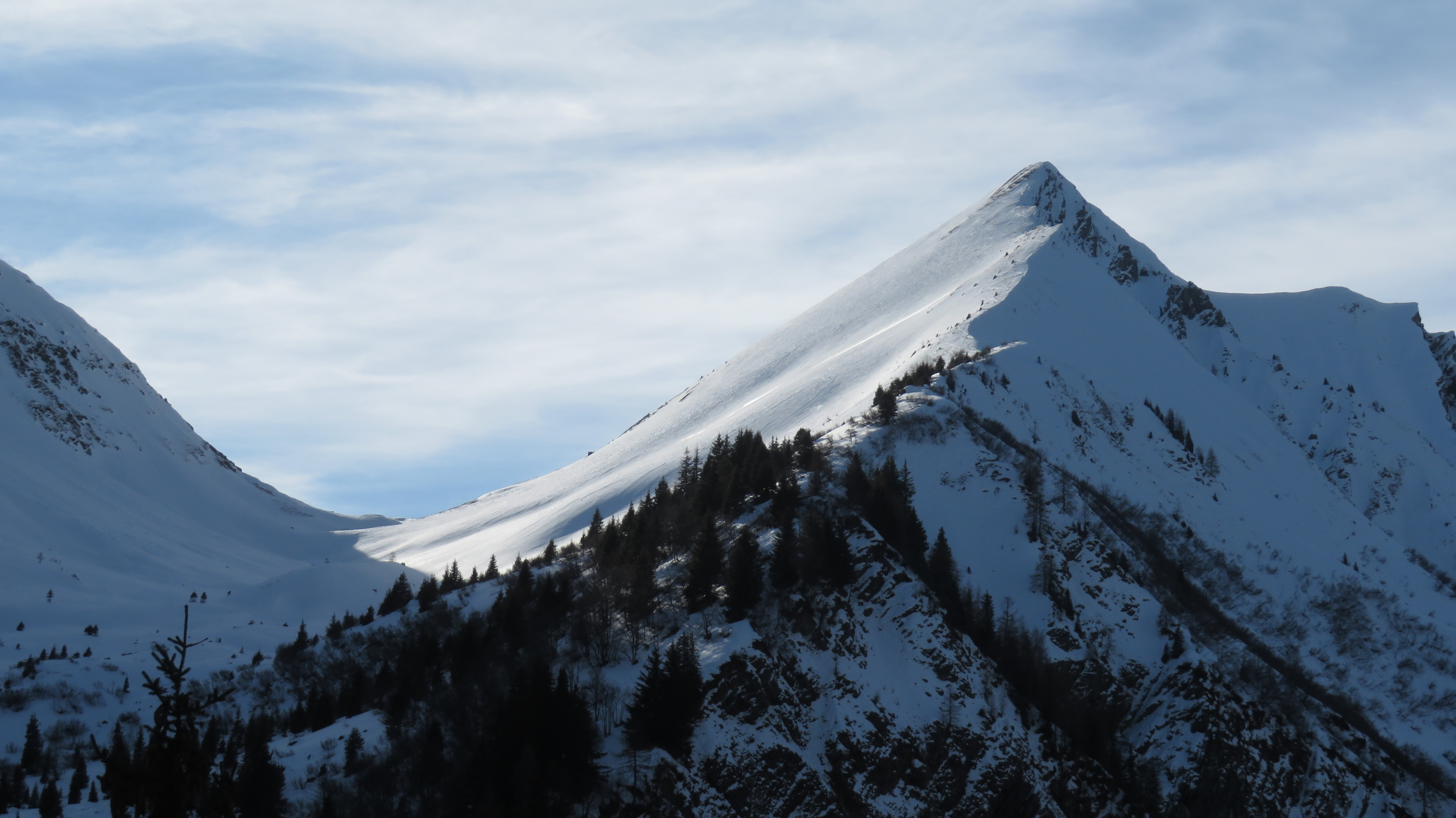
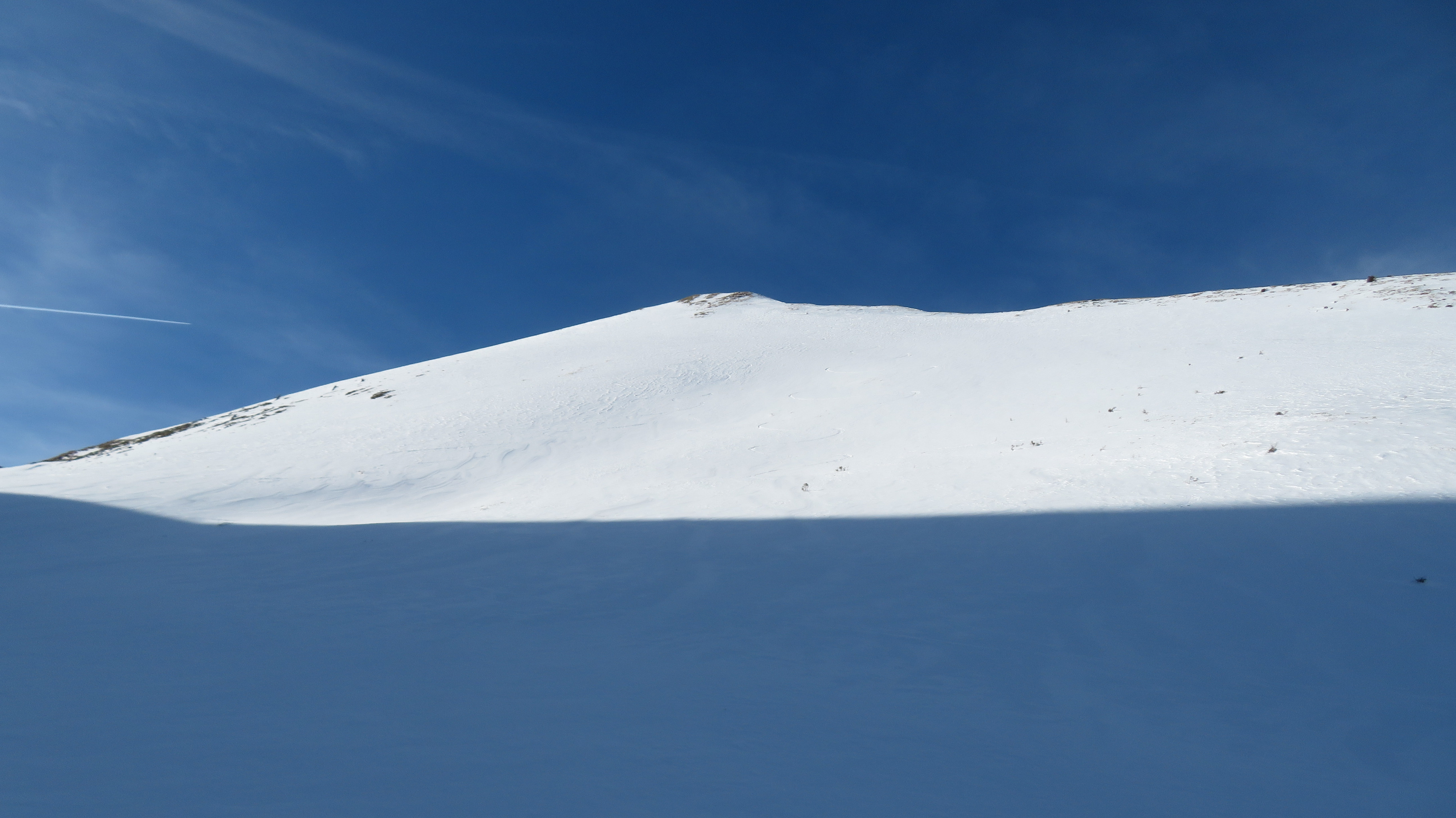
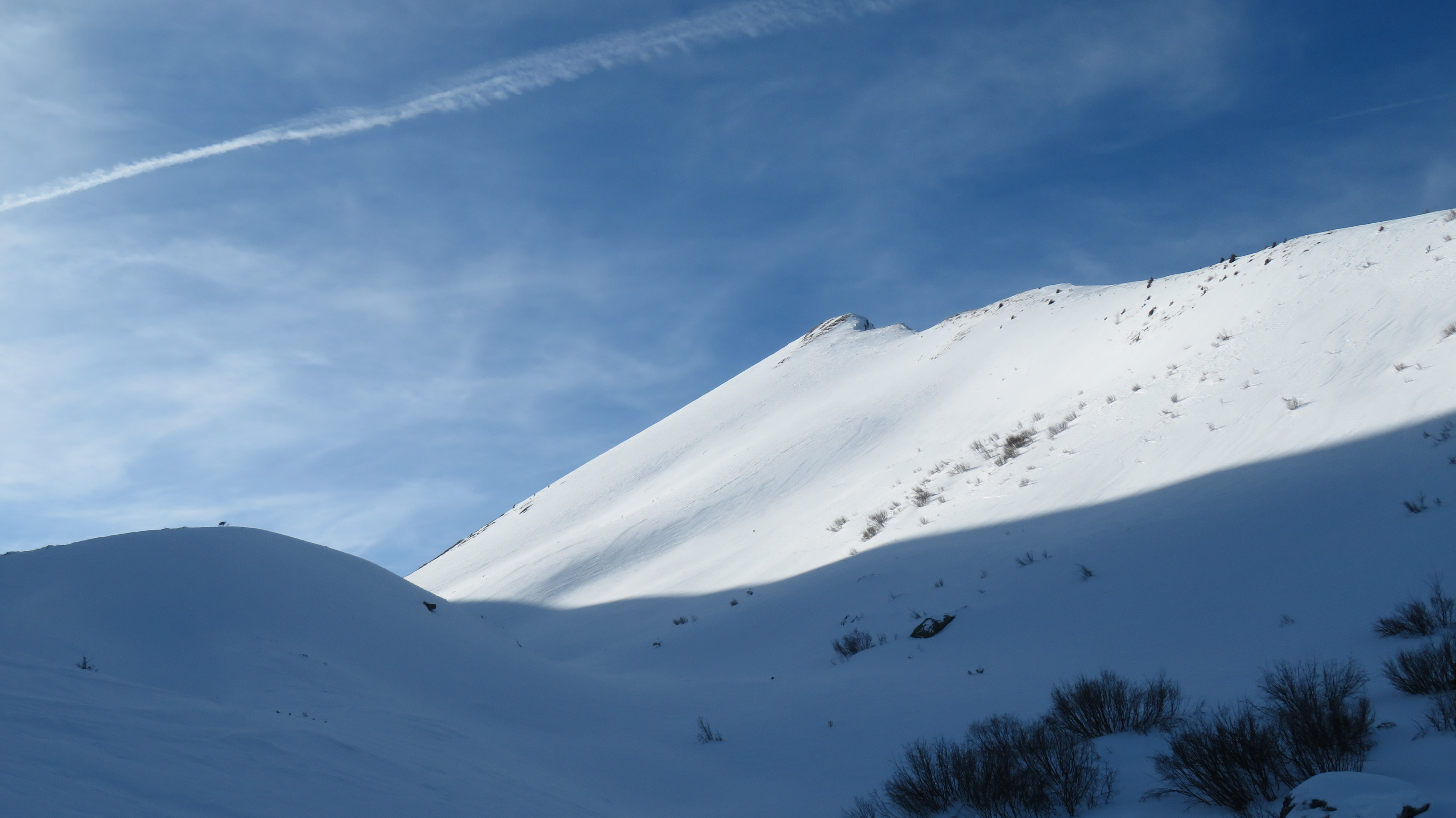
From the parking lot, start towards the east and traverse the Bettières and Chapiot chalets, following the electric line. At Planet leave the electric line and continue 500 m towards the east until the steeper slope which makes it possible to reach Are Chalet to the SE, then the scoop to the south of this chalet. Go up it 300 meters and cross the moraine on the right bank of the Bionnassay glacier via gaps in the forest. Take foot on the glacier (around 1850 m) and traverse it towards the west. Go up the left bank moraine and descend on Combe des Juments (near the ruins of the Tricot chalets, generally invisible under the snow). Climb 1200 meters (towards the southwest) up the gentle slope of Combe de Tricot, until Col de Tricot. Descent: By the same route. Total time span: 5 to 6 hours
Variants: -Climb via Le Champel: Parking lot before the village. Traverse the village and go towards the east, for 3 km on the road which crosses Ormoy, La Pierre and Chalet du Chalère. At 1450 m head SE in the forest for 600 m up to approximately 1650 m, to the foot of an ice fall. Skirt the wall towards the east then to go up it (taking off your skis) to the south by sidestepping (crampons useful). After some zigzags, the path traverses the slope towards the SW until the ruins of the Tricot chalets where you meet the normal route. - Take the Houches ski lifts: from the summit of the Bellevue tram (1801 m) it is possible to reach Planet via the southern slopes. -Climb to Mont Vorassay: in good snow conditions it is possible to climb Mont Vorassay (2299 m) to the northwest of the pass and descend its eastern face. -Traverse: By taking a shuttle in the morning, it is possible to descend via the southwest corridor of the pass. 500 m in S3 to reach Miage chalets (risks of sluffs coming from the lower point of Tricot). Then take the road which goes up slightly then descends to the Gruvaz parking lot, via Maison Neuve and Le Chosal.

The text and images in this page are available
under a Creative Commons CC-by-sa licence.

Download the Whympr App to view this route in 3D.
- Route search (100 000)
- Community returns
- Weather forecast
- Avalanche bulletin
- Race book
- Creation of tracks
- Topographic map (including IGN)