

Open this route in the app to prepare your next outing.

Details
Access
Take the road from Col de Forclaz towards Martigny and turn off on the left towards Ravoire. Take a left turn at a signpost for Chez les Pillet. Continue up this road until just after a hairpin at a large boulder turn left again for “Chez Pillet”. (You are following the Route d’Arpille, but ignore a very acute turn off lower down on the left, signposted for walkers but restricted access for cars.) A last turn off to the left leads in a short distance to a parking (1340m) at the bifurcation in the road. The “Buvette du Grizzli” is here, (a very small tea shack.)
Ascent
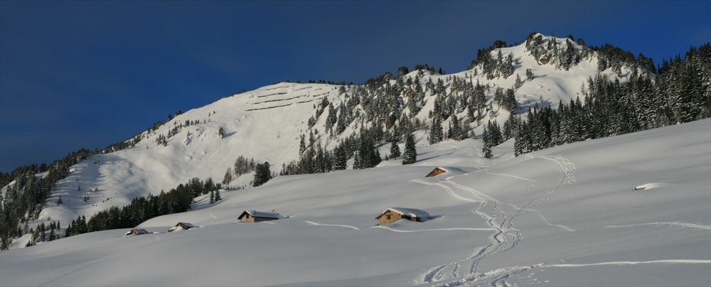
Follow a path which leaves uphill of the right hand road just after the parking, signposted for walkers/snowshoers, going SW to the plateau de l’Arpille (1816m) passing the chalets de la Clairière La Barme (1380m). From the plateau, go up to a little col to the S of Pointe 1855m. Pass to the N of a buttress from Point 2051m to reach the Mont de l’Arpille summit (2085m). It is also possible to go up directly between Points 2051m and 2085m.
Descent
By the same route or go about 100m towards the Col de Forclaz and descend the E face via the Point 1961 to reach the chalets de l’Arpille. From there regain la Clairière La Barme by the forest track, and then the road back to the parking, (depending on snow cover.)

The text and images in this page are available
under a Creative Commons CC-by-sa licence.

Download the Whympr App to view this route in 3D.
- Route search (100 000)
- Community returns
- Weather forecast
- Avalanche bulletin
- Race book
- Creation of tracks
- Topographic map (including IGN)