

Open this route in the app to prepare your next outing.
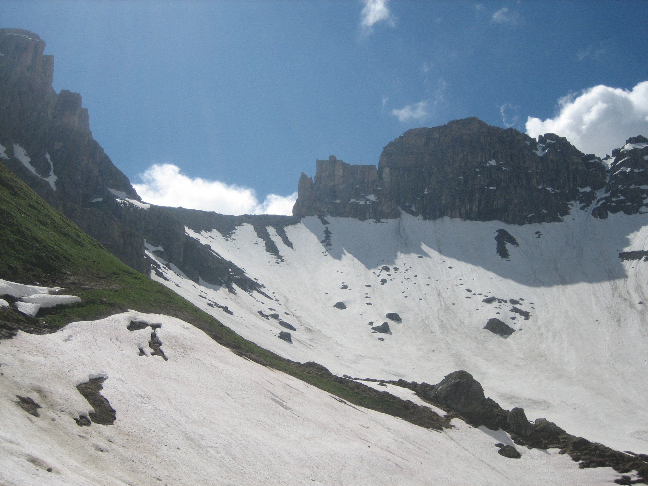
Loop of Aiguille du Grand Fond via Brèche de Parozan and Col d'Arpire

Details
From Pont des Sauces (alt. 1593m), follow the road until Plan de la Lai refuge (1818m). It is possible to cut across the main bend by climbing just after the water fall located after the third bridge (1645m). Continue by following the road (one can cut across after the bridge 1867m). At Cormet de Roselend, head south on the road that leads to Combe de la Neuve, then towards the east. At the end of this track, traverse the stream or remain on the left bank depending on the conditions.
Go up the dale as best you can being careful of the streams which can form snow bridges or be difficult to cross depending on the time of year. If you can, it is convenient to follow the summer trail. Around the altitude of 2450m, go diagonally towards notch of Parozan (2663m). The end slope may have heated, be careful of the bottom plates (faces completely east). Go back down the western slope via an unrelenting slope over 300m (S3/S4). Pass the spur from the Aiguille du Grand Fond around 2300m. Go up the NE facing slope, then E until Col d’Arpire (2600m, crampons or harscheisen may be useful). Descend this scoop passing underneath enormous avalanche cones. You reach spot elevation 2105m, then descend the dale of the Arpire stream until the CAF refuge where you meet the ascent route. It takes 6 to 7h. For the descent follow the Arpire scoop going diagonally towards the Cormets chalets (2027m) to reach Cormet de Roselend, then Chapieux.
Ascent variant: This route can also be done starting from Chapieux (Tarentaise side): climb in the direction of the Cormet de Roselend to reach Combe de la Neuve.

The text and images in this page are available
under a Creative Commons CC-by-sa licence.

Download the Whympr App to view this route in 3D.
- Route search (100 000)
- Community returns
- Weather forecast
- Avalanche bulletin
- Race book
- Creation of tracks
- Topographic map (including IGN)