

Open this route in the app to prepare your next outing.

Details
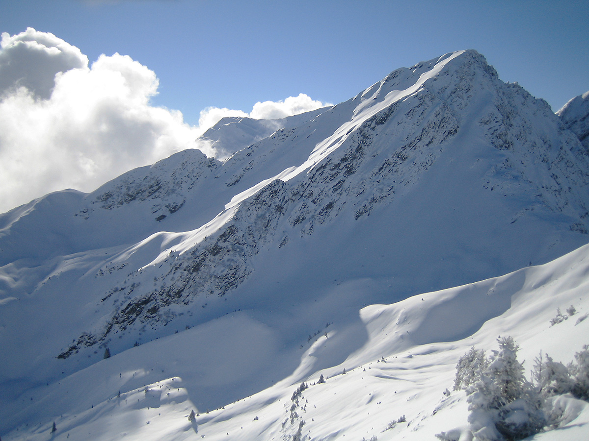
Climb: From the station parking lot, follow the road until Ladray. Go up the slope above the hamlet passing by Les Granges (1350m) then by Les Chenalettes (1500m) to emerge at Plan Villard, slightly to the west of spot elevation 1546m. Then follow the route of the summer trail which goes completely west up the slope above Plan Villard. After two bends, traverse a forest road to the altitude of 1600m. Continue ascending northwest in the forest clearing to emerge at the altitude of 1700m at the foot of an east facing scoop that you ascend to point 1918m. Continue the ridge to spot elevation 1996m (called “elevation 2000”). Go up the slope which dominates it, then traverse a scoop towards the right (careful of the plates), then pass a shoulder which makes it possible to return (20m of HD) to the foot of the eastern face. Climb to the northwest to approach the eastern ridge, which gives relative protection, then climb on skis or crampons depending on the snow conditions. This slope ascends 400 m and the last 150 meters are roughly 35 to 40° (S3). It takes 2h30 to 3h.
Return by the same route, it takes 1 h.
Descent variant: from the traverse above elevation 2000, descend the northeast scoop until the lake at point 1797m, then go up by following the route of the summer trail to point 1918m where you find the ascent route

The text and images in this page are available
under a Creative Commons CC-by-sa licence.

Download the Whympr App to view this route in 3D.
- Route search (100 000)
- Community returns
- Weather forecast
- Avalanche bulletin
- Race book
- Creation of tracks
- Topographic map (including IGN)