

Open this route in the app to prepare your next outing.

Details
Climb: At the winter parking lot-end of the road (alt. 1880), after the hamlet of the Châtelard, follow the snow covered road towards the south (cross-country skiing loop). One and a half kilometres further on, at the level of the riding school, take the packed trail which goes up to the right. After passing a water inlet situated below, under Roche des Fours, the route gradually enters into gorges. Continue the climb, still on the left bank, above the torrent of Charvet. The next part is relatively threatened by avalanches until the plateau to the west of Rocher du Mont Roup. At spot elevation 2120, the valley separates into two separate branches. The right branch is preferable (west, Montagne du Charvet, wilderness skiing area of Val d’Isère) for a more regular climb. The Vallon du Pisset (on the left) proposes a steep climb (40°, S3) for 150 meters. This course is preferable for the descent. Continue going up the gorges, which become broader. Pass the northern cape of the Rocher du Mont Roup, towards the Charvet chalet (alt. (2,380m). Go up the SW facing dale while following the bed of the torrent. It takes 2h.
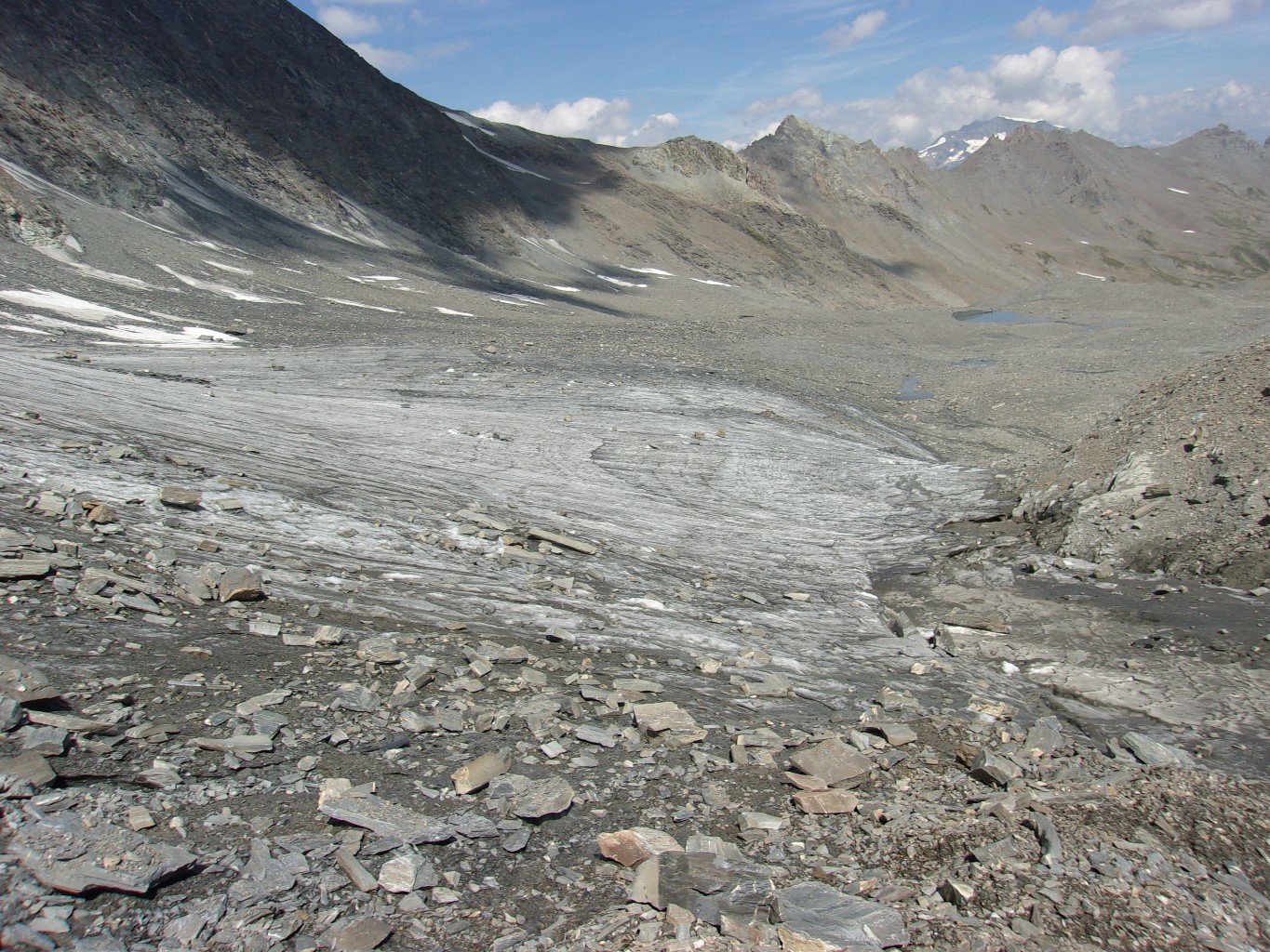
At spot elevation 2562, continue to the SW to reach the northern arm of the Barmes de l’Ours glaciers, located at the foot of the NE face of the Pointe de la Sana. At the altitude of 2850 meters, the trail turns to the south and via easy slopes, traverse the glacier to reach Col des Barmes de l’Ours (alt. 3077). It takes 1h30. Descend the southern side of the pass for a few meters, go back up the Sana glacier (to the west) until a small pass on the SW ridge of Sana (alt.3340m). Follow the skiable ridge (or slightly below) which leads to the summit. It takes 1h15.
Descent: By the same route until Col des Barmes de l’Ours. On the Barmes of the Bear glaciers, either follow the ascent route (Vallon du Charvet) or the variant via Saut du Pisset. When you reach the gorges of Charvet, be careful of the sluffs on the southern slope. It takes 2h30.
Variant of Pisset: Steeper and snow covered for a longer period of time, this beautiful variant should only be undertaken with stable snowpack conditions, nor too late in the course of the day: The avalanches coming from the western slope of Pointe des Lorès can be frightening. On the Barmes de l’Ours glaciers, around an altitude of 3000 meters, head NE and descend (S3) until the large plateau at elevation 2643. Then cross this plateau via eastern slopes (S3), to join the base of Vallon du Pisset that you follow until it ends (spot elevation 2120). Then follow the ascent route.

The text and images in this page are available
under a Creative Commons CC-by-sa licence.

Download the Whympr App to view this route in 3D.
- Route search (100 000)
- Community returns
- Weather forecast
- Avalanche bulletin
- Race book
- Creation of tracks
- Topographic map (including IGN)