

Open this route in the app to prepare your next outing.

Details
Approach # To the Monte Rosa Hut
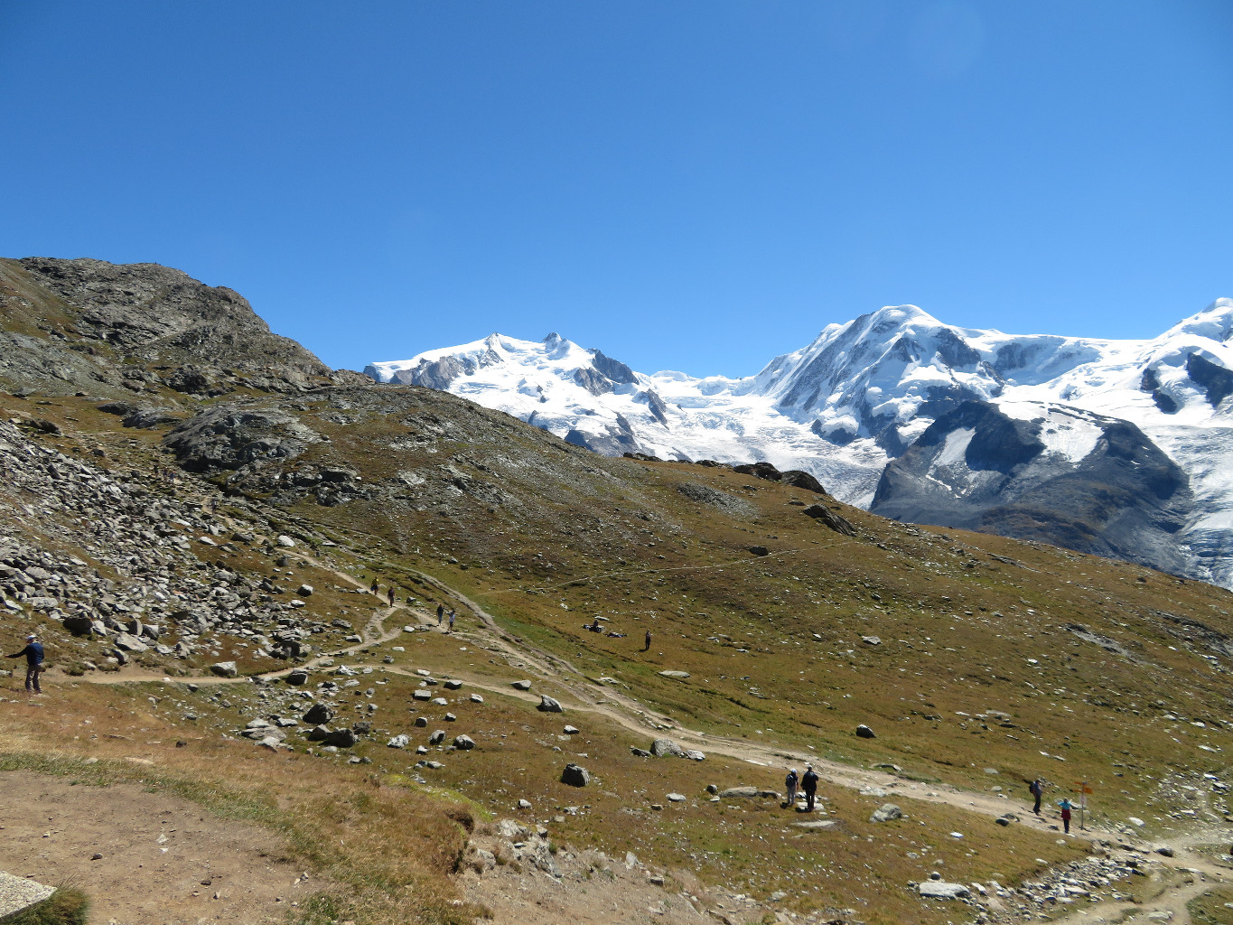
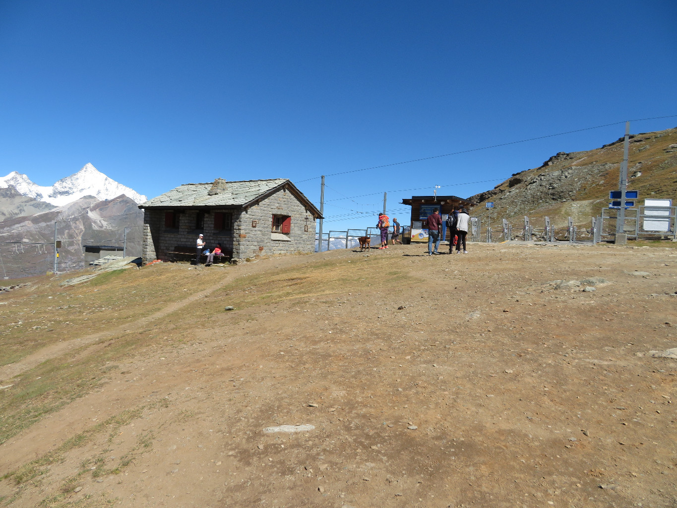
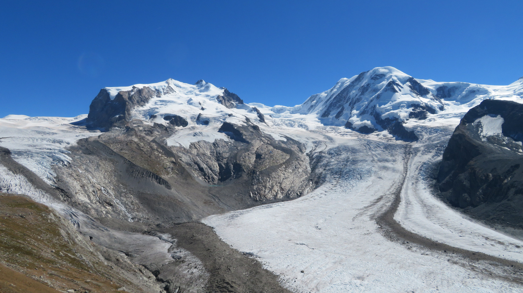
a) train Zermatt - Rotenboden. Follow the broad summer track either to its end, or descend directly onto the Gornergletscher, (blue paint marks) and traverse the glacier towards the hut, (waymarked with flags). b) train Zermatt - Gornergrat - Stockhorn c) On foot from Zermatt via Rotenboden. From Zermatt follow the road then the footpath, (signposted Gornergrat) passing by Riffelalp and Ridfelberg until Rotenboden, then follow a). d) From Zermatt by the Gornergletscher
Route
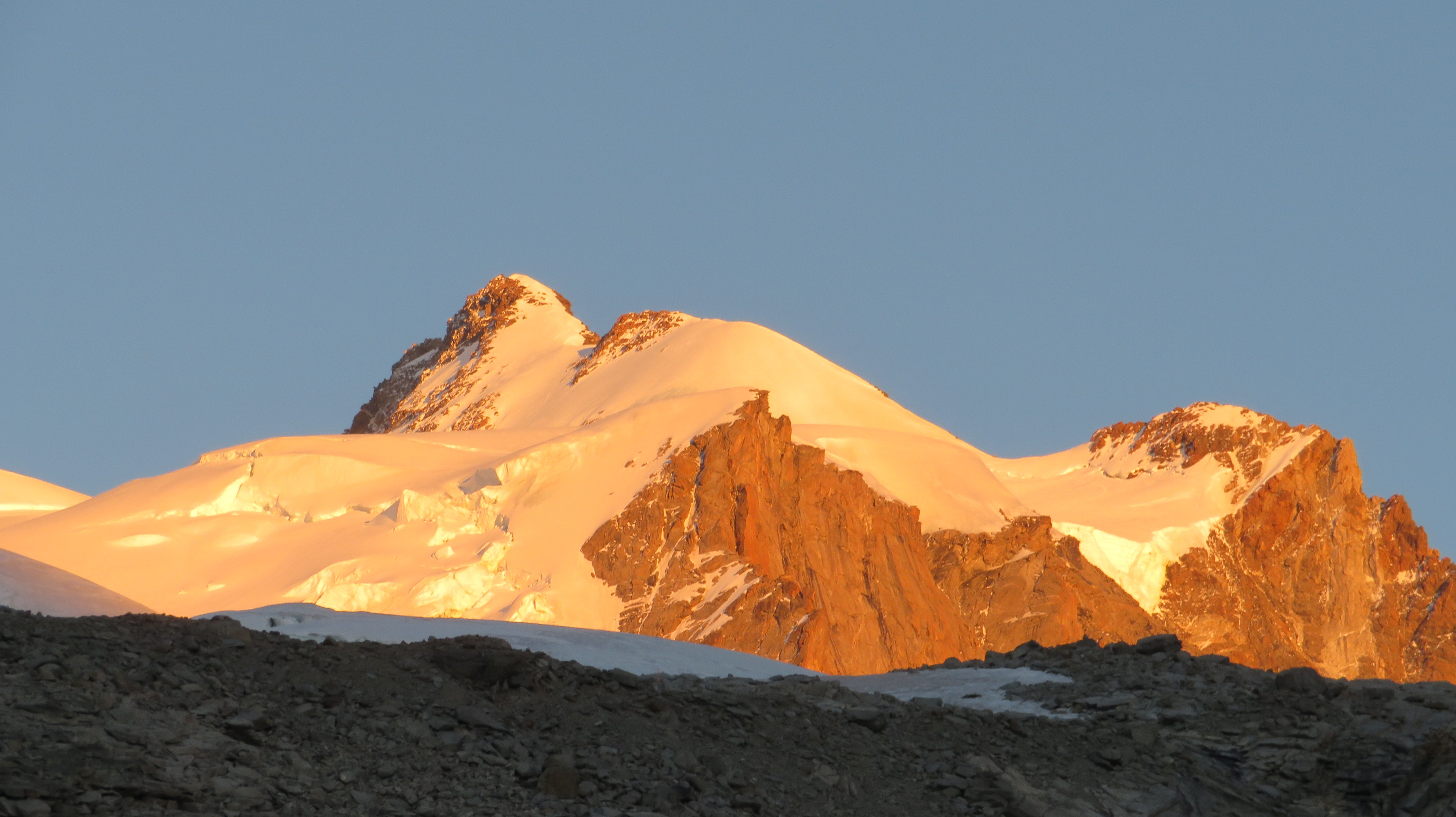
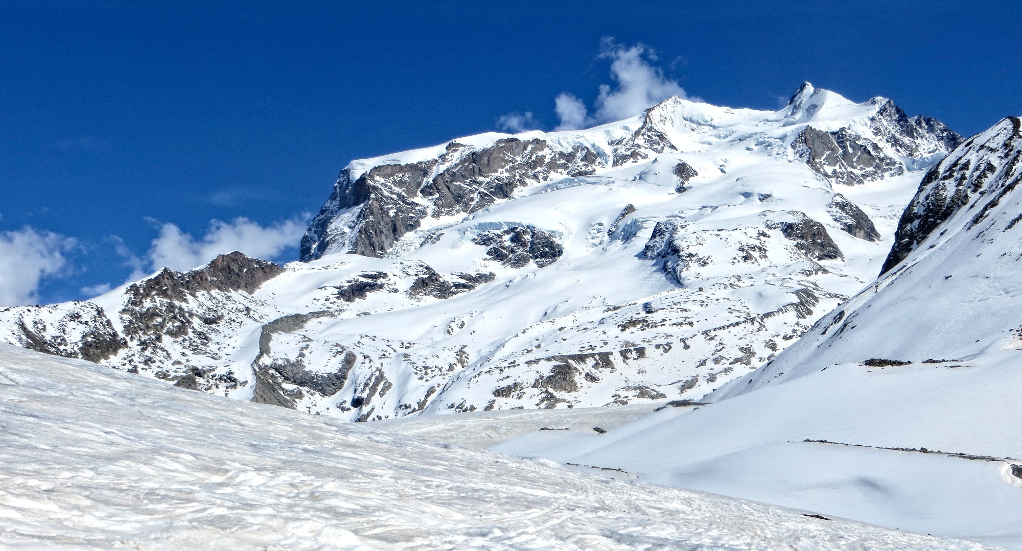
Go up the moraine and follow a cwm, then a snow bulge to the Obere Plattje (3109m), Go up a 100m slope at 35/40° trending left near the top. Go up easier angled slopes keeping to the right of the seracs, often badly crevassed, best to be roped up. Go up the snow bowls to reach a flat section at 4100m. (Until this point the route is the same as for the Nordend). Go up S to the col, 4360m (ski depot). Follow the mixed ridge to the summit (4634m), (a passage of 3b with a fixed rope.)
Descent
As for the ascent, but without passing by the hut, then by the Gornergletscher and Furi (until the start of May, later in the season it is better to return via Rotenboden, 250m of ascent.)

The text and images in this page are available
under a Creative Commons CC-by-sa licence.

Download the Whympr App to view this route in 3D.
- Route search (100 000)
- Community returns
- Weather forecast
- Avalanche bulletin
- Race book
- Creation of tracks
- Topographic map (including IGN)