

Open this route in the app to prepare your next outing.






Details
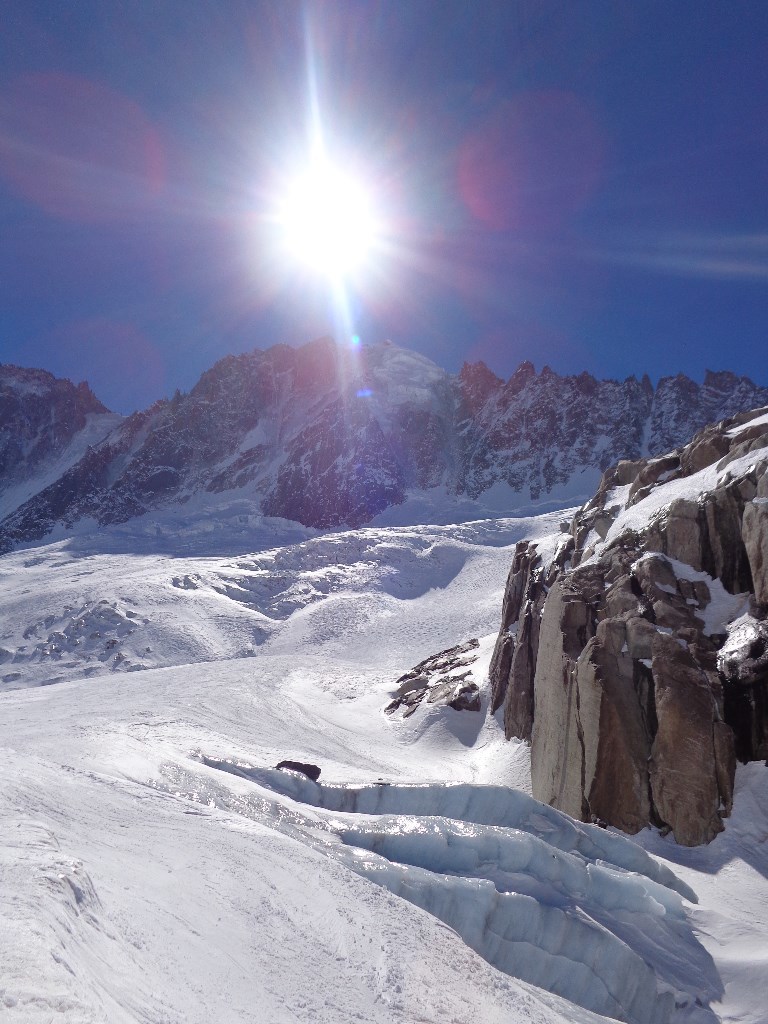
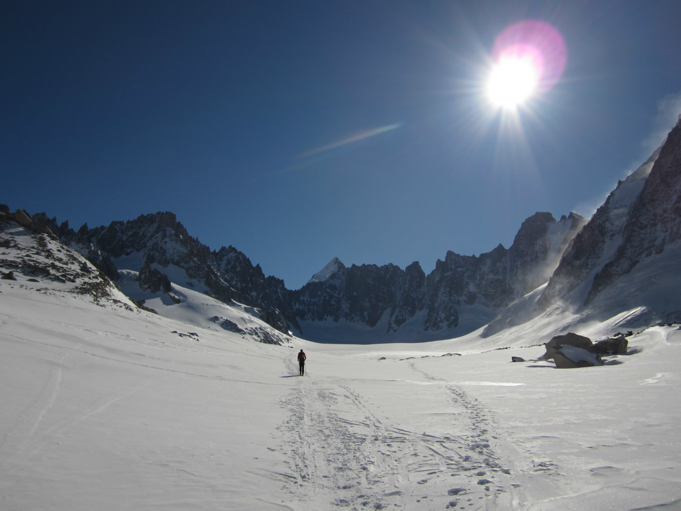
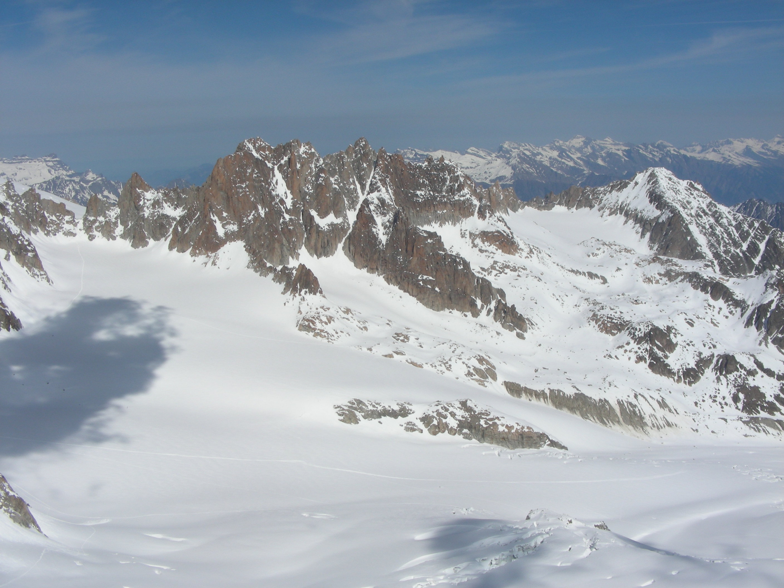
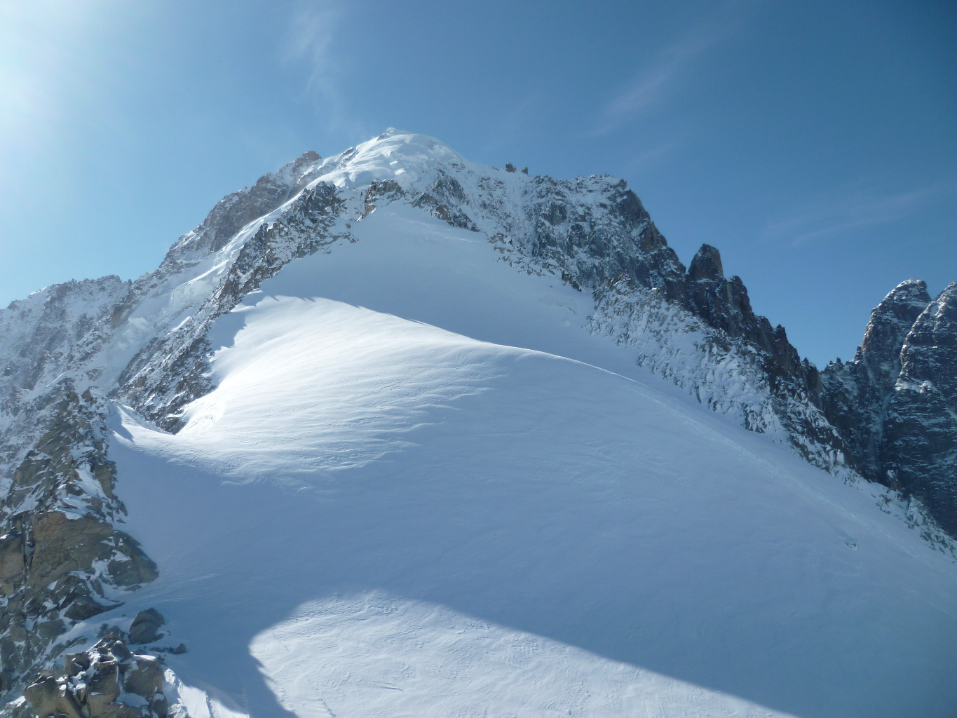
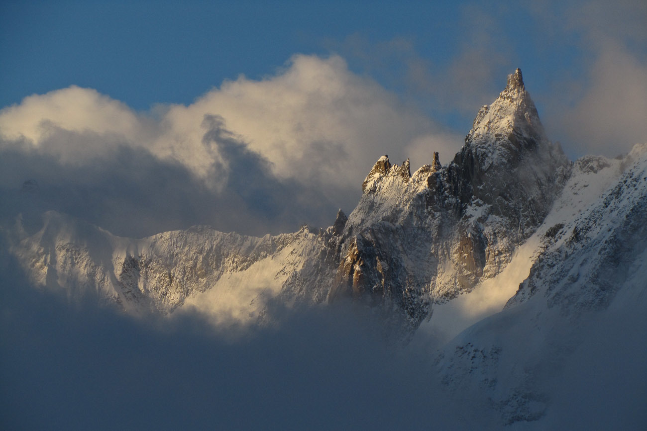
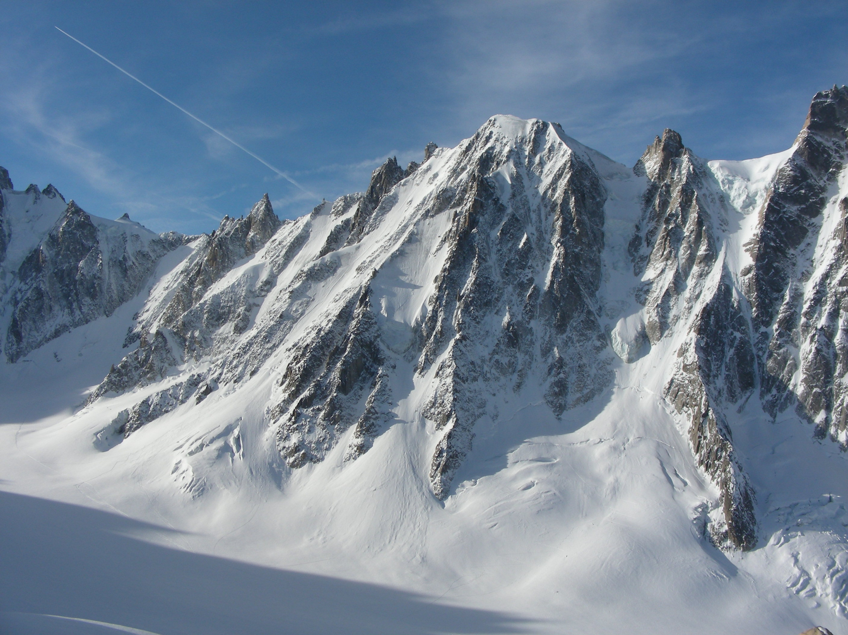
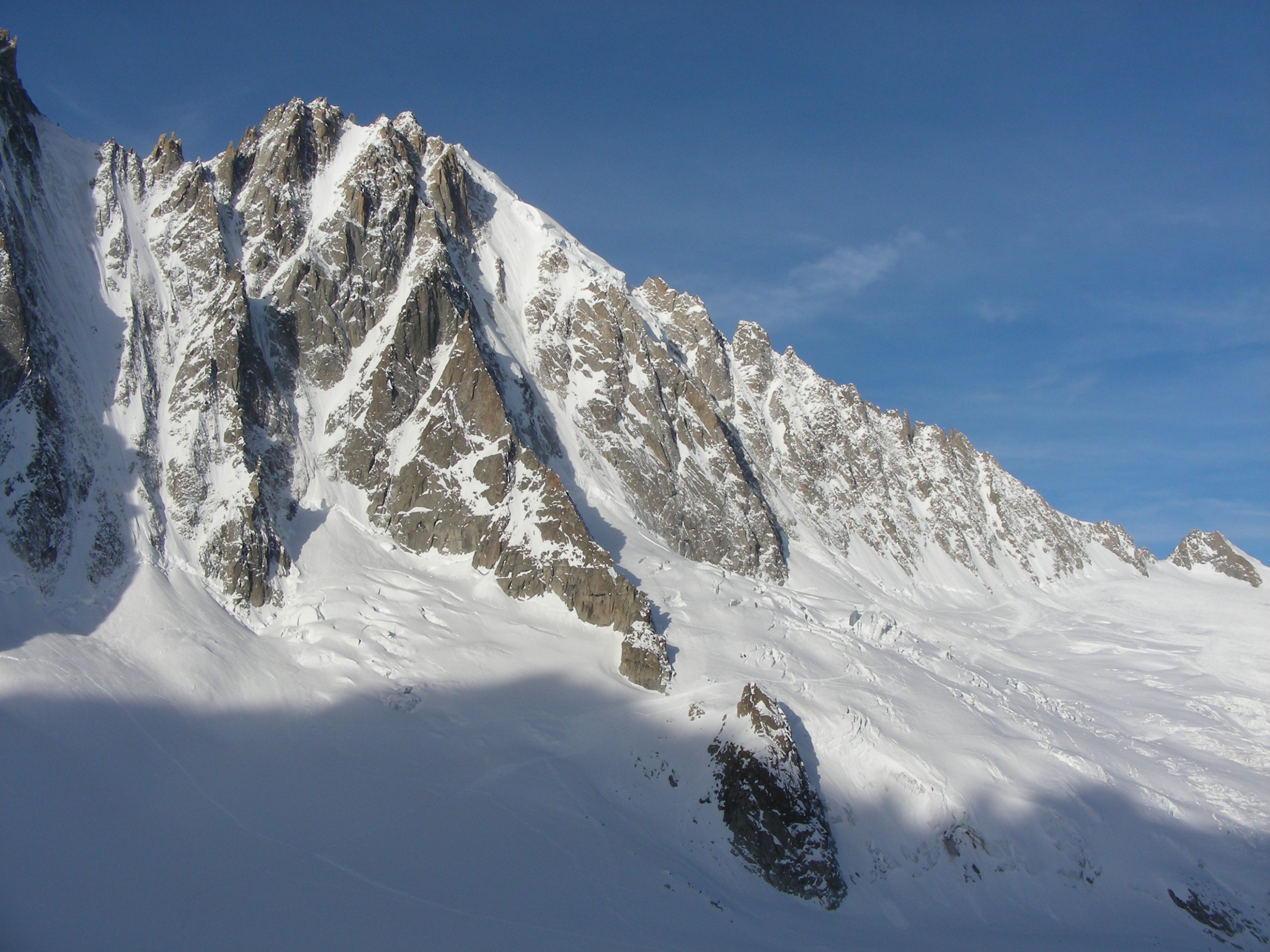
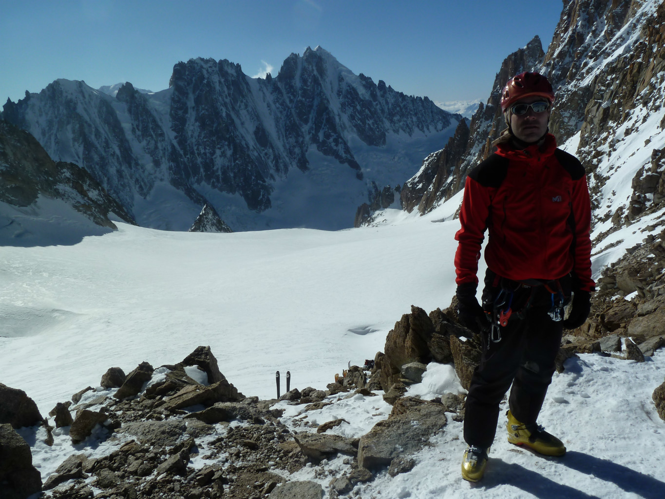
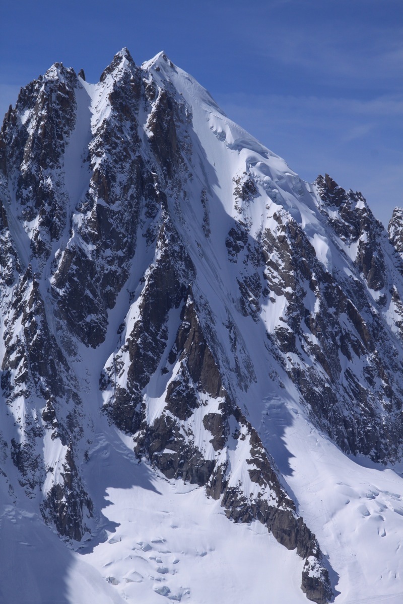
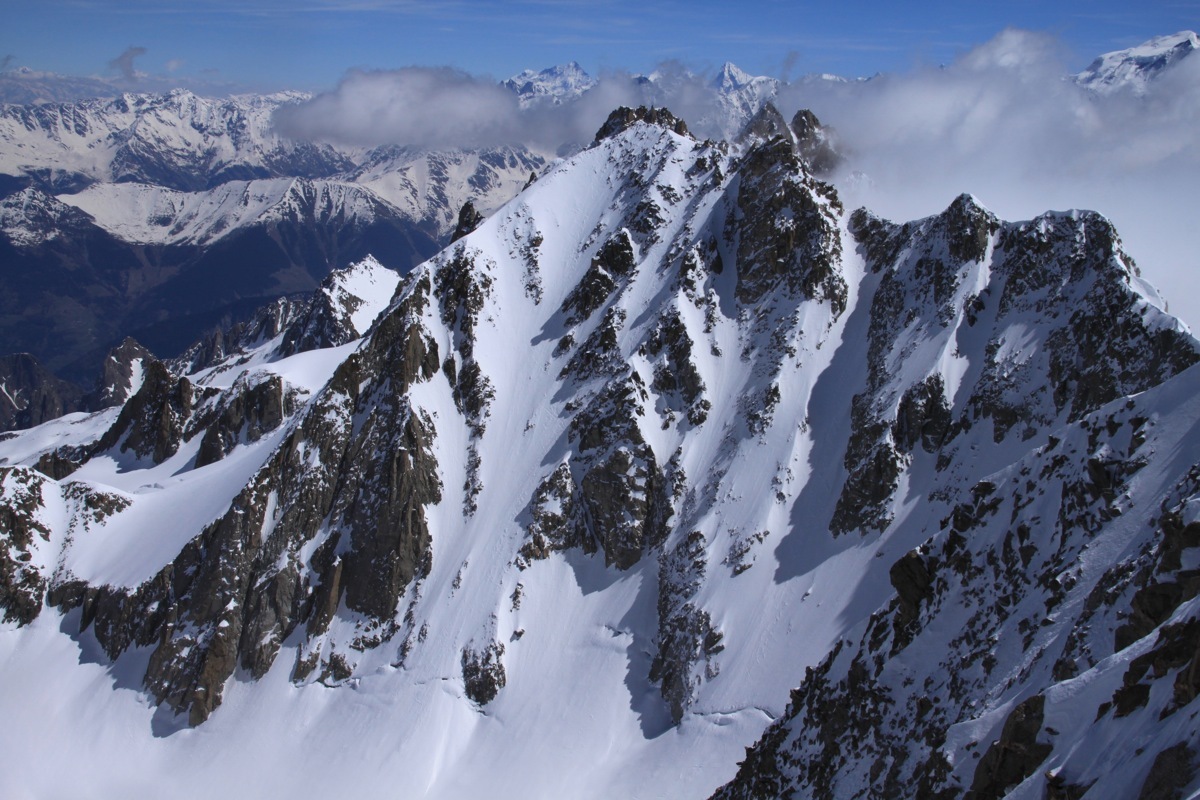
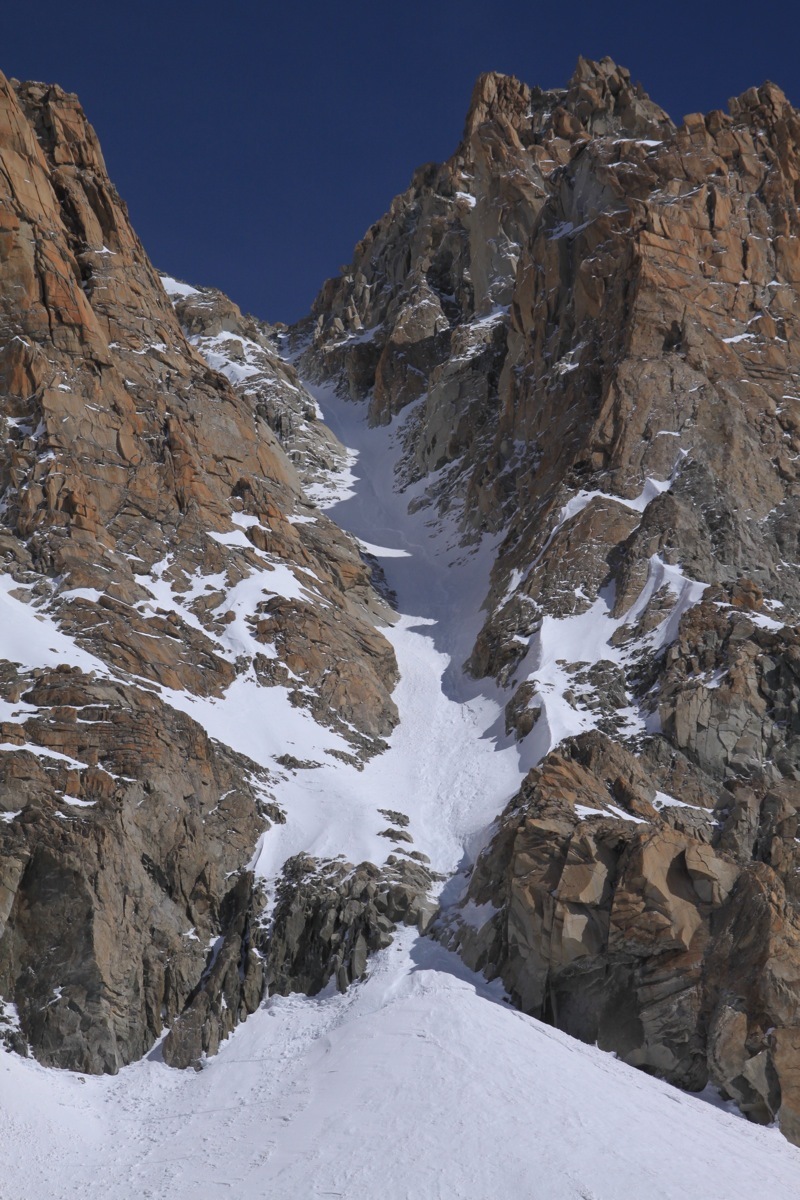
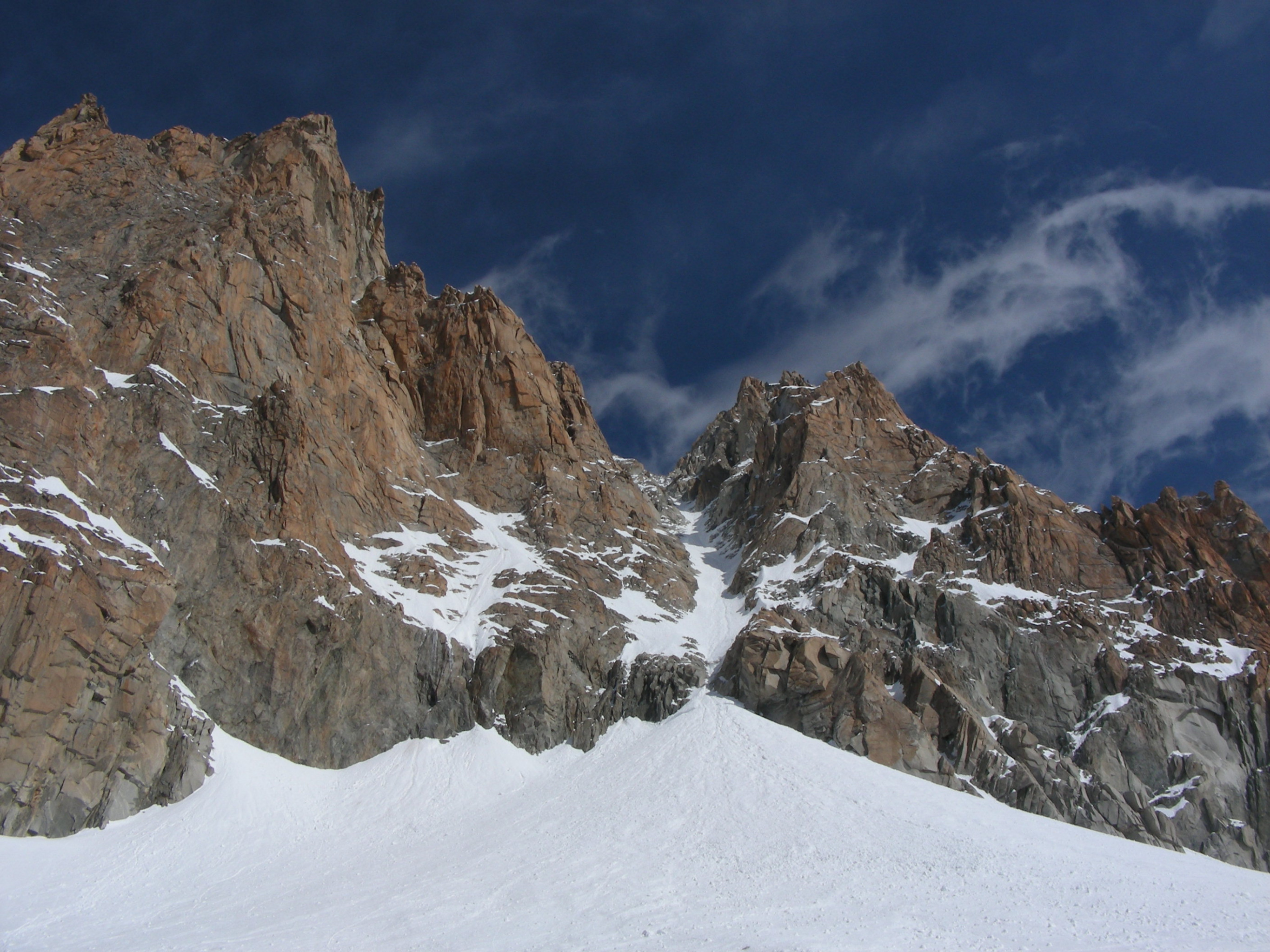
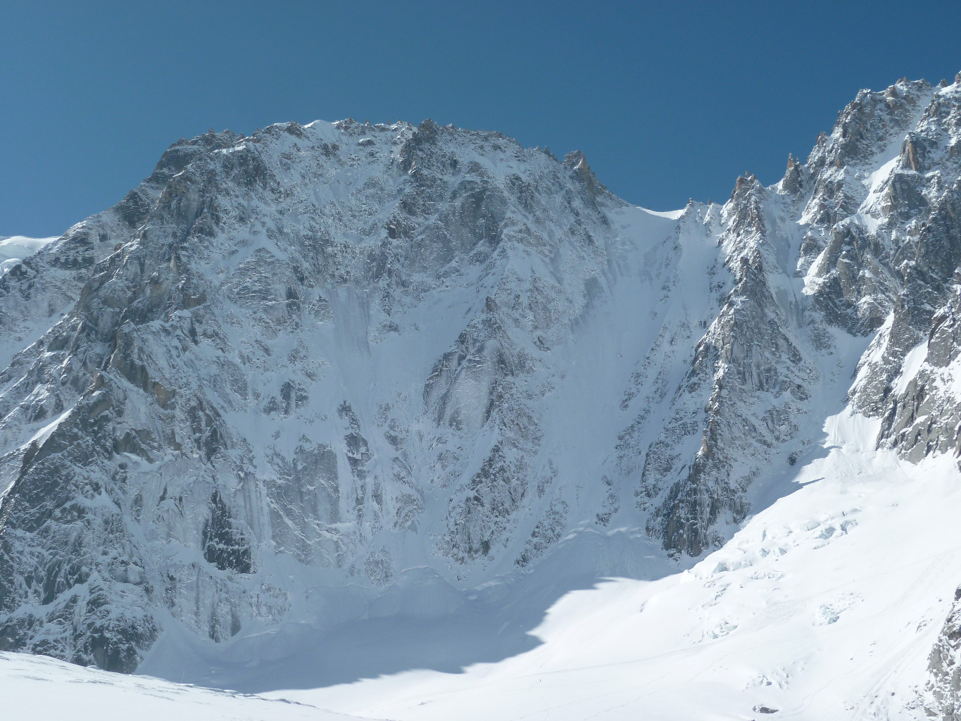
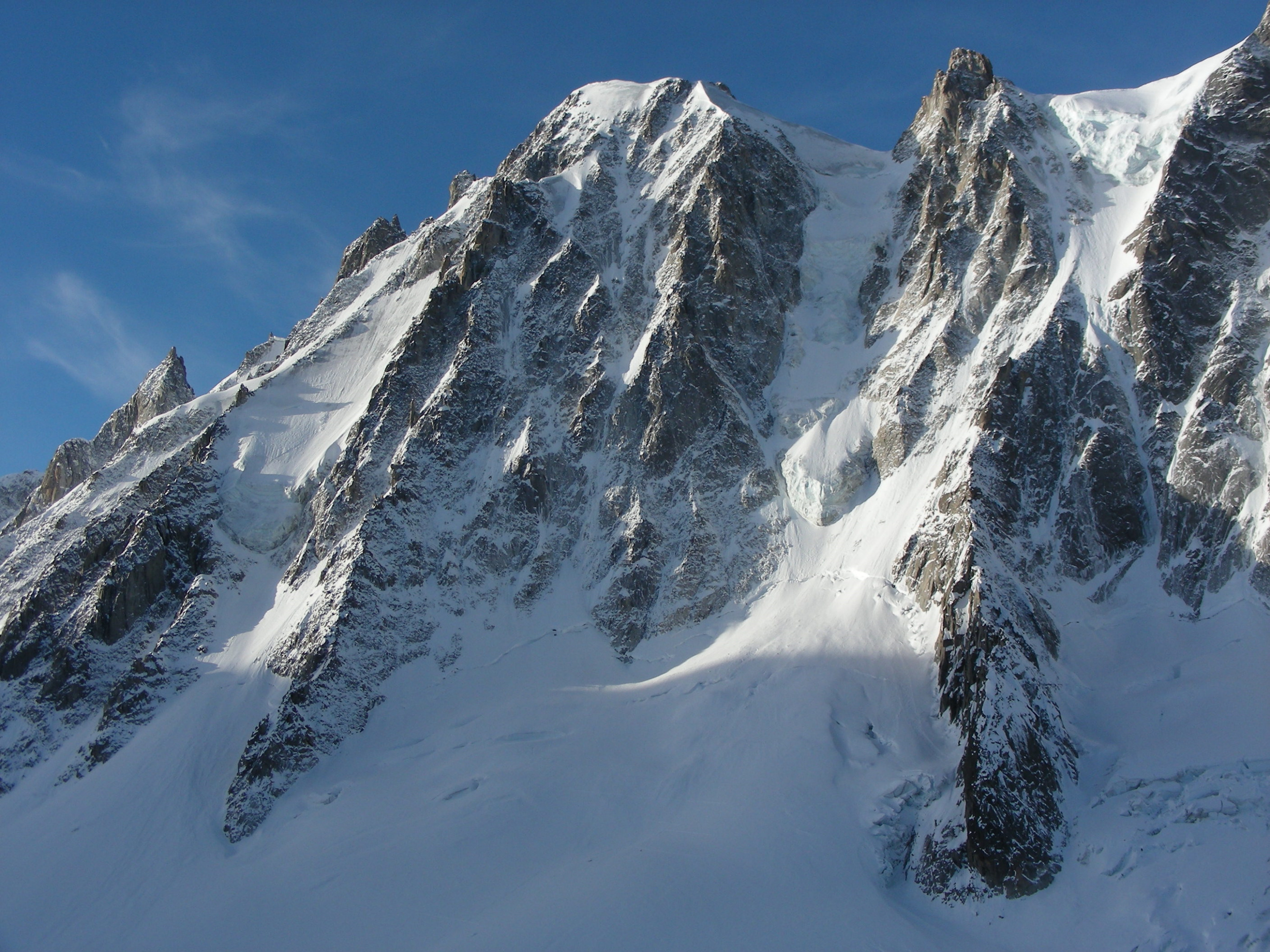
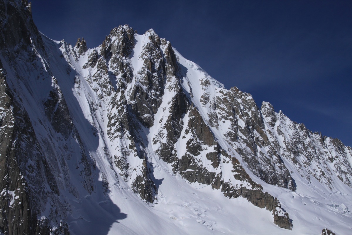
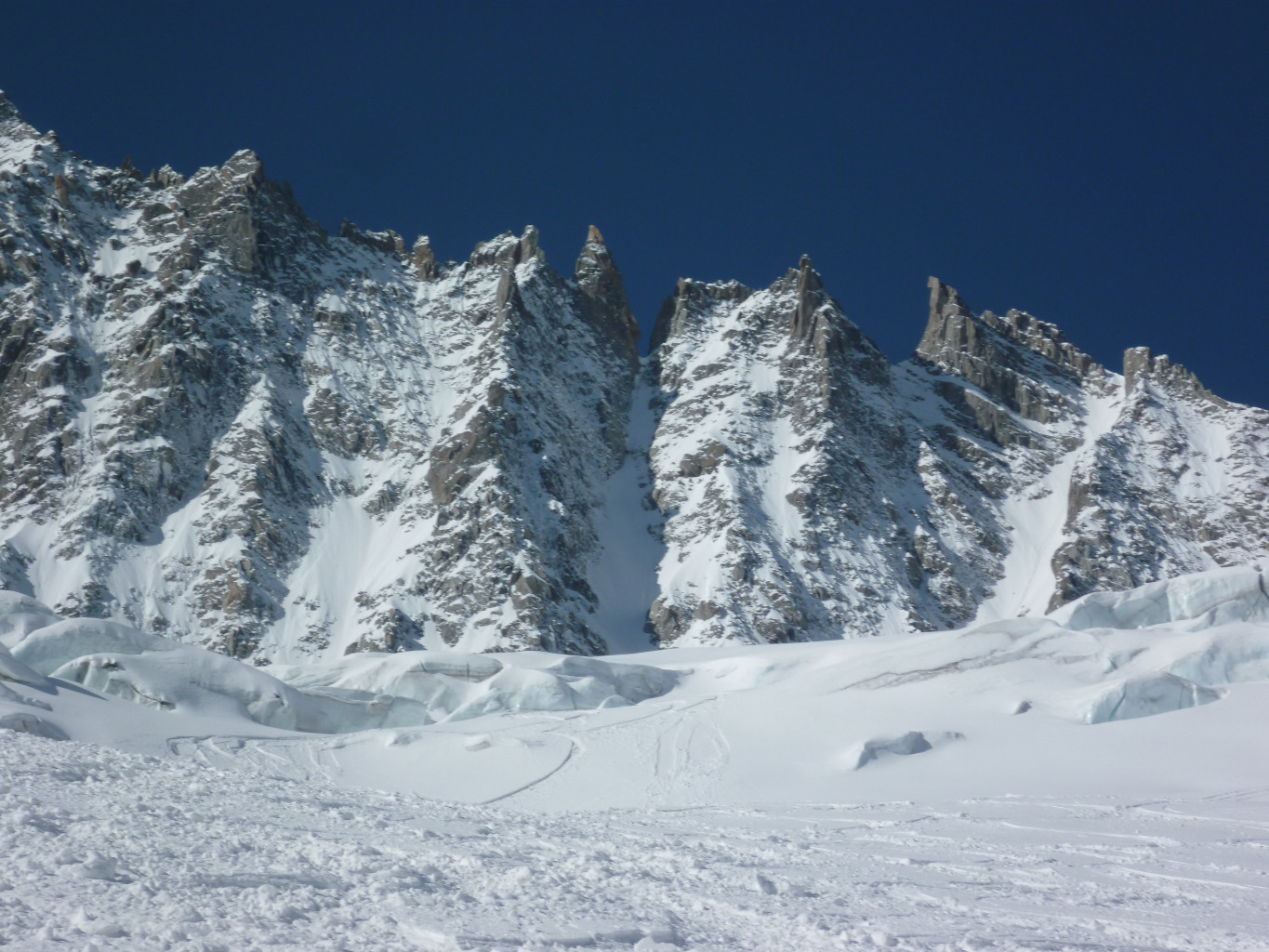
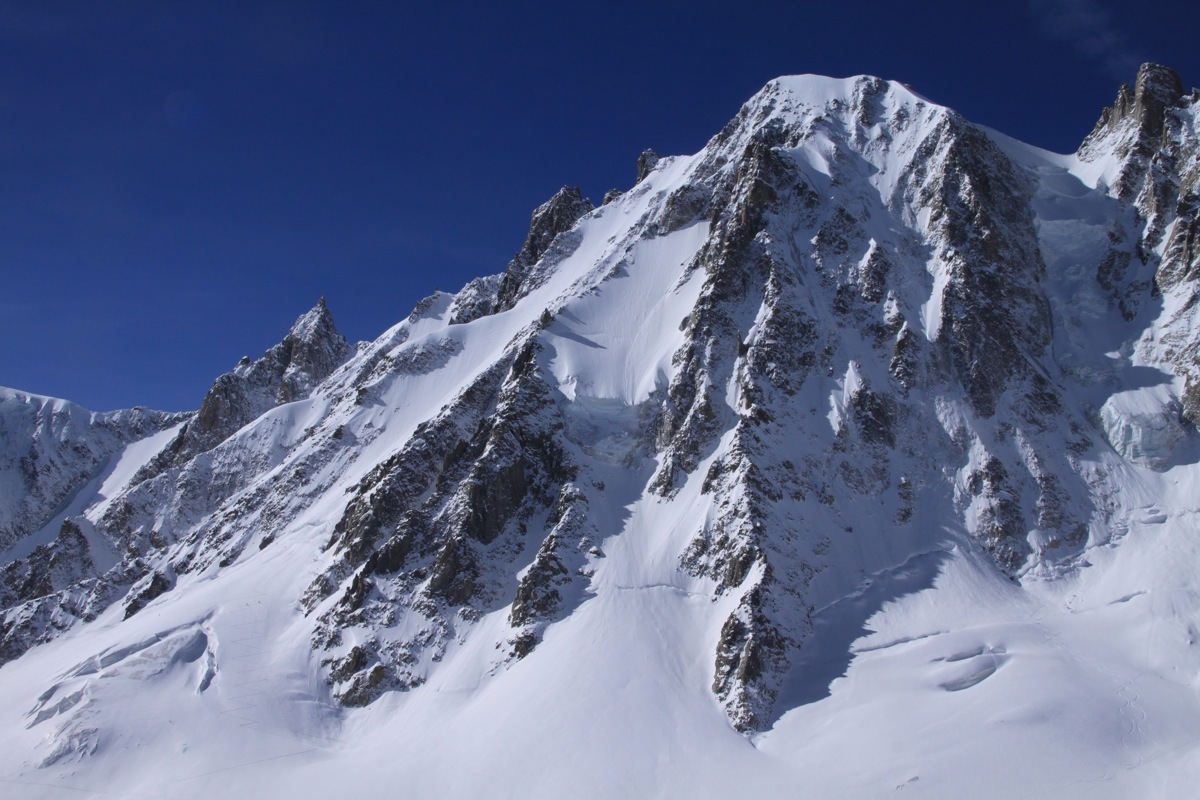
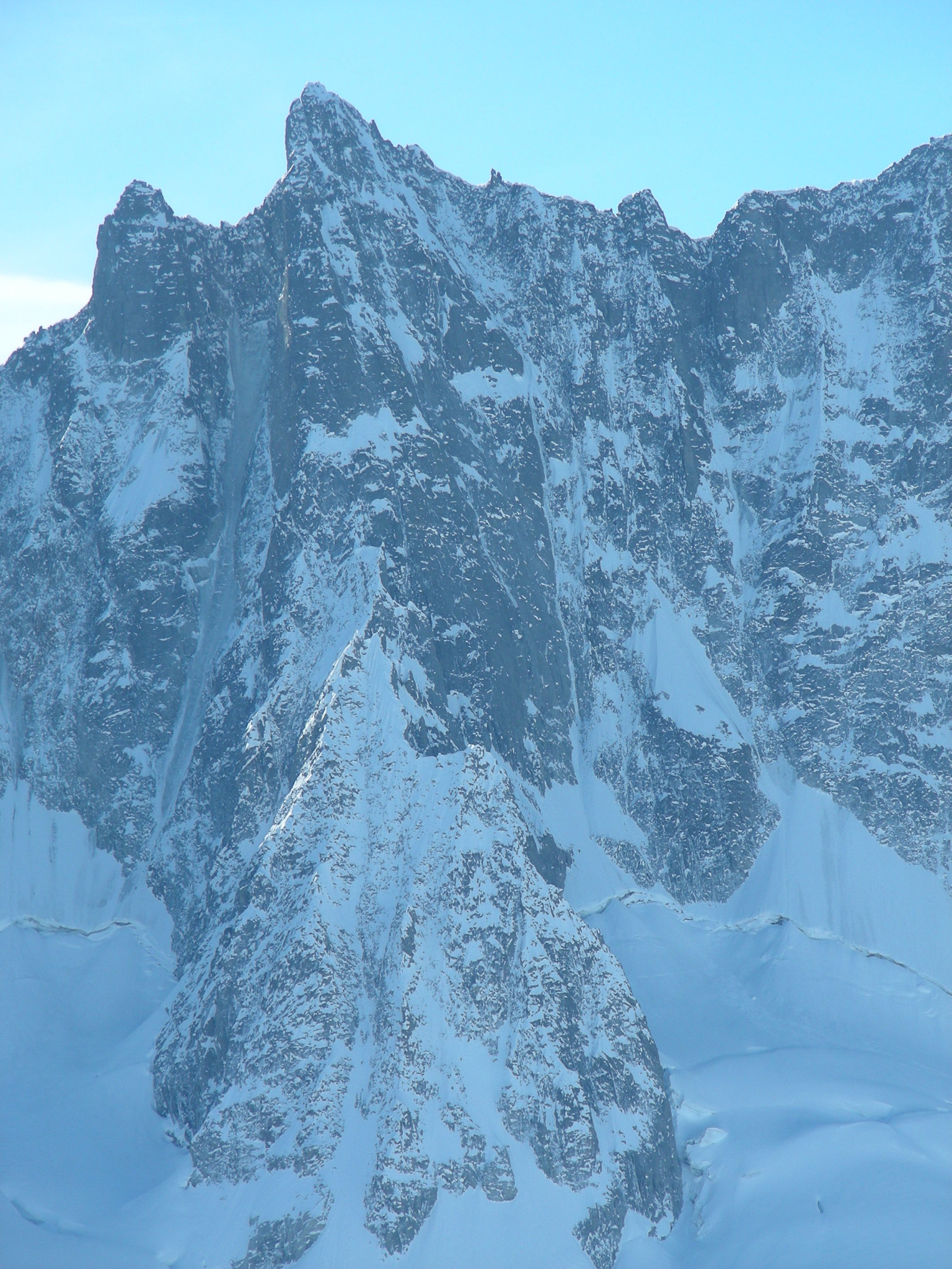
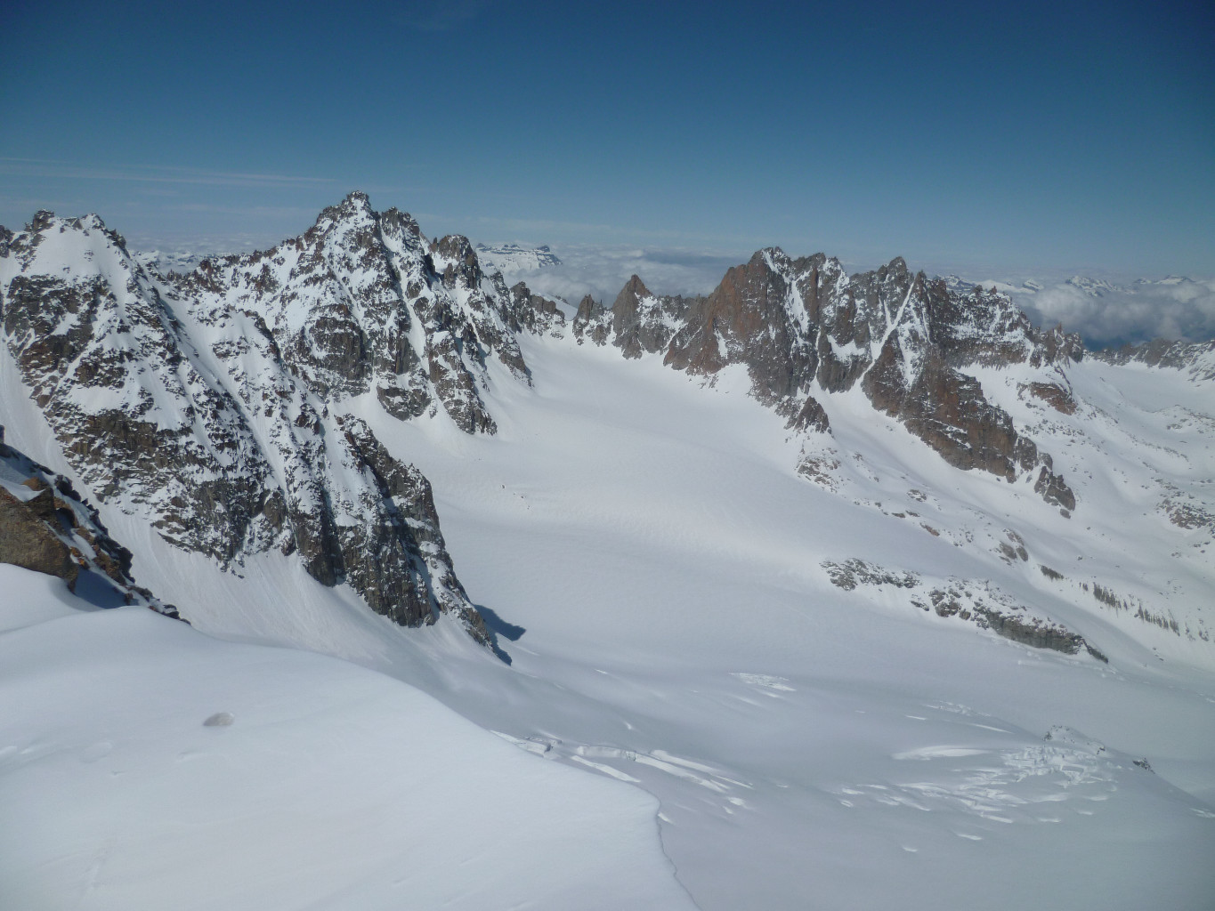
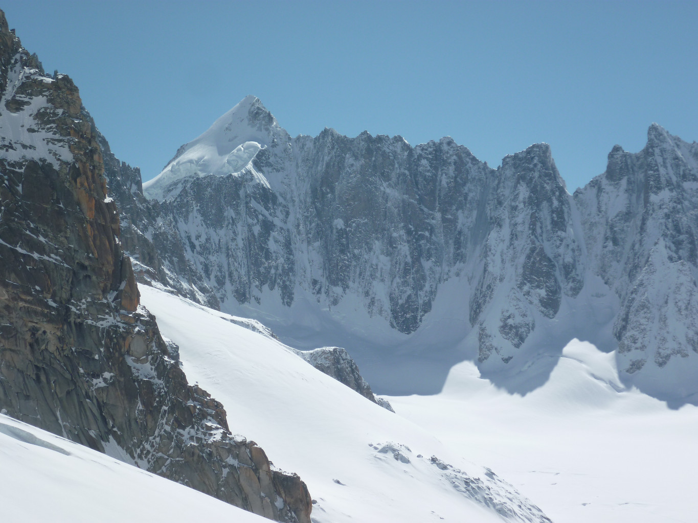
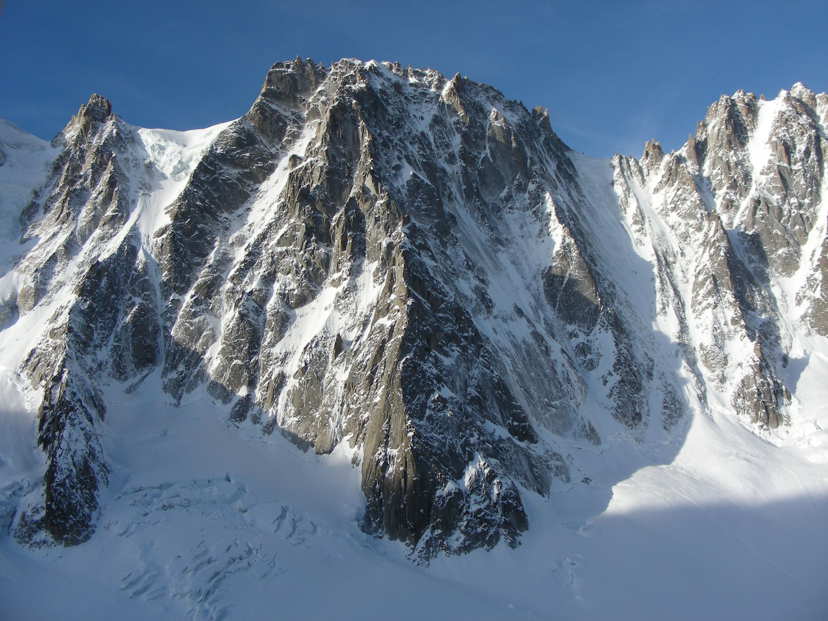
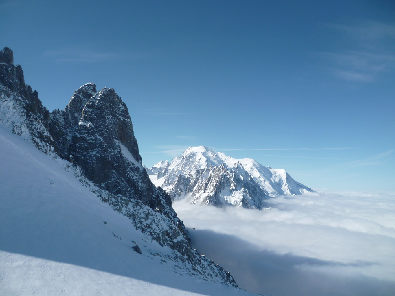
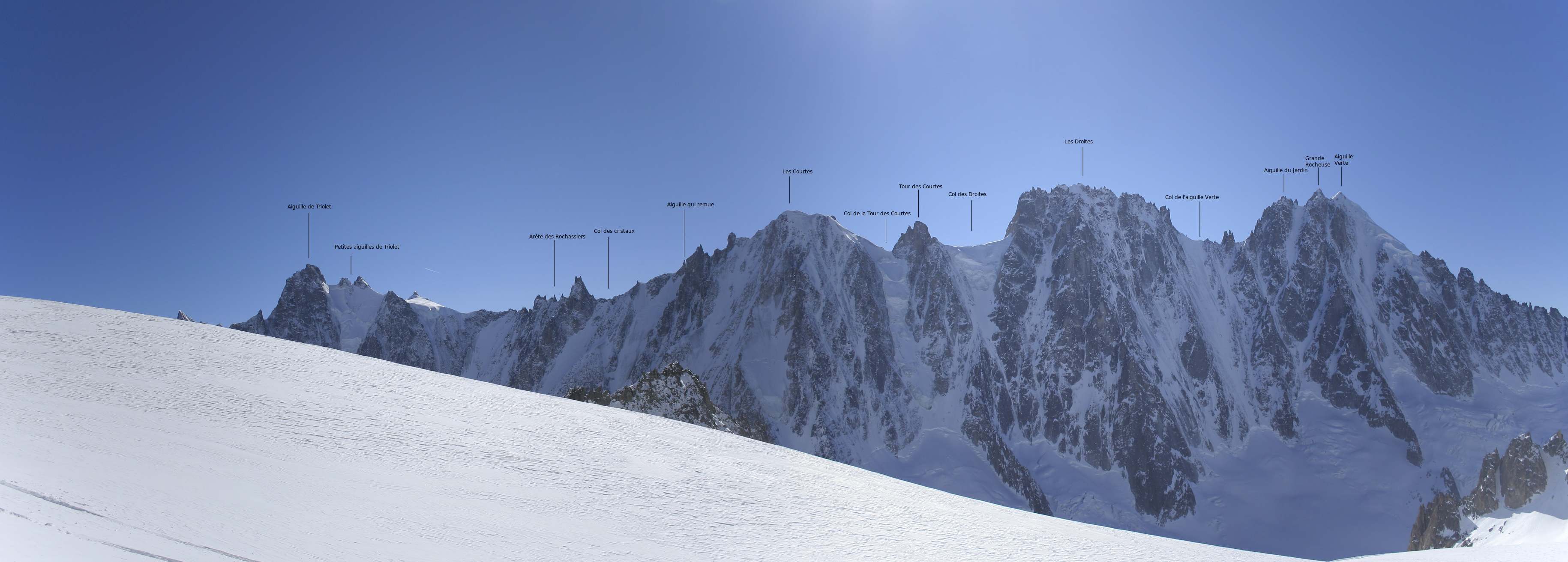
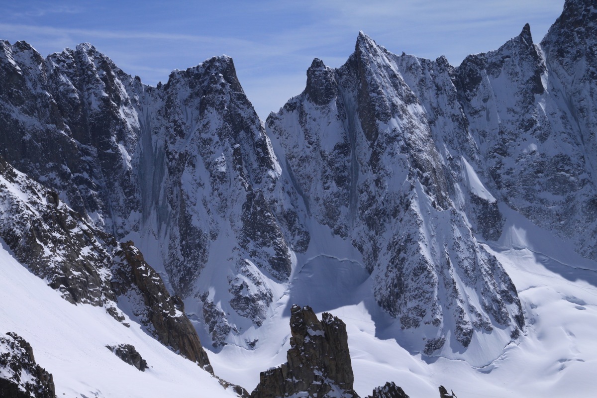
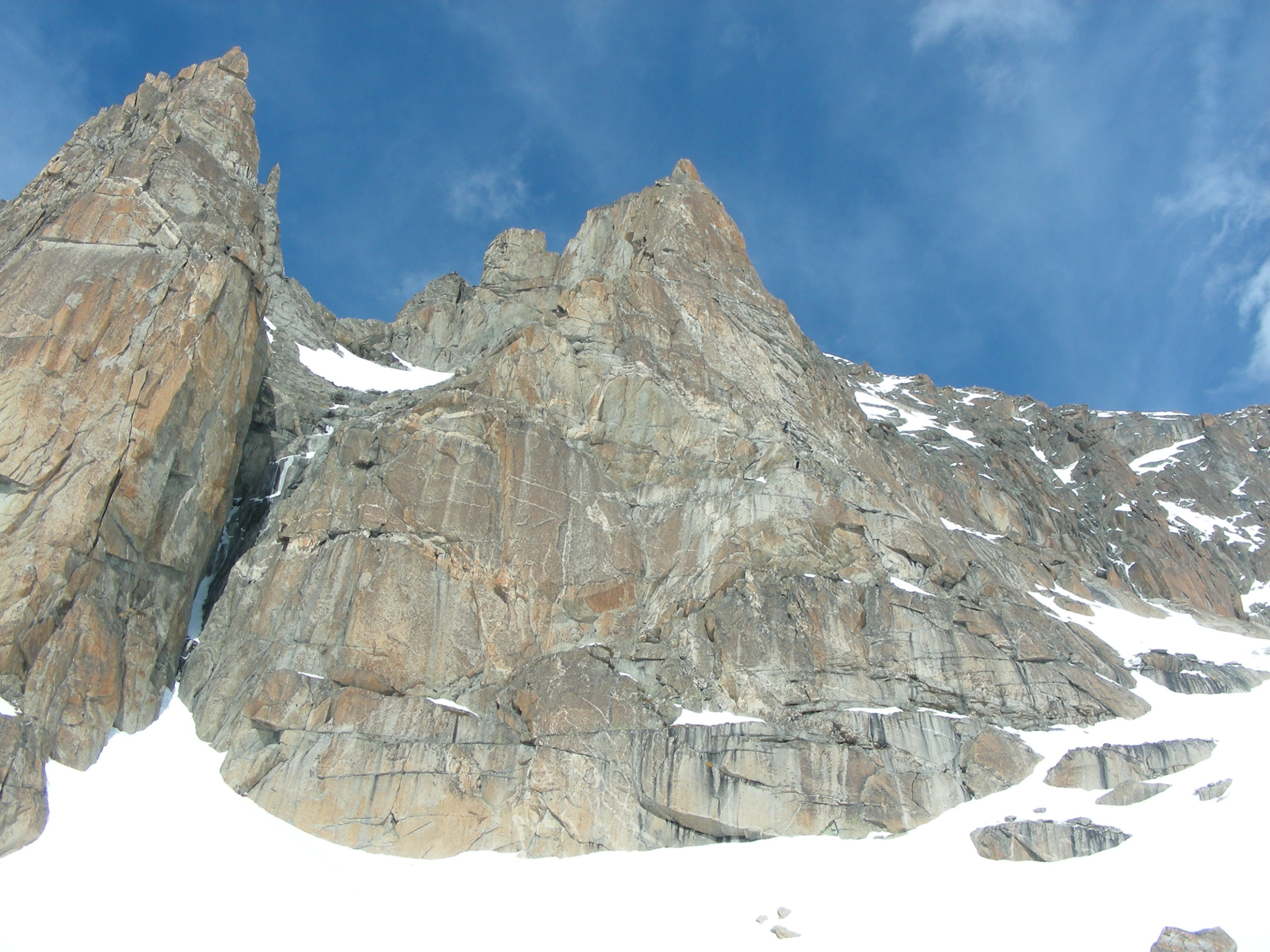
Beautiful classic route, good for beginning ski tour in a grandiose setting. Classically done in a day, you can also climb to Argentière refuge and sleep there in order to get around the hassles of the tram. Col du Tour Noir is not a classic sequence (east slope descent - S5 exposed).
Route # 5 to 6 h (ascent - descent)
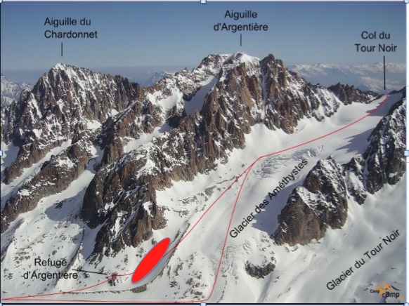
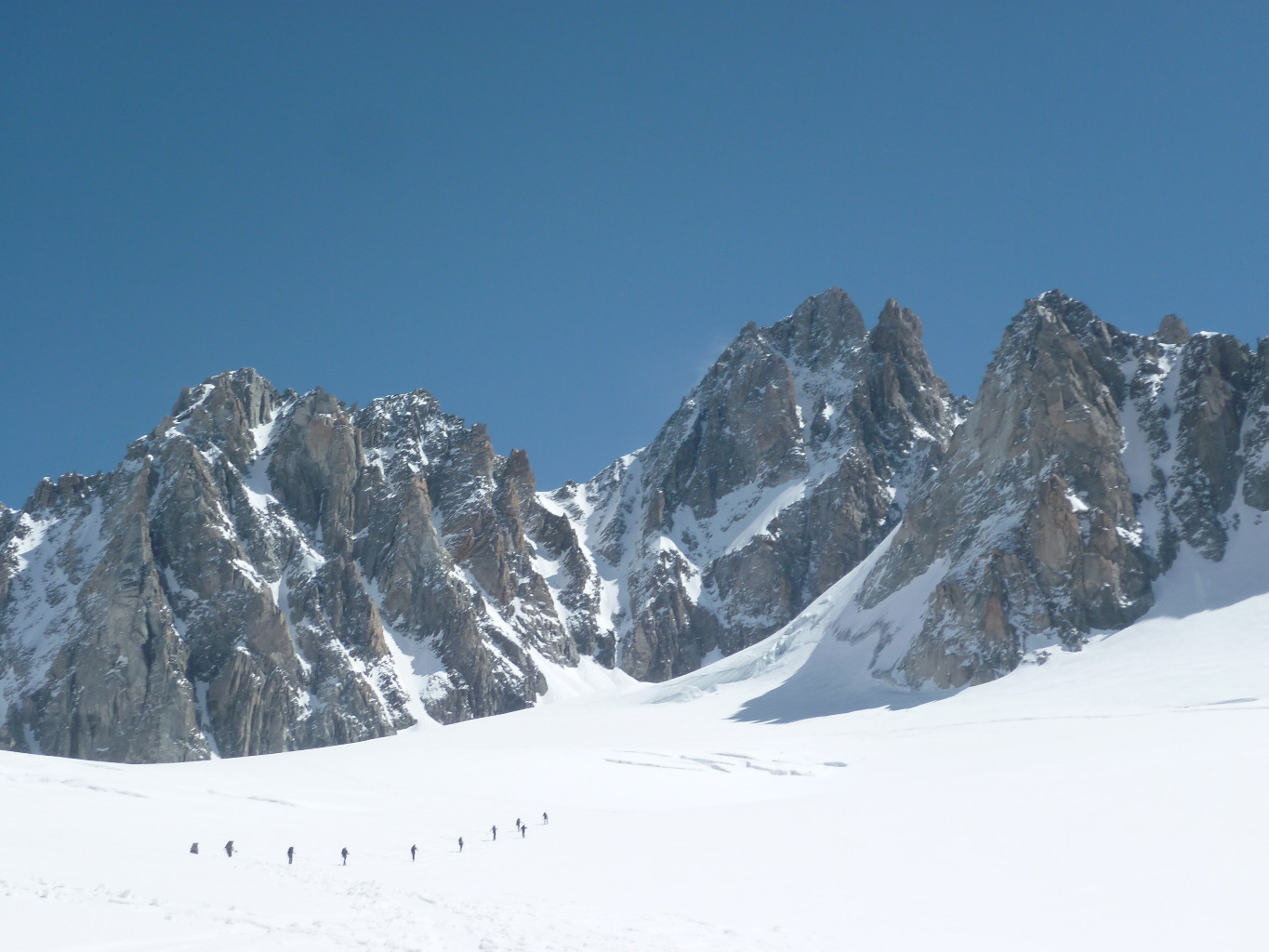
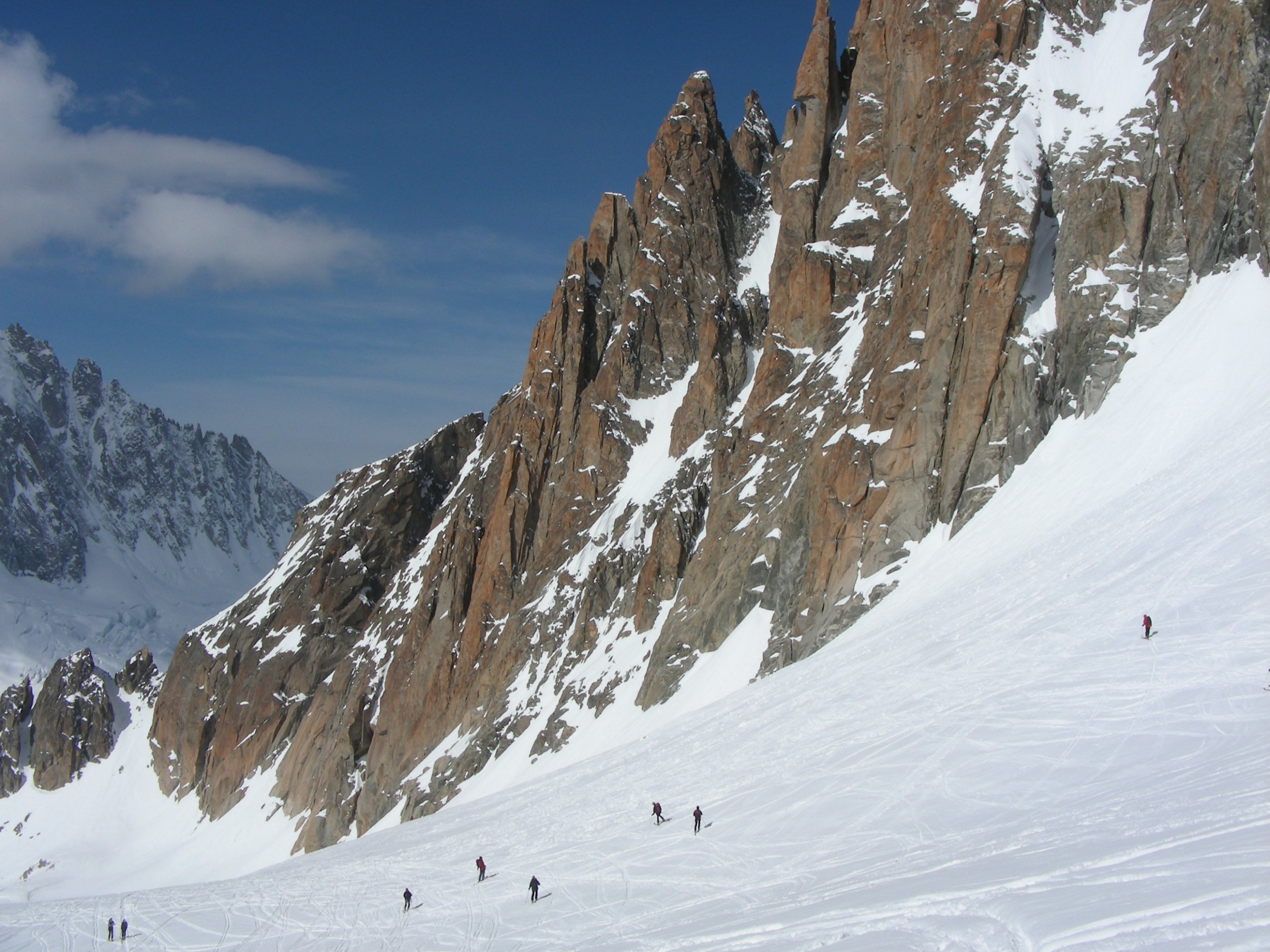
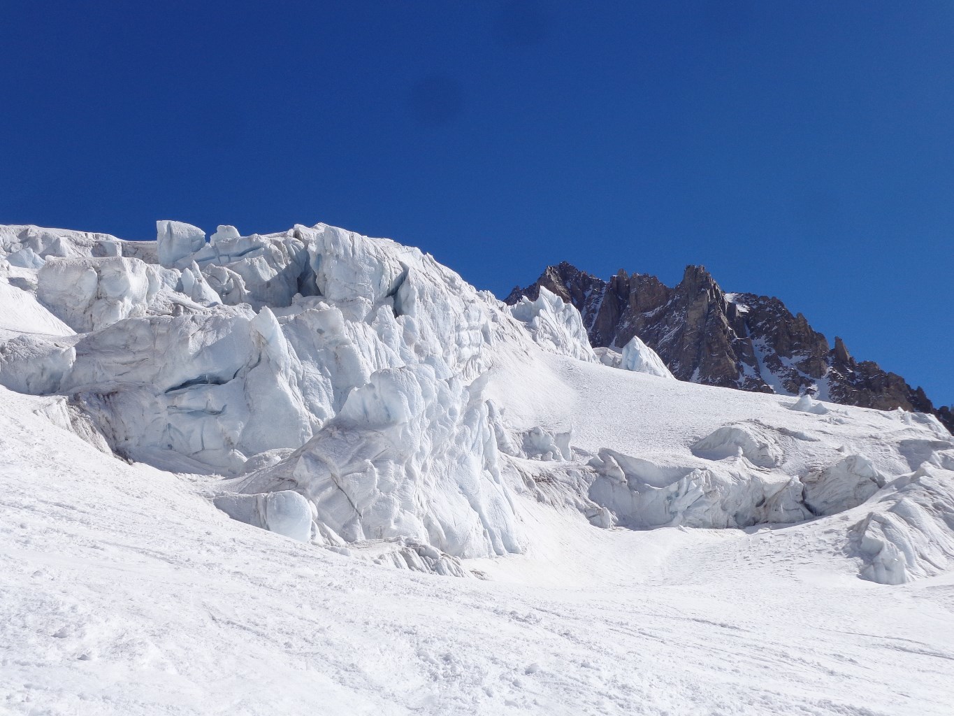
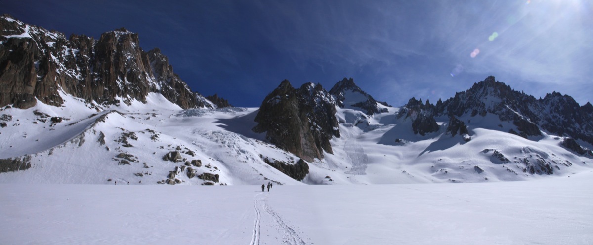
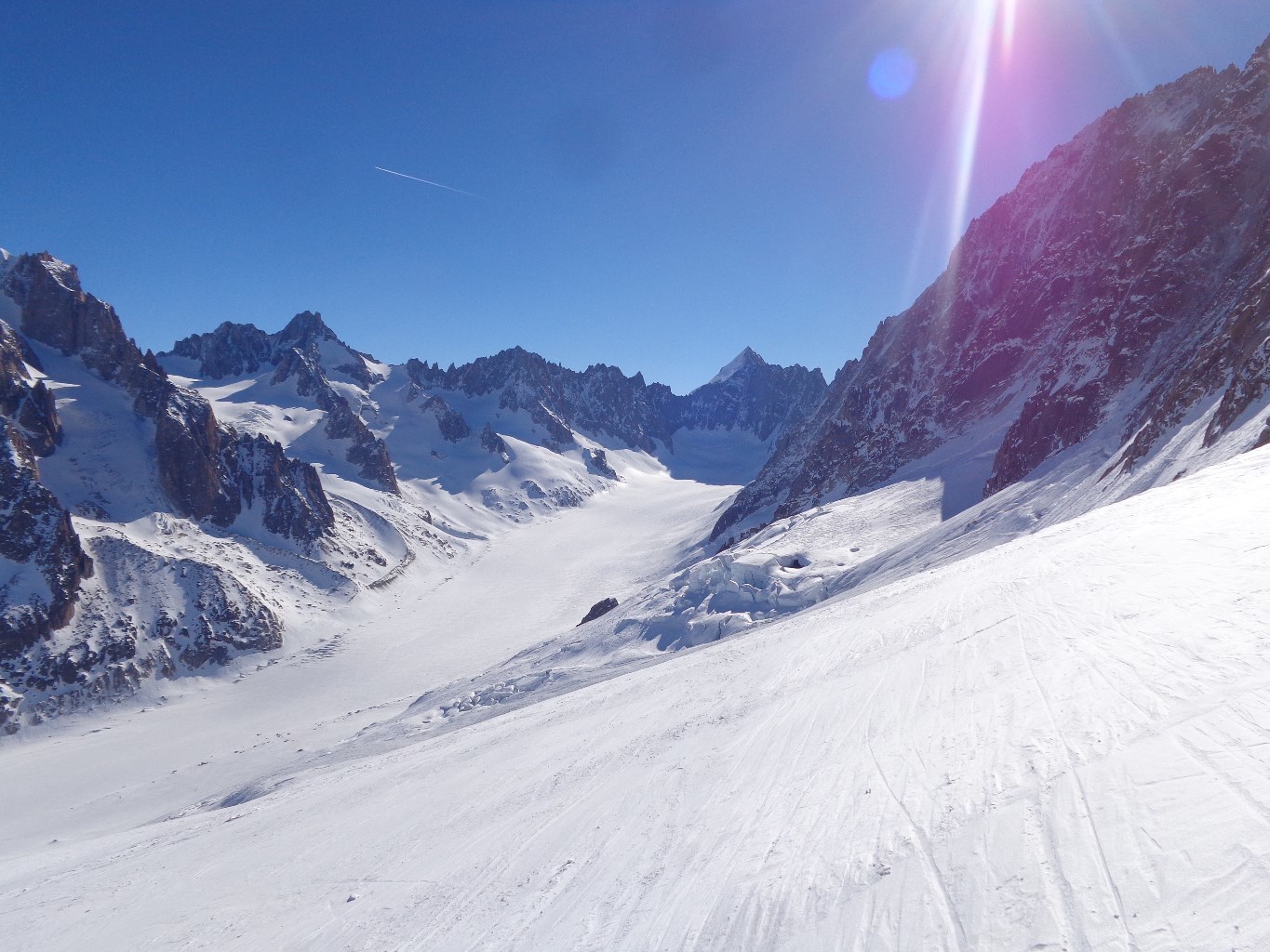
From Col des Grands Montets, follow the Argentière refuge route. Head for the “Point de vue” piste and quickly leave it on the right to descend Rognons glacier to the NE towards Argentière glacier. (classic wilderness skiing with numerous variants. You generally cross the ropes via a small opening with an advertising sign). You classically pass near the Rognon at spot elevation 3000 (primarily to the right) then to the south of the Rognons moraine. Via a traverse to the right, you reach the Argentière glaciers and put on skins (since there are areas exposed to avalanches from Aiguille Verte). Go up Argentière glacier with the base of Améthystes glacier in sight. You pass just below Argentière refuge.
Some years, if the snow cover is good, it is possible to traverse the Rognons glacier under Aiguille Verte to pass above the Rognon 2866 and directly reach the base of Améthystes glacier. (complex route, very crevassed and exposed to serac falls from Verte)
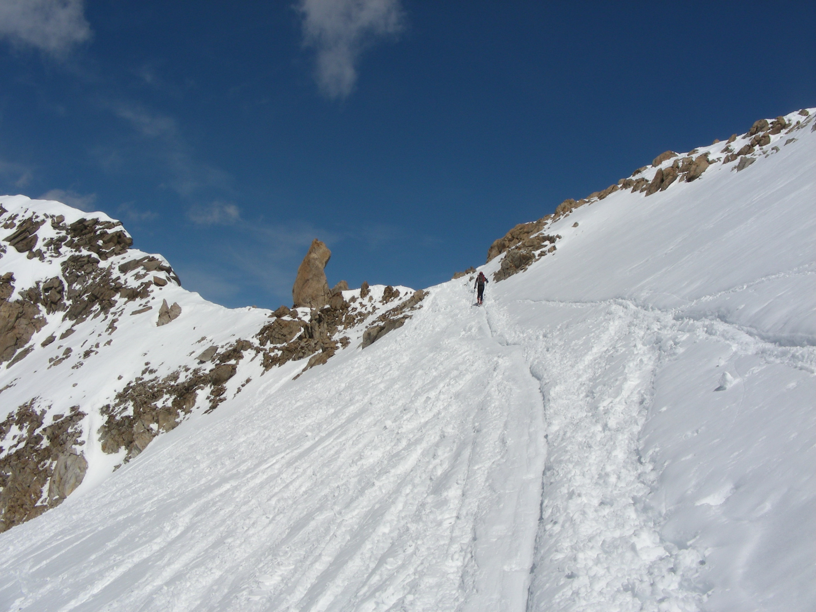
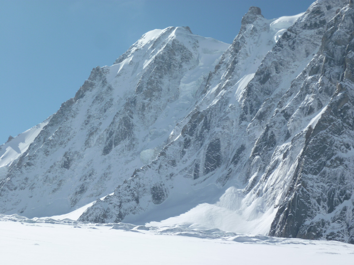
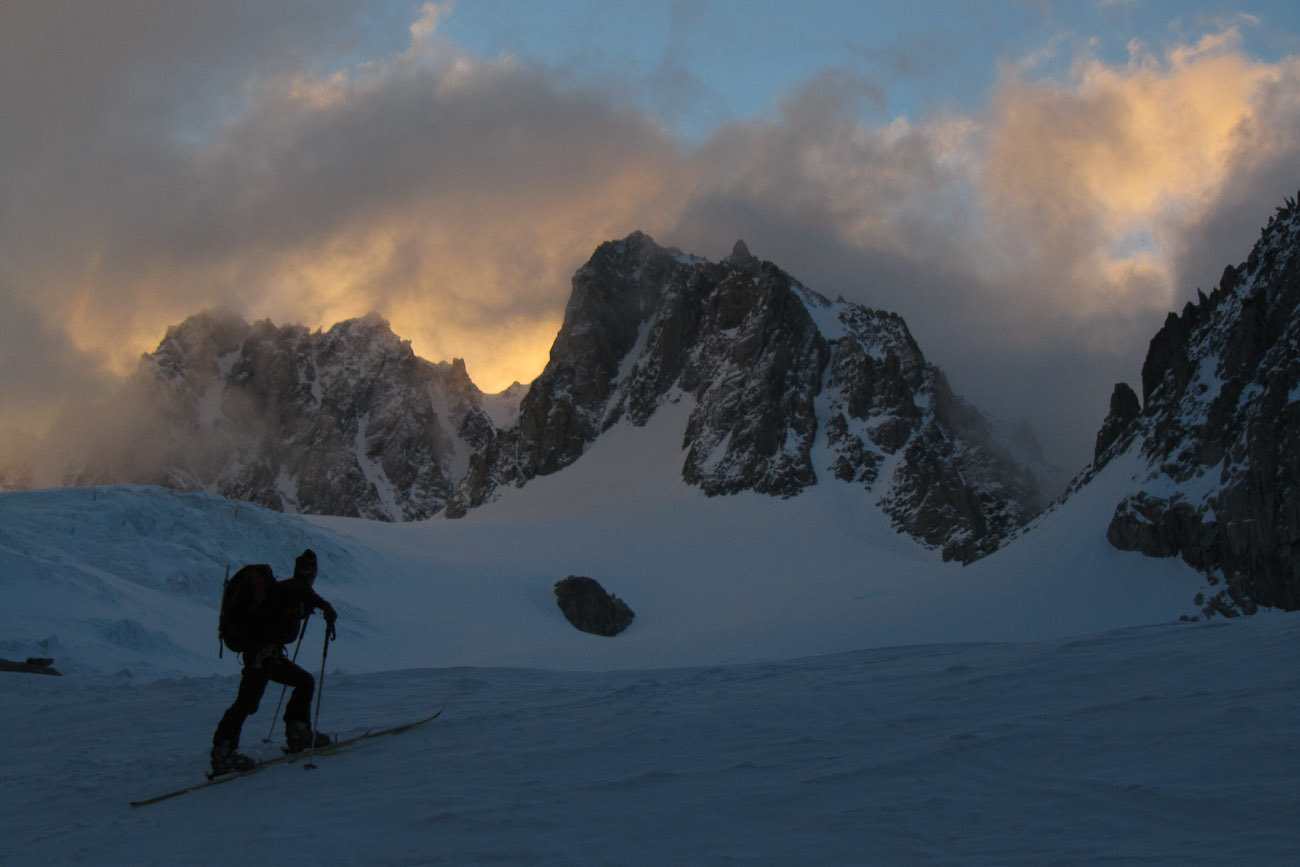
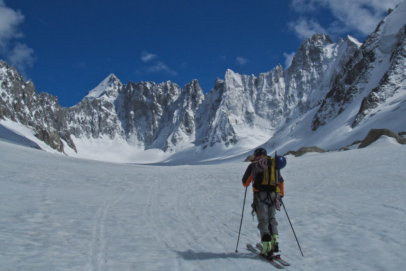
Go up Améthystes glacier, first primarily on the right bank then traverse to the right to avoid an area of crevasses. Then return to the centre in the direction of the pass. If the snow cover is bad at the base of the glacier, go via the refuge and the steep scoops above. Descend via the same route until Argentière glacier which you descend to reach its left bank to find the Grands Montets wilderness skiing area. Follow the left bank of the glacier (the route is sometimes crevassed and narrow) and after a slightly sloping area, leave the glacier uphill from a serac area around 2300m to reach the piste or wilderness skiing area until Argentière. You can also go towards the EMHM building (restaurant). If the snow cover is poor, you can reach Lognan and the “Pierre à Ric” piste with artificial snow.
- If the second section of the tram is closed, add 600m (+2h00).
- Crevassed route: get information on its feasibility.
- Descent from Grands Montets faces NE.
- Watch out for bad weather when returning after Argentière refuge, artificial release avalanches from the Grands Montets slopes are possible.

The text and images in this page are available
under a Creative Commons CC-by-sa licence.

Download the Whympr App to view this route in 3D.
- Route search (100 000)
- Community returns
- Weather forecast
- Avalanche bulletin
- Race book
- Creation of tracks
- Topographic map (including IGN)