

Open this route in the app to prepare your next outing.


Details
Approach # To the Tracuit hut 4-5h
In Summer: follow the marked path from the S end of the Zinal which zig-zags steeply up to Le Chiesso (2061m), (Not the Le Chiesso 2082m, 2.5km to the S!) passes the Roc de La Vache and so up to the Col de Tracuit. The hut is on the Turtmann glacier side, just S of the col. In Winter: From Zinal go past the Roc de la Vache, up to La Lé, (a flat area). Climb up to a col behind the side of the Roc de la Vache, which is followed by a short descent before going up to a building on the left, (Combautanna 2578m). Go up to the col du Tracuit, (cables for 5m) and make a level traverse to the hut on the Turtmann side.
Route
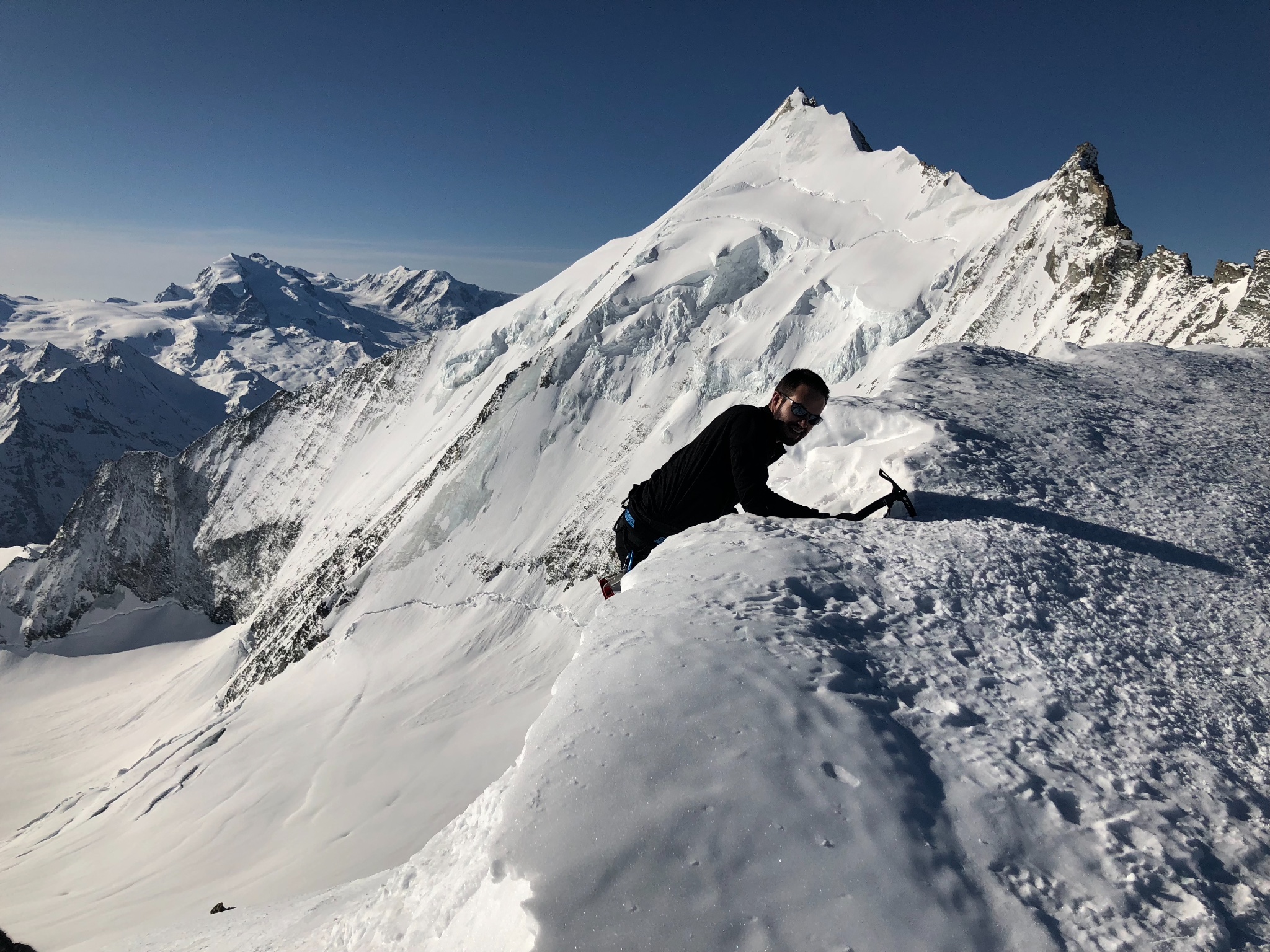
From the Tracuit hut (3256 m), cross the Turtmann glacier going slightly upwards to reach the col SE of Pte 3591m on the NNW ridge of the Bishorn. Ascend the large slope to the saddle between the two summits of the Bishorn. Climb to the summit on the right with a steep final slope (35º, crevasses.)
Descent
By the same route Ski Alternatives: It is possible to climb up to the Col de Milon and descend by the Ar Pitetta.

The text and images in this page are available
under a Creative Commons CC-by-sa licence.

Download the Whympr App to view this route in 3D.
- Route search (100 000)
- Community returns
- Weather forecast
- Avalanche bulletin
- Race book
- Creation of tracks
- Topographic map (including IGN)