

Open this route in the app to prepare your next outing.

Details
Ascent
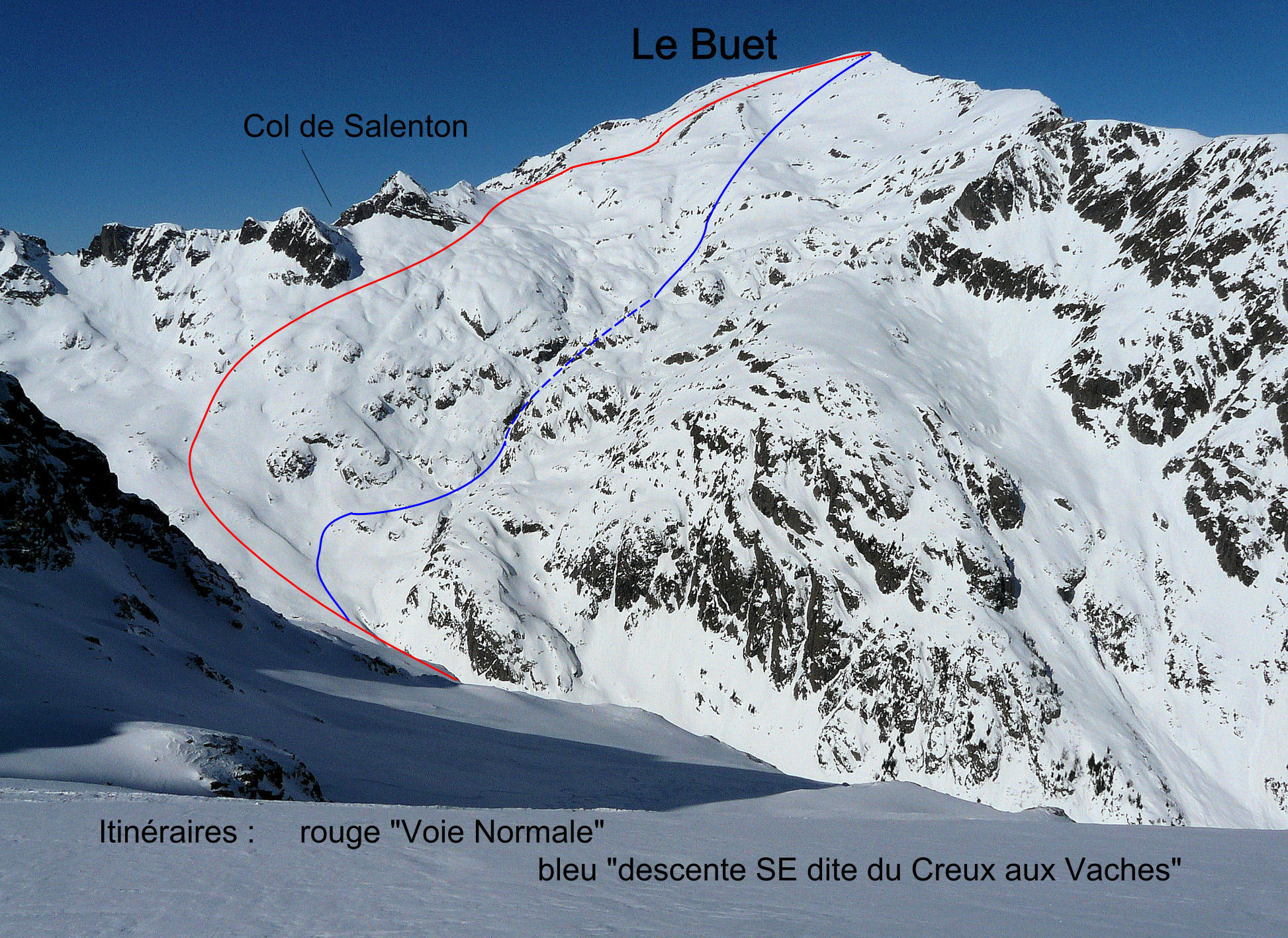
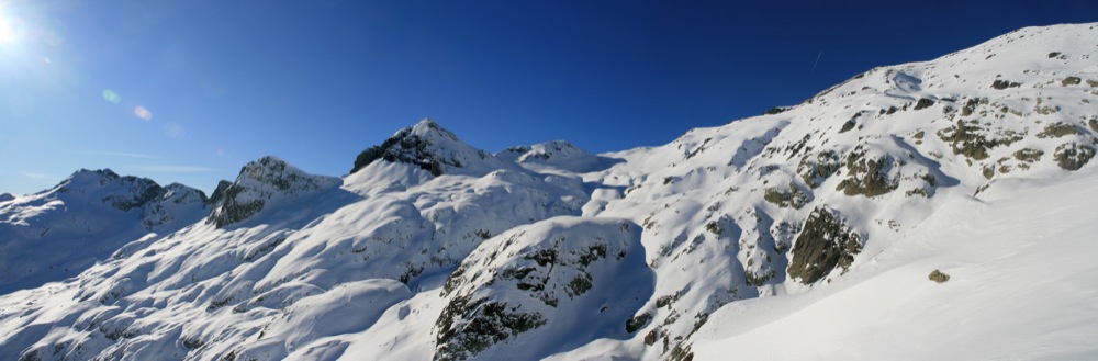
Start from the railway station at Buet, Vallorcine. Go to the top right of the little Poya lifts and follow up, passing the “Buvette du Cascade” (closed in winter) on the other side of the river, keeping to the true right bank of the l’Eau de Bérard. At the Vordettee bridge, take the true left bank to above the tree line. Follow the valley floor until it rises up to the Pierre de Berard Hut, often completely under snow and therefore invisible. Climb up to underneath the col and aiguille de Saleton, to reach the Mortine ridge and then ever upwards to the radio aerials at 3048m. Follow the easier angled ridge to the summit, (cairn.)
Descent
Follow the same route as the ascent. For the lower part of the valley, keep to the true right bank, often a fairly icy and challenging track through the bushes

The text and images in this page are available
under a Creative Commons CC-by-sa licence.

Download the Whympr App to view this route in 3D.
- Route search (100 000)
- Community returns
- Weather forecast
- Avalanche bulletin
- Race book
- Creation of tracks
- Topographic map (including IGN)