

Open this route in the app to prepare your next outing.


Details
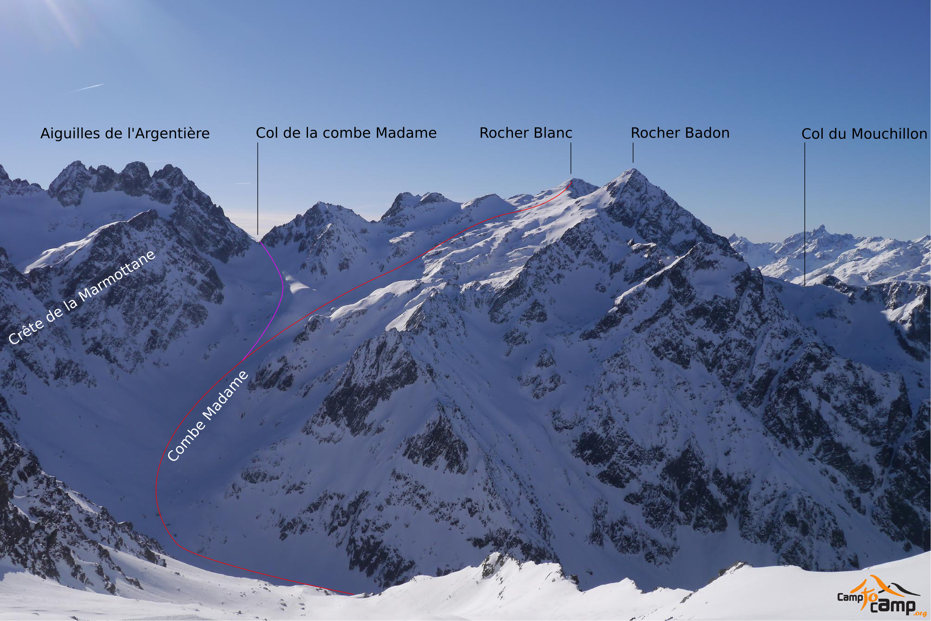
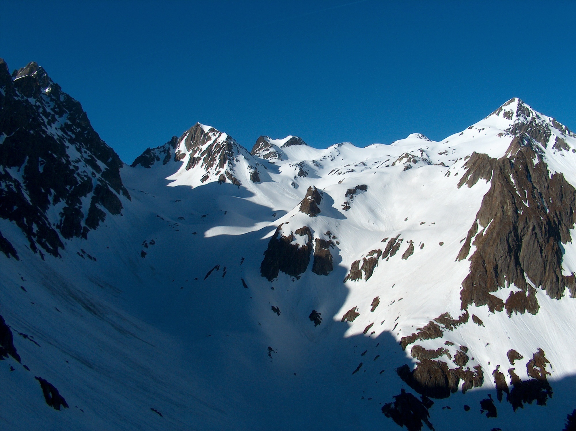
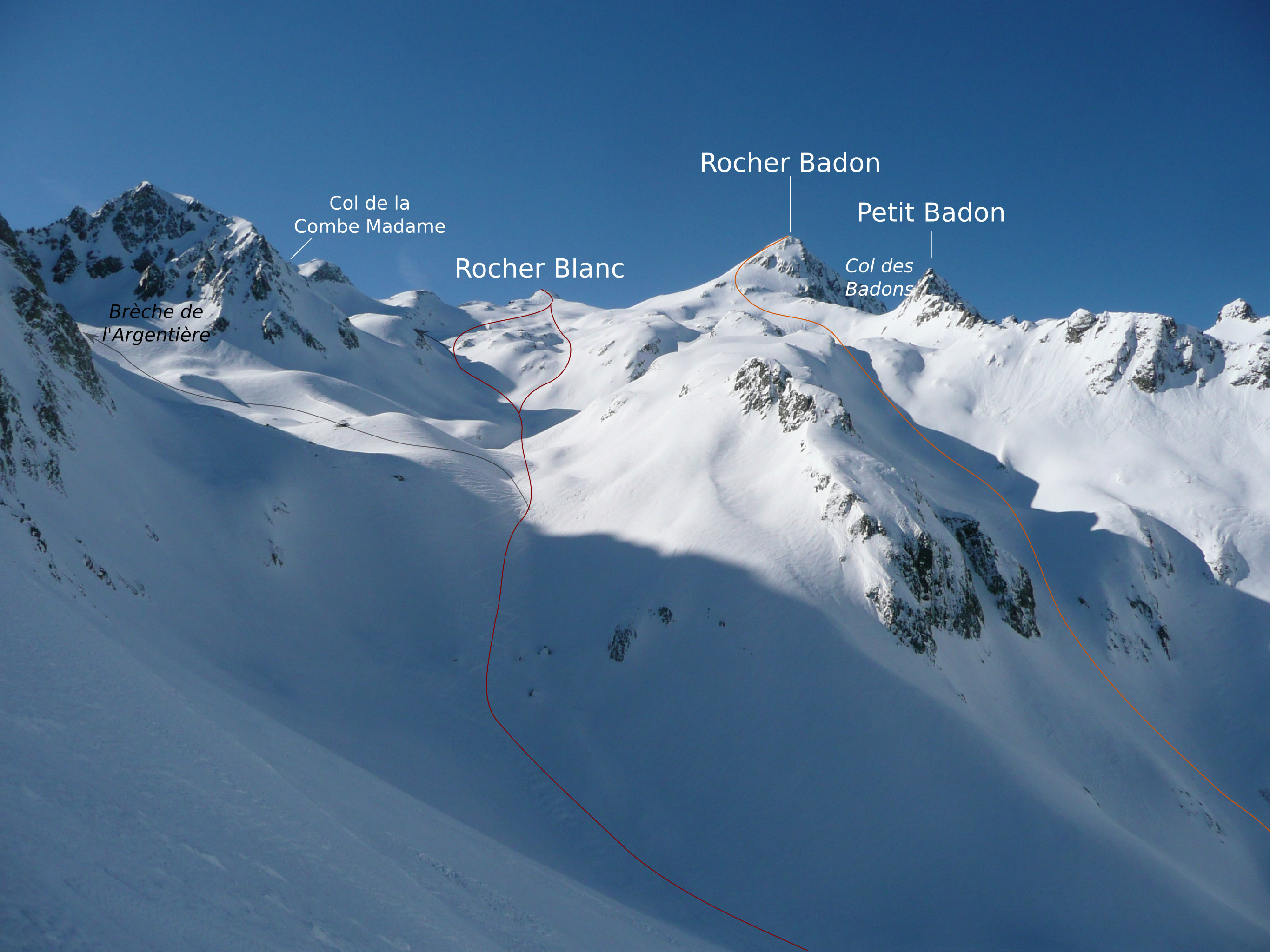
From the Nemoz Auberge at la Martinette take the Combe Madame footpath that climbs through woods on the right bank of the river (dont follow the path to the Pissou Cascade). At 1450 meters there is a clearing and the first chalet can be seen on the left. Continue to the refuge of the Combe Madame at 1784 meters (1h45m). You can put on your skis as you exit the woods, snow permitting. A small gorge leads up to a flat valley, don t follow the cascades but climb to the left. This is the only difficult section. You now have the Col de la Croix in front. Continue east to 2200m then turn south. The Crete de la Marmottane is on the left and the Col de la Combe Madame in front. Continue south to 2450 m then South West to the Summit.

The text and images in this page are available
under a Creative Commons CC-by-sa licence.

Download the Whympr App to view this route in 3D.
- Route search (100 000)
- Community returns
- Weather forecast
- Avalanche bulletin
- Race book
- Creation of tracks
- Topographic map (including IGN)