

Open this route in the app to prepare your next outing.
Details
This is primarily a description for skiers but can be used for people on foot
Day 1 #approach to the Argentière hut (2771 m)
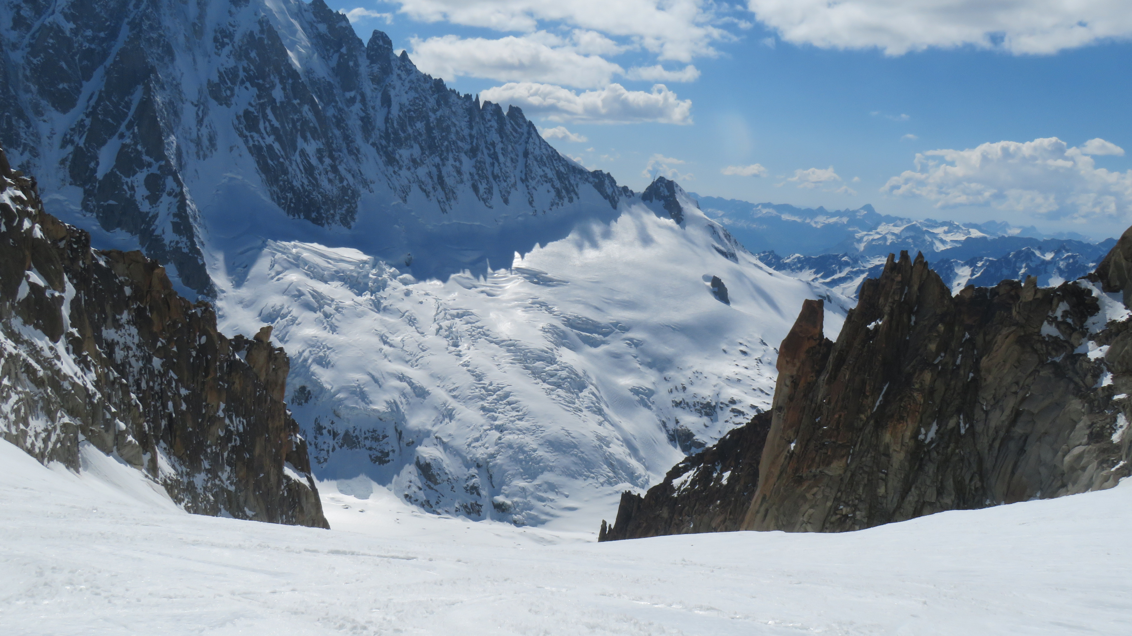
From the summit of Grands Montets (3233 m), descend on Rognons glacier by following the piste until the altitude of approximately 3100 m. Then leave the piste in the direction of the rocky rognon at spot elevation 3000 m on the map. Take the slope just to its right. Continue descending, primarily to the NE towards Point 2754 m (Moraine des Rognons). Traverse to the right (SE) for 200 meters to reach a slope (NE) which leads easily onto the Argentière glacier (2580 m). Go up Argentière glacier by first remaining on its true left bank (careful, the true right bank is often heavily crevassed and difficult in bad weather.) At about 2650m, traverse diagonally across the glacier, heading towards the refuge. You reach it on the left by avoiding the obvious moraine and its rocky base. (It takes 1h30)
Day 2 # Aiguille d’Argentière (390 0m) route, 8h to ascend and descend from the hut
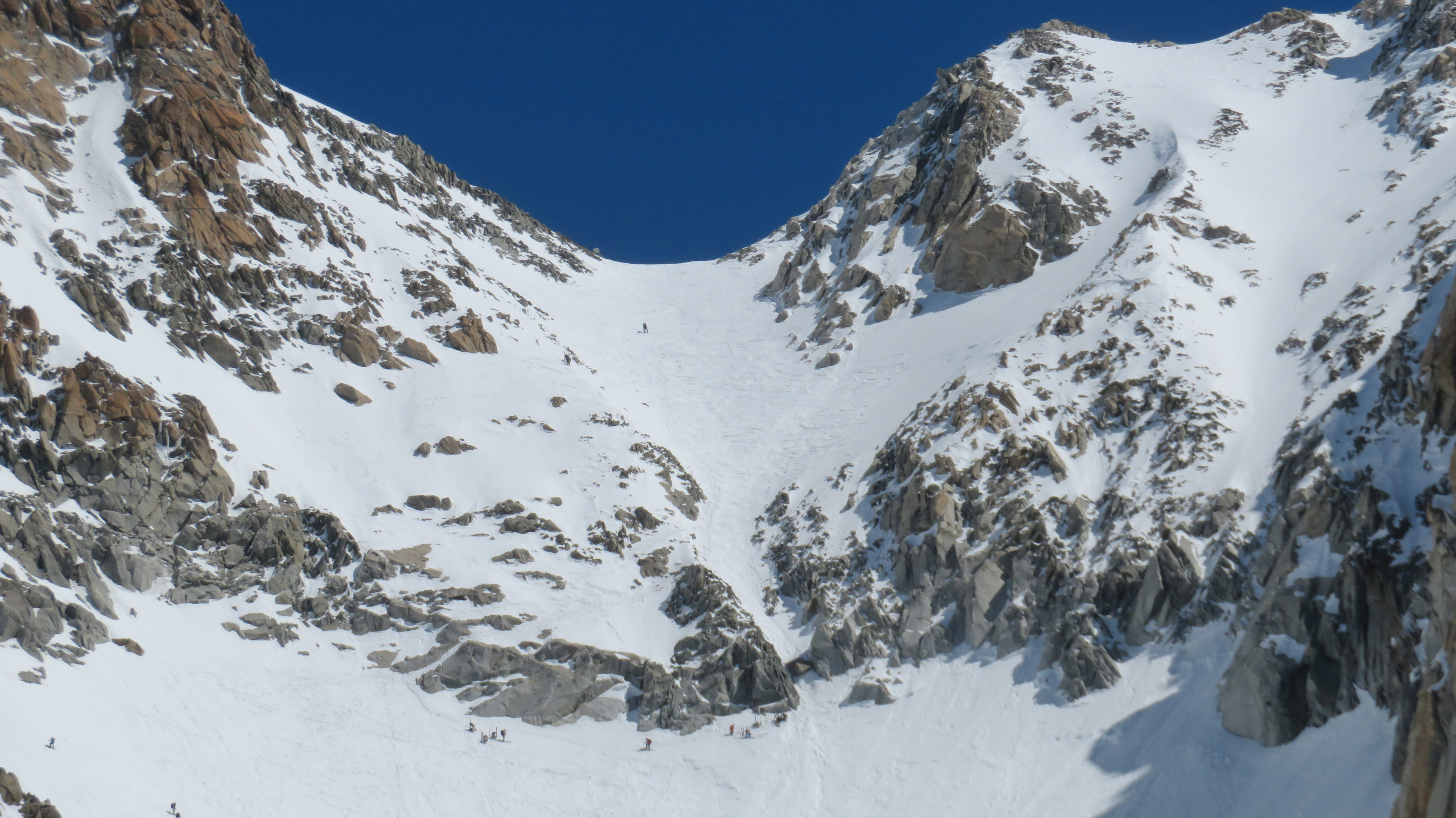
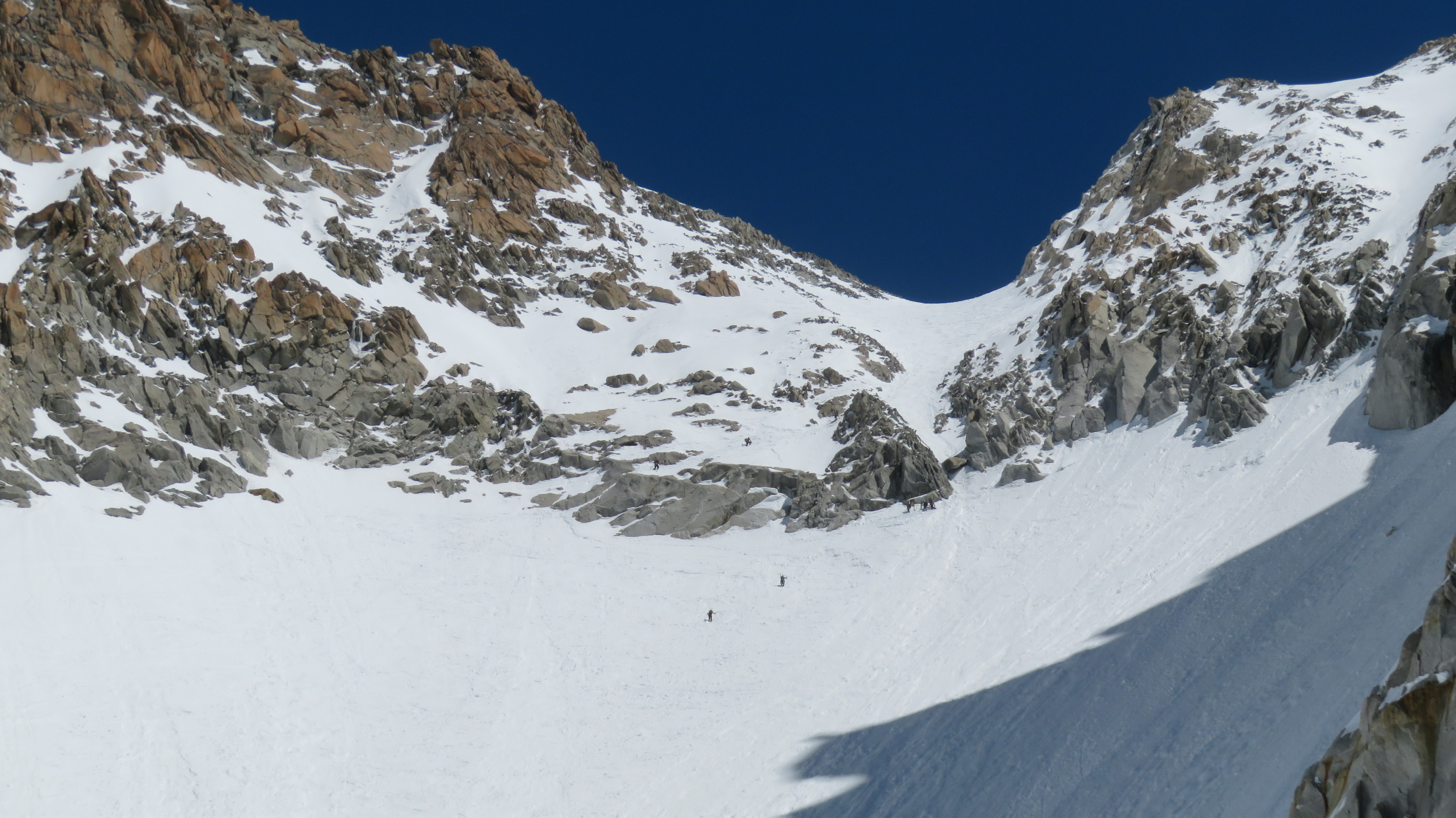
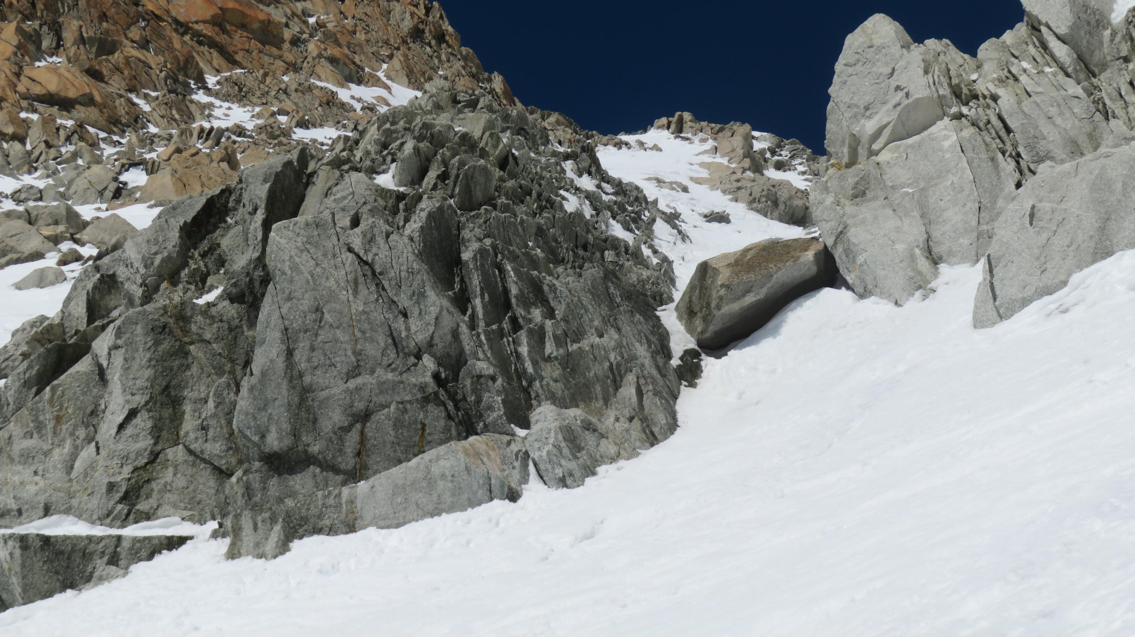
Climb directly diagonally (NW) towards the base of the Milieu, (depending on the snow cover, you might have to take off your skis) to reach the true right bank of the glacier (steep slopes -S3). Go up the Glacier while remaining on its right bank up to approximately 3350 m. Then traverse it to reach its true left bank under “Le Casque” then climb towards the bergschrund that is crossed primarily on the right bank of the glacier. The slope then becomes steeper (35 then 40° -skis on the bag) and steepens gradually until a gully where it becomes narrower (45° -rocks). The slope gradually eases, reaching the summit crest located between the western summit and the principal summit. Descend by the same route until Argentière glacier. Traverse it to reach its left bank and the ascent route. Follow this bank and pass under Moraine des Rognons. Around 2550 meters, a break in the glacier causes a more or less significant area of crevasses depending on the year. Remain on the extreme left side of the glacier to cross it. Follow the Glacier until around 2300 meters and leave it to reach Argentière ski area. You then reach Argentière via the ski lifts (Lognan intermediate station) or by the piste.

Download the Whympr App to view this route in 3D.
- Route search (100 000)
- Community returns
- Weather forecast
- Avalanche bulletin
- Race book
- Creation of tracks
- Topographic map (including IGN)