

Open this route in the app to prepare your next outing.
Length3574m
Min / max altitude1645m / 2491m
Main facingN
Route typeReturn the same way
Gear* Couteaux si la neige est dure...
Details
Ascent
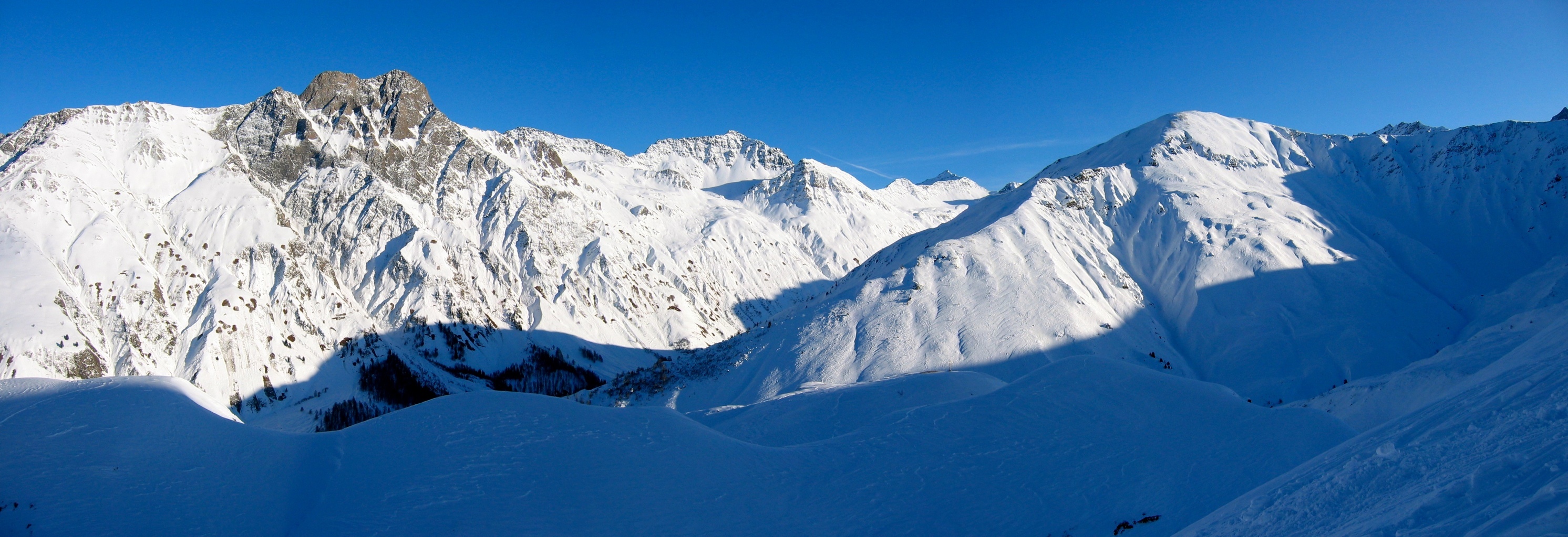
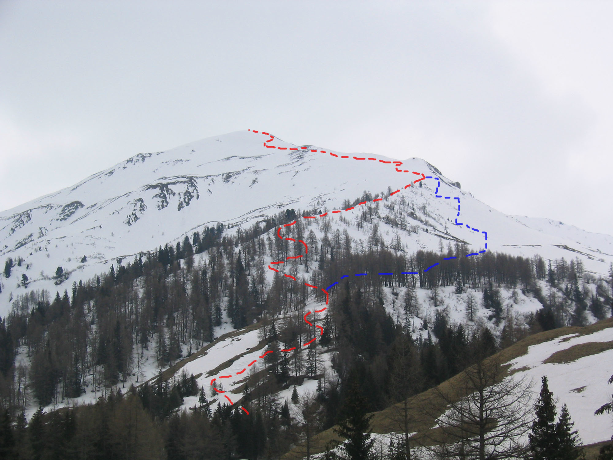
From Le Clou, cross the river and follow the ski du fond track, parallel to the road until level with the first houses at Ferret. Go up the clearing on the right to a tourist signpost showing footpaths. Traverse past some larches towards the “Pramplo” pastures to reach the “Cretté Létemaire”. Go up this ridge to a large boulder then trend leftwards to the summit. Be careful!, if there is an avalanche risk, windslab is likely beneath the summit. In which case follow the ridge to the summit.
Descent
By the same route.

Download the Whympr App to view this route in 3D.
- Route search (100 000)
- Community returns
- Weather forecast
- Avalanche bulletin
- Race book
- Creation of tracks
- Topographic map (including IGN)