

Open this route in the app to prepare your next outing.
Min / max altitude1160m / 1863m
Duration2 hours 48 minutes
Main facingSW
Route typeReturn the same way
Details
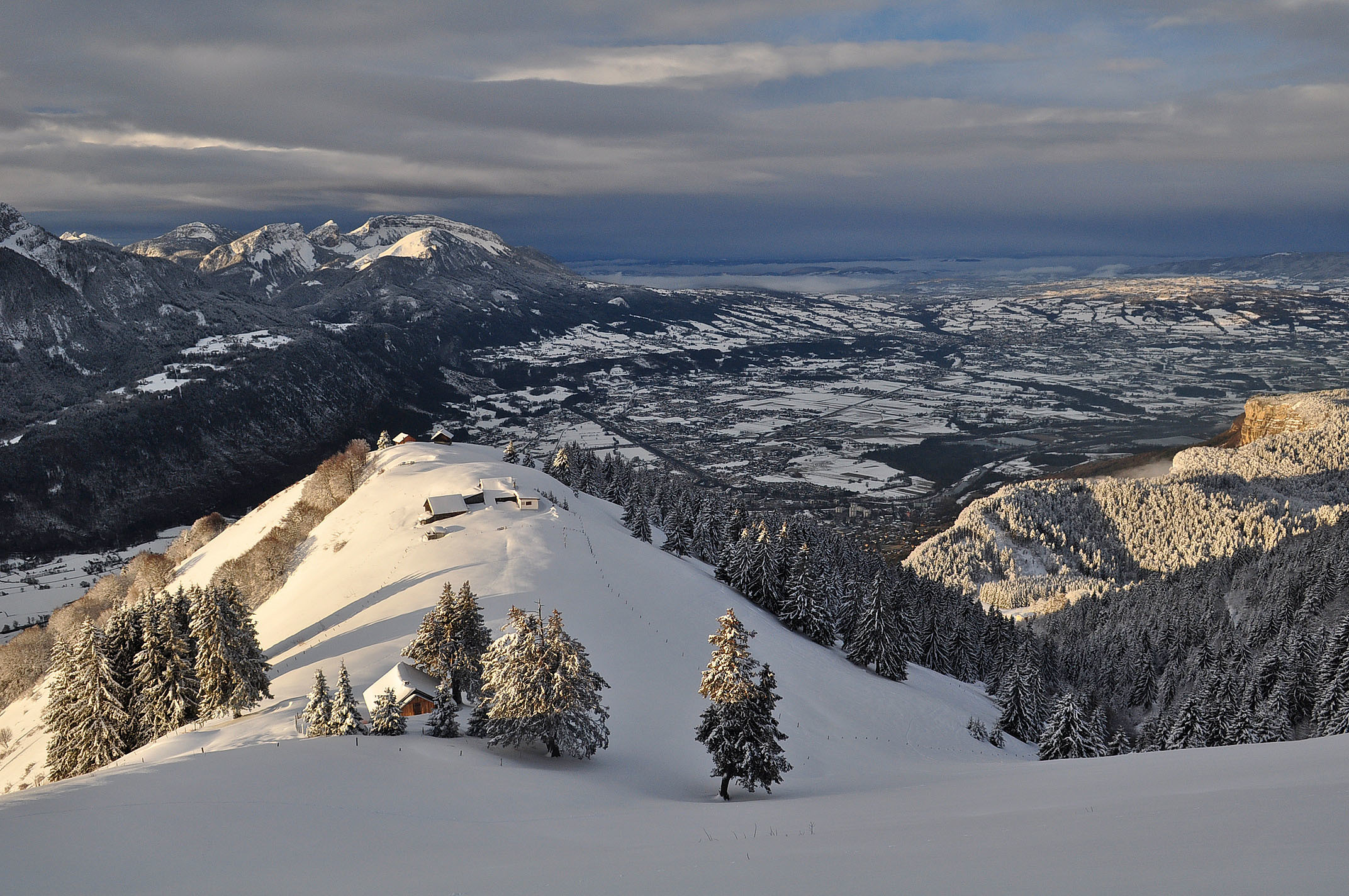
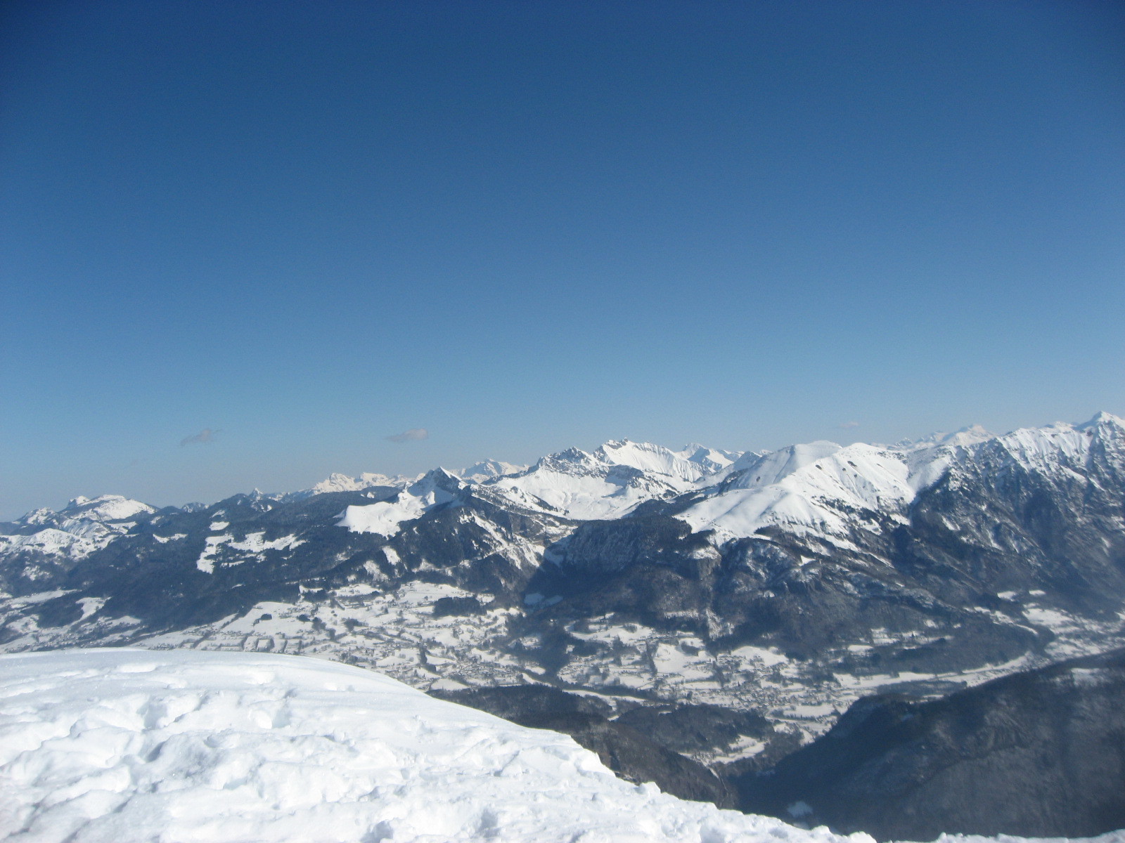
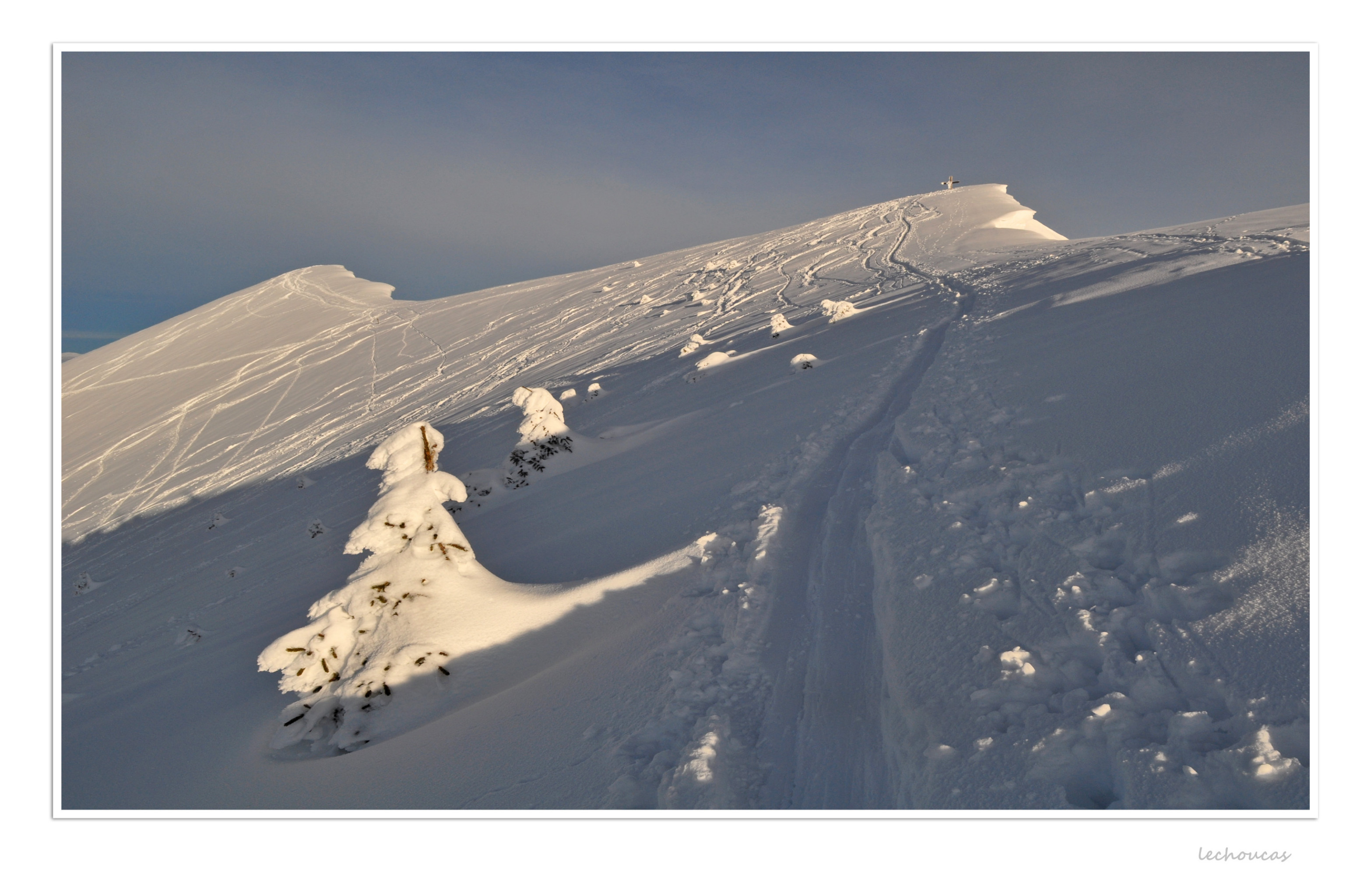
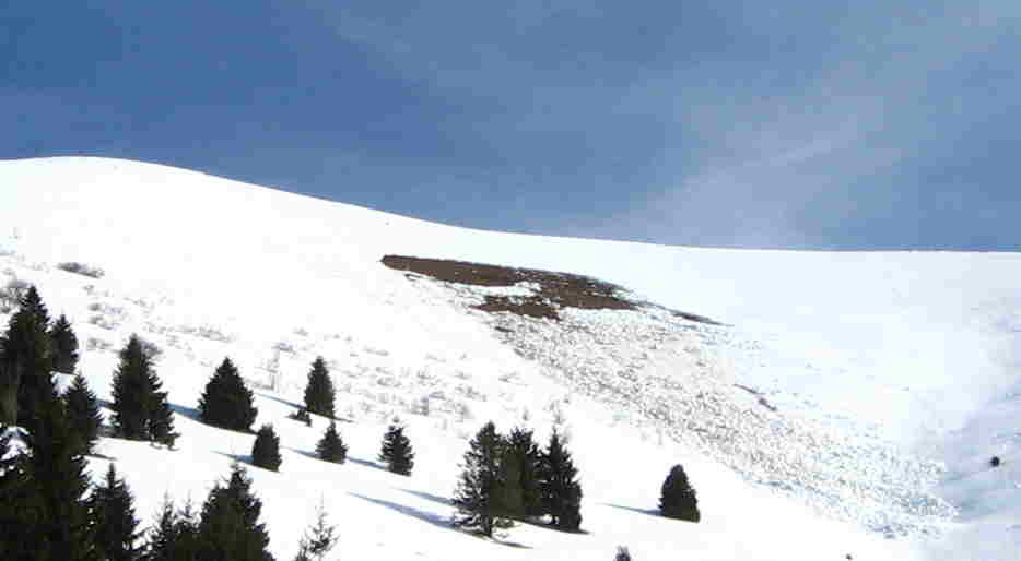
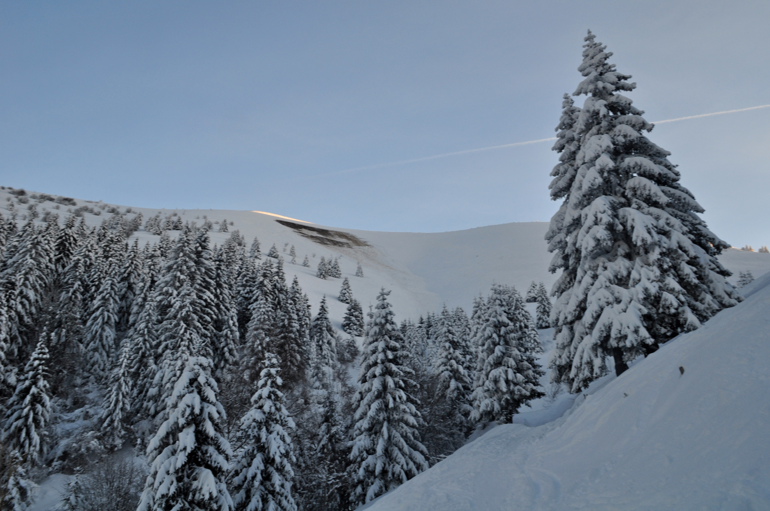
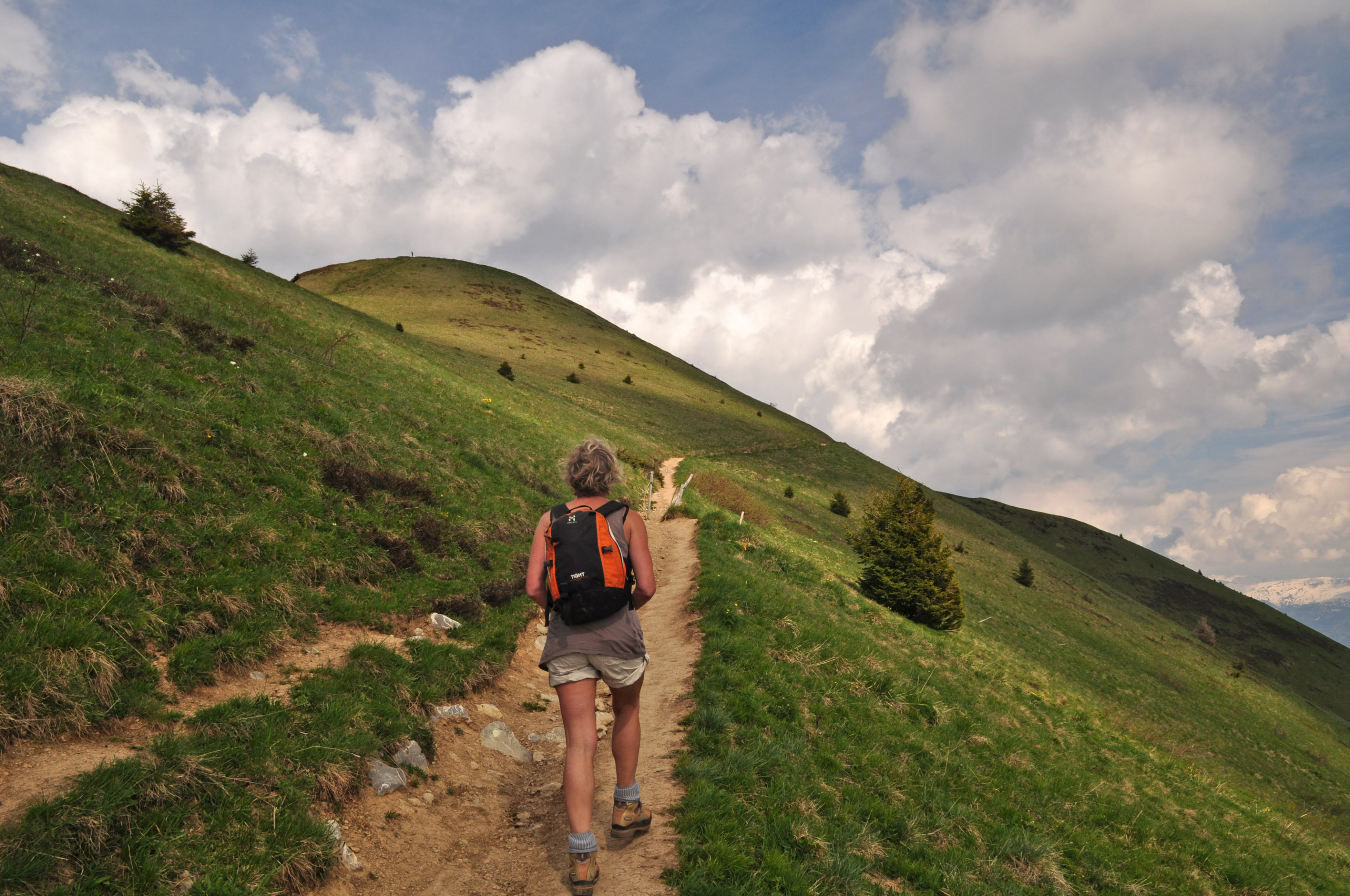
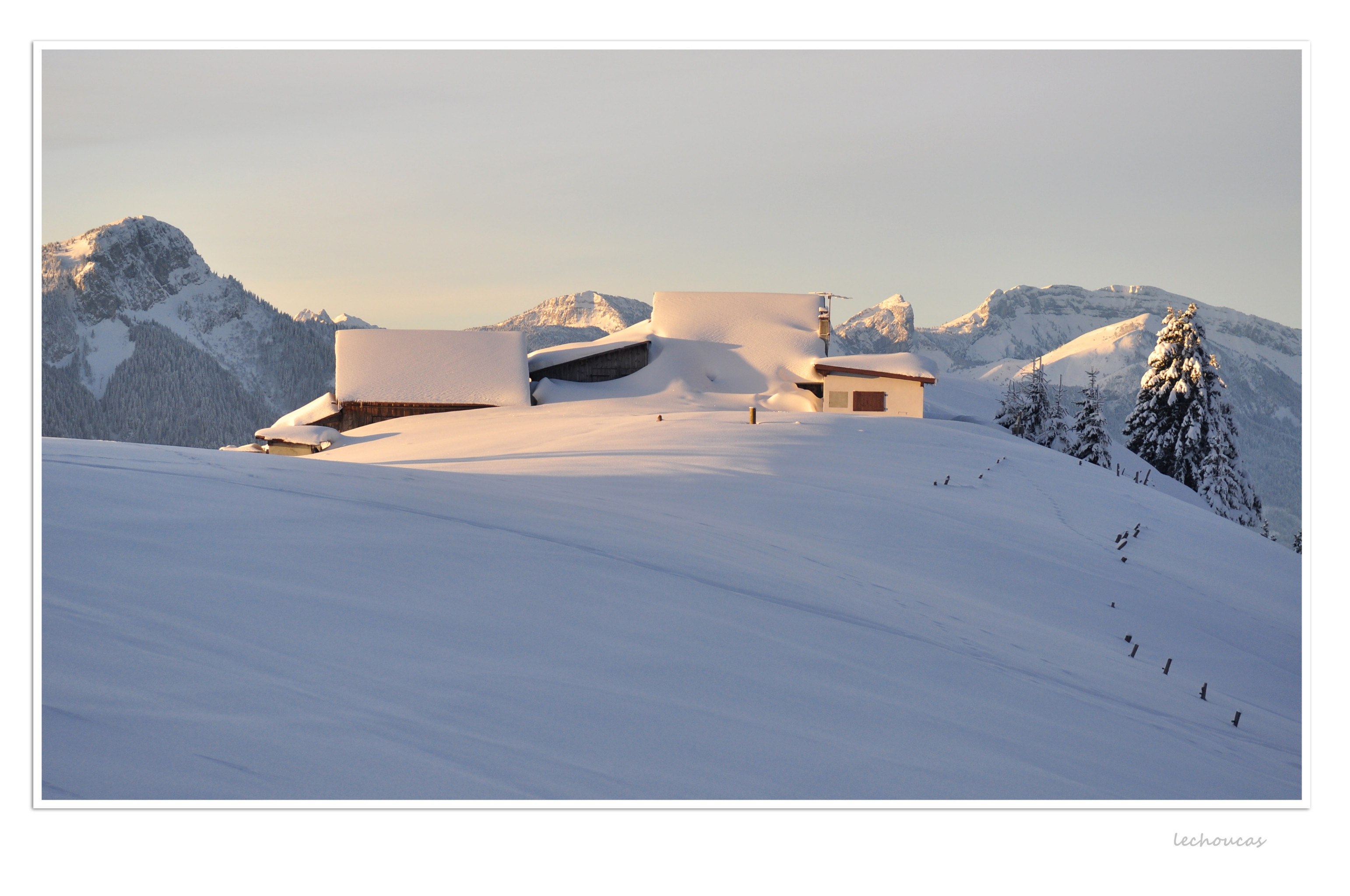
From Béroud (1160m -parking lot), take the forest road moving N before returning to the S then to the E, in a balcony above the valley of the Arve. Via some bends, you reach the Petit Môle and the La Lardère chalets (1534m). Pass a small depression and start the broad summit slopes of the Môle either via the left to the W (summer route), or by the croup on the right to the E which leads to the cross of the summit 1861m. To reach the principal summit (1863m), to traverse towards the E over 250m.
Descent by the same route. Be careful certain areas under the Petit Môle are in the process of reforestation, it is therefore necessary not to cross them on skis.

Download the Whympr App to view this route in 3D.
- Route search (100 000)
- Community returns
- Weather forecast
- Avalanche bulletin
- Race book
- Creation of tracks
- Topographic map (including IGN)