

Open this route in the app to prepare your next outing.
Details
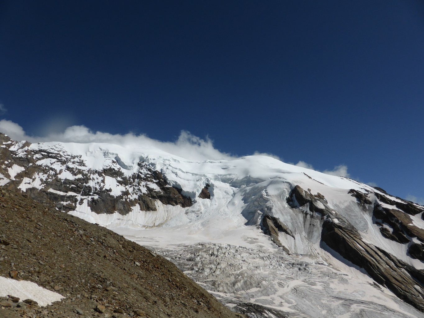
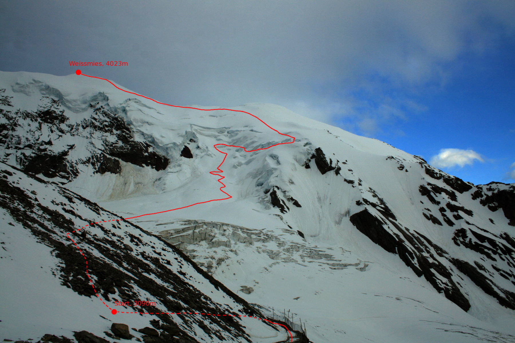
Route
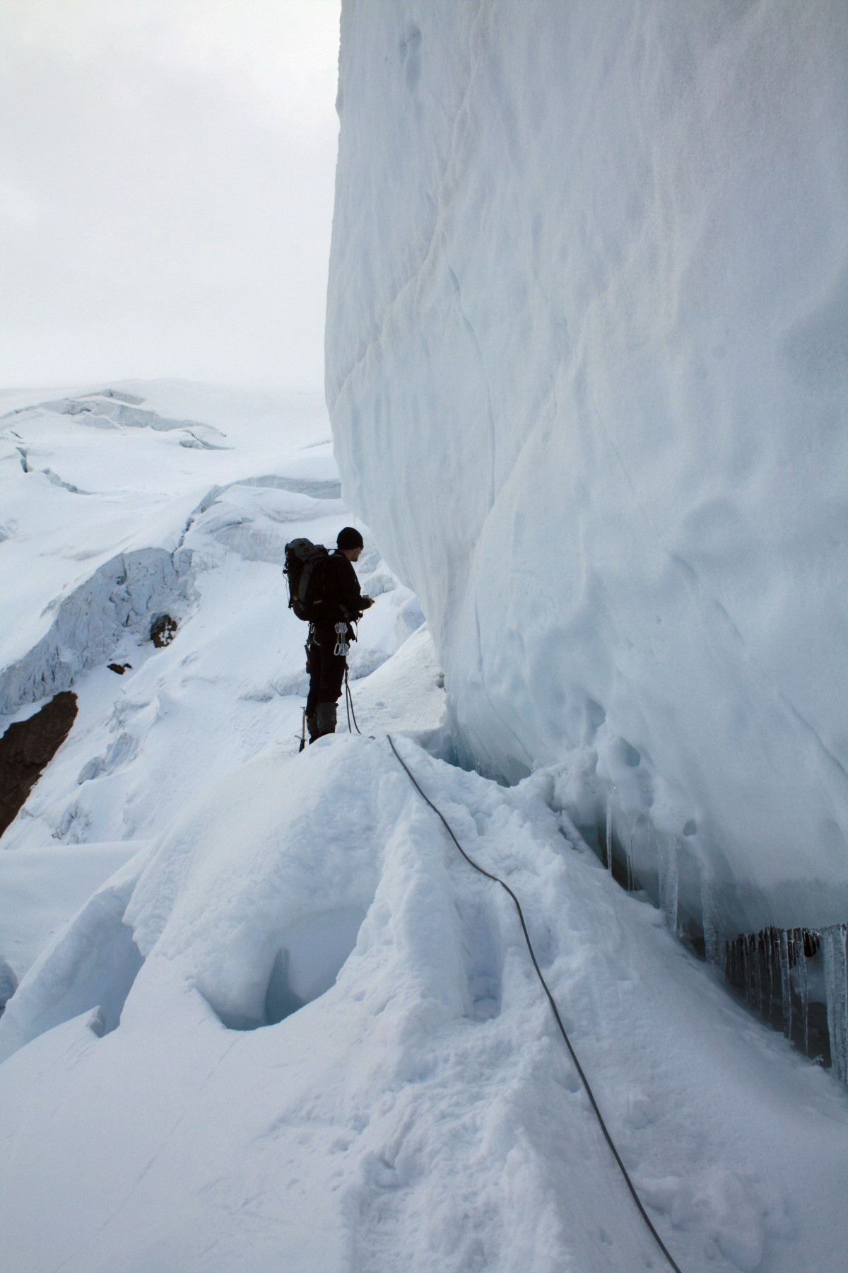
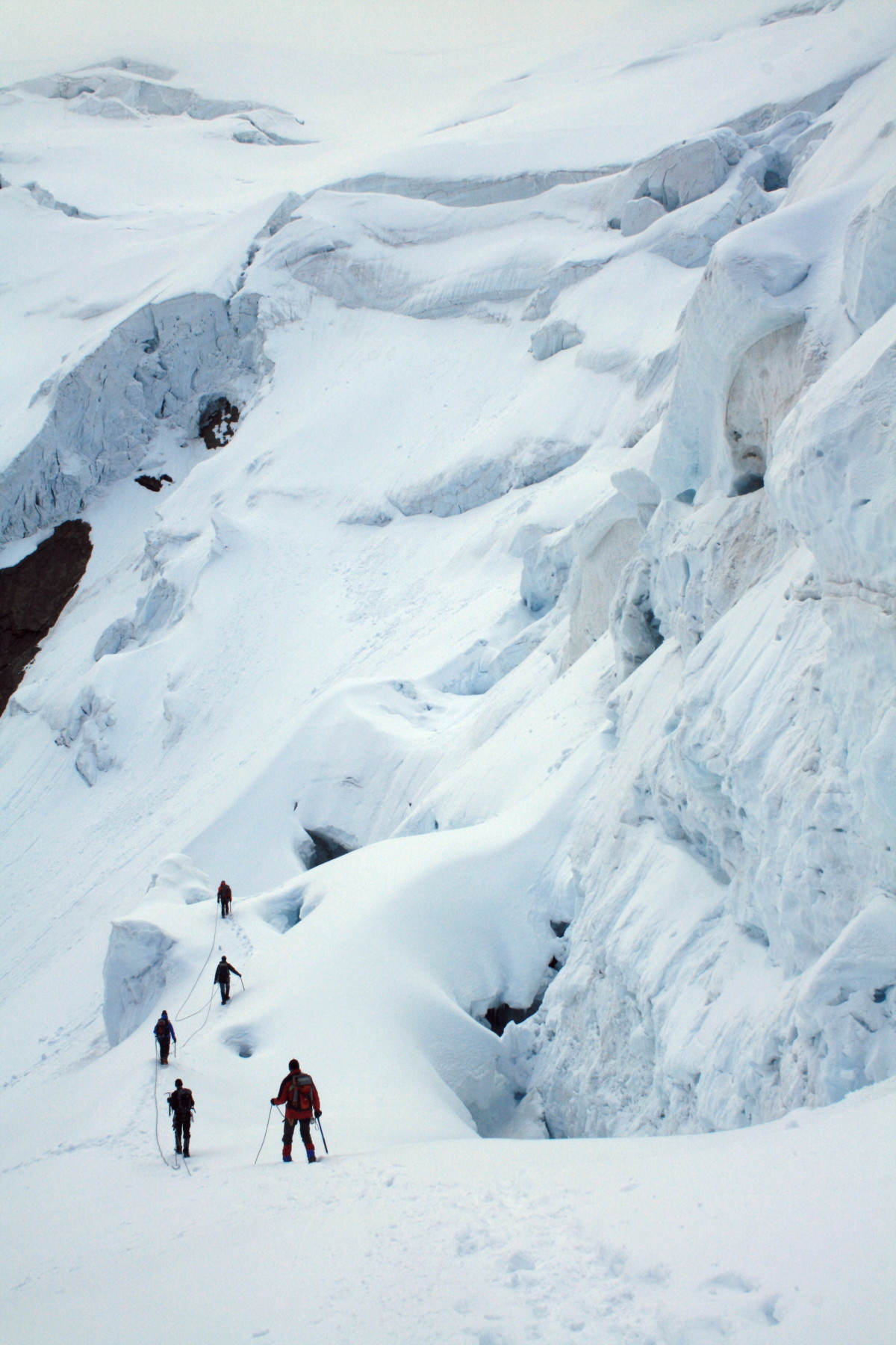
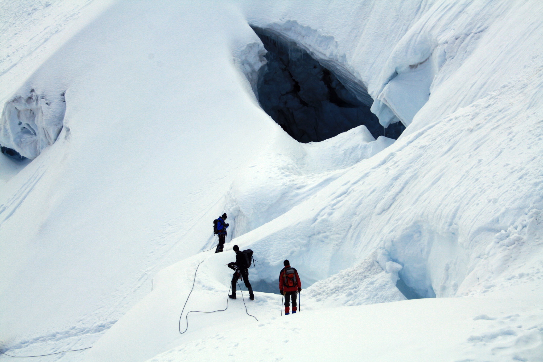
From the Hohsasshütte, go up for 50m besides the ski lift, then down the piste for about 100m. Go leftwards to a broad glacier plateau at about 3200m and traverse to the right to reach its true left bank. Go up through a labyrinth of seracs to reach the more friendly slopes above. Go up to the obvious col at about 3800m, between Pte 3815 and the summit. Go along the ridge, (cornice risk) for about 100m, to where you can leave your skis then easily up to the summit.
Descent
Either: by the ascent route Or; depending on conditions, it may be better to go to the left and descend a steep gully, (300m, 35 to 45°) clearly visible under Pte 3307m :When descending the NW shoulder under Pte 3813m, you can see the cliff on the side of the Malliga glacier which acts as a waymark. At the foot of the gully (3150m), at the level of a little flat area, go sharply to the right to pass along under a rock barrier and reach the glacier. This avoids the serac zone of the ascent.

Download the Whympr App to view this route in 3D.
- Route search (100 000)
- Community returns
- Weather forecast
- Avalanche bulletin
- Race book
- Creation of tracks
- Topographic map (including IGN)