

Open this route in the app to prepare your next outing.
Length2314m
Min / max altitude3454m / 4027m
Main facingN
Route typeReturn the same way
Glacier gear required
Lift approach
Snowboarding possible
GearPiccozza e ramponi utili se non si prosegue in vetta con gli sci. Rampanti necessari. Imbraco e corda per il ghiacciaio.
Details
Route
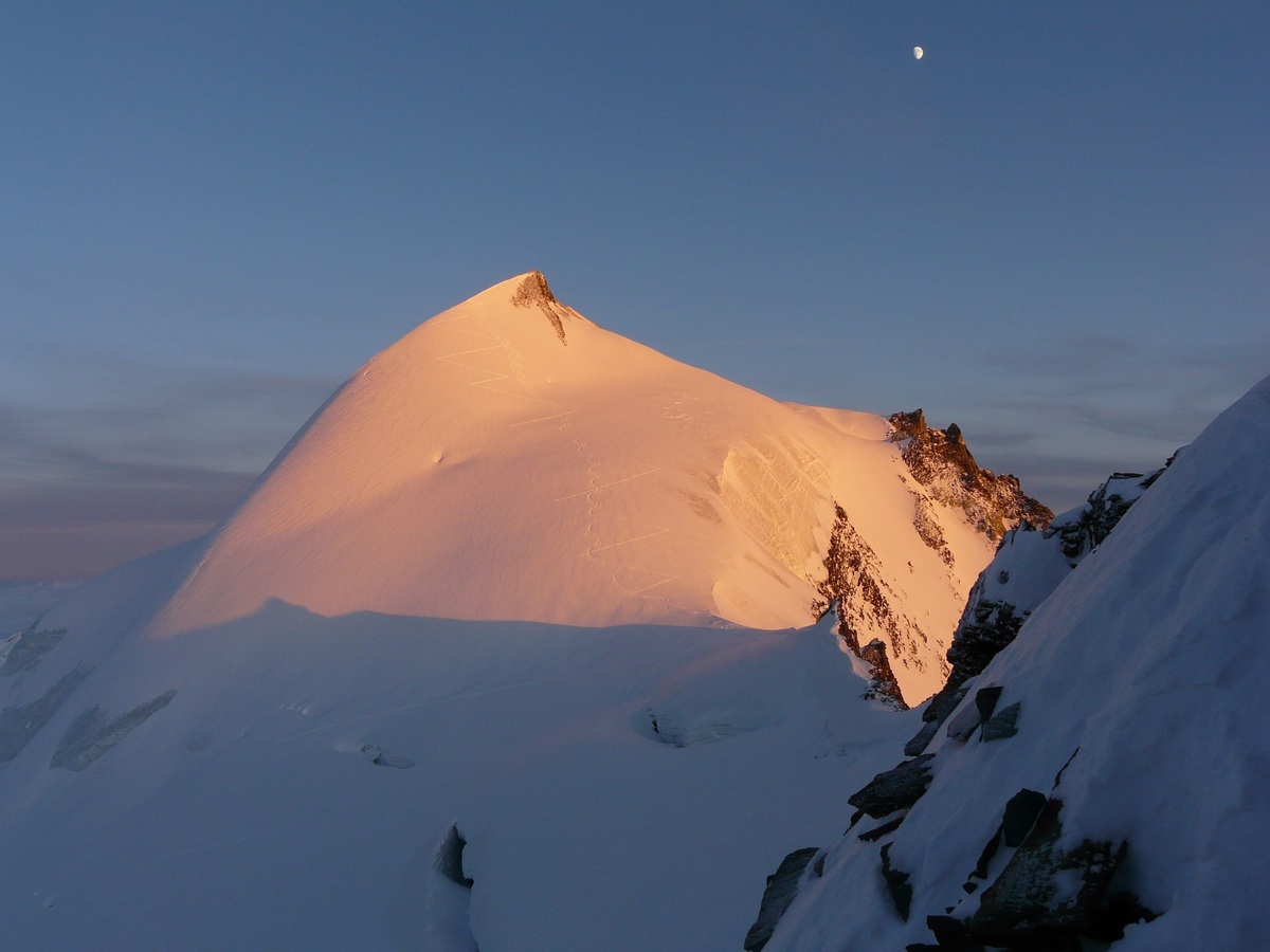
From the Mittelallalin, cross the ski pistes then go up diagonally under the N ridge, (cafeful seracs,) as high as possible to avoid the large crevasses under the col. The crevasses can also be avoided by passing under the Feekopf, (depends on conditions.) Once at the small col go up the snow slope on the left to the summit. Variant from the Britanmia hut: follow the track that traverses to the top of the Felskin cable car, then descend by the black ski piste to a chairlift at 2850m. Go up slightly to the right, by the ski pistes to join the route from the Mittelallalin. A height gain of 1100m for this variant.
Descent
By the same route.

Download the Whympr App to view this route in 3D.
- Route search (100 000)
- Community returns
- Weather forecast
- Avalanche bulletin
- Race book
- Creation of tracks
- Topographic map (including IGN)