

Open this route in the app to prepare your next outing.
Length4653m
Min / max altitude1204m / 2584m
Duration6 hours 4 minutes
Main facingE
Route typeReturn the same way
Details
Ascent
Starting from “Le Mas”, go up W to cross through woods and meadows. After about 1.5km, reach the Pierre Baudinard shelter near an obvious large rock. Continue westward and go around a small hill (1699m). You can go round the right or left, and enter into the small valley of Mas, between the ridges of La Clape and Samaroux.
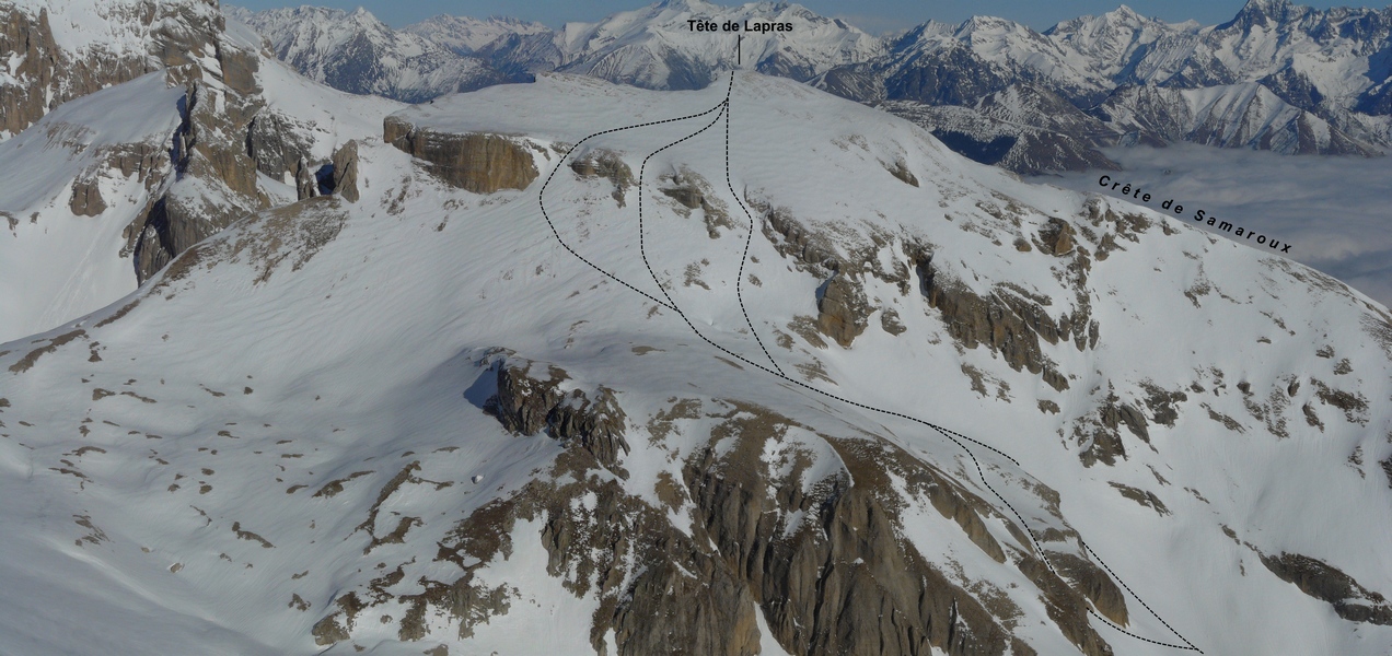
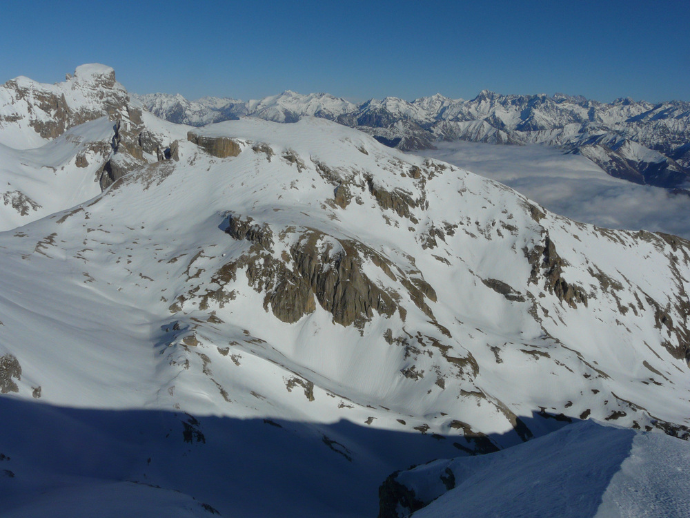
Continue up the valley at the bottom of Samaroux ridge until you reach a smooth slope (at 2178m), in front of a rock bastion. Overcome it either:
- on the left by a short steep couloir,
- on the right by smoother and wider slopes,
Reach a very wide flat section (2379m) and climb a short steep couloir (there are two other possible couloirs on the left) to get over a rock barrier and to reach smoother slopes up to the summit.
Descent
Ski down the ascent route.

Download the Whympr App to view this route in 3D.
- Route search (100 000)
- Community returns
- Weather forecast
- Avalanche bulletin
- Race book
- Creation of tracks
- Topographic map (including IGN)