

Open this route in the app to prepare your next outing.
Length5884m
Min / max altitude1927m / 2951m
Main facingSE
Route typeReturn the same way
Details
Ascent
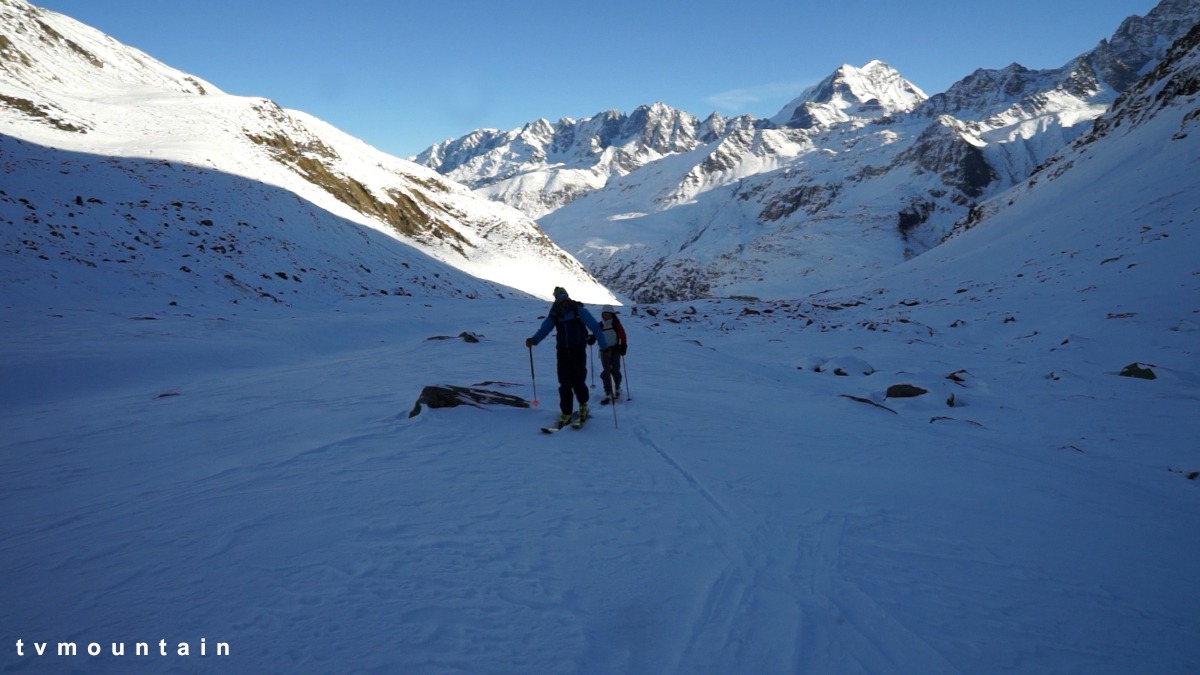
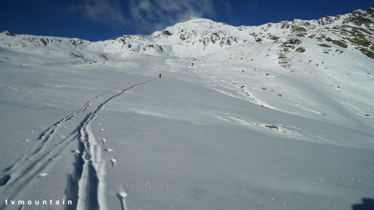
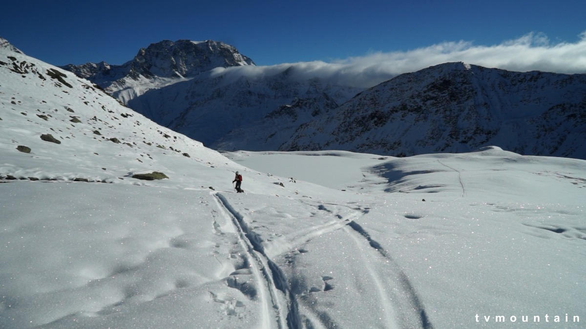
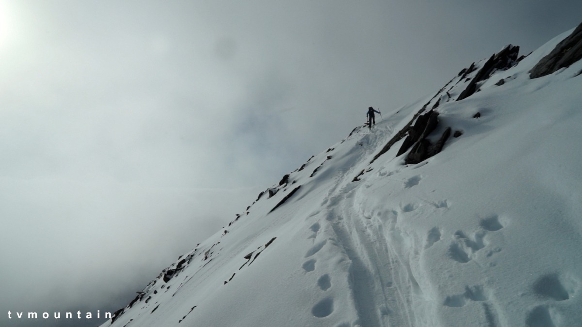
From the parking follow the road towards the hospice for 300m then go off obliquely to the right at a place marked Maringo on the map. Cross the river “Dranse d’Entremont” and go up the slope leading into the Combe de Drône. Follow this for 300m then go diagonally to the right up some slopes to a flat area, (lakes). Cross this to reach the snow bowl at the foot of the final slopes. Once in the bowl, go up towards the summit by a large arc to the left. Leave the skis a few dozen metres before the summit, finishing on foot.
Descent
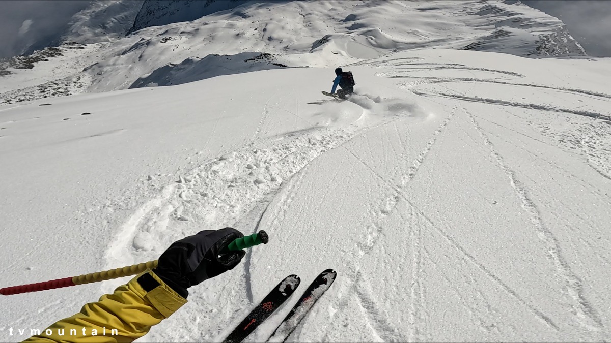
Basically the same as the same way. However, it is recommended to traverse leftwards initially for 200m before going down, unless the conditions are excellent.

Download the Whympr App to view this route in 3D.
- Route search (100 000)
- Community returns
- Weather forecast
- Avalanche bulletin
- Race book
- Creation of tracks
- Topographic map (including IGN)