

Open this route in the app to prepare your next outing.
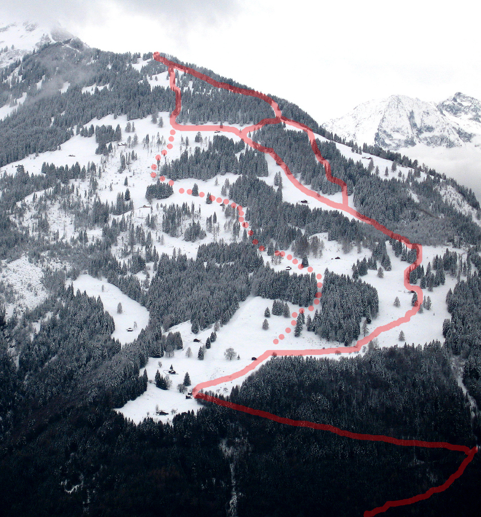
Length8704m
Min / max altitude900m / 1840m
Main facingN
Route typeReturn the same way
Snowboarding possible
Details
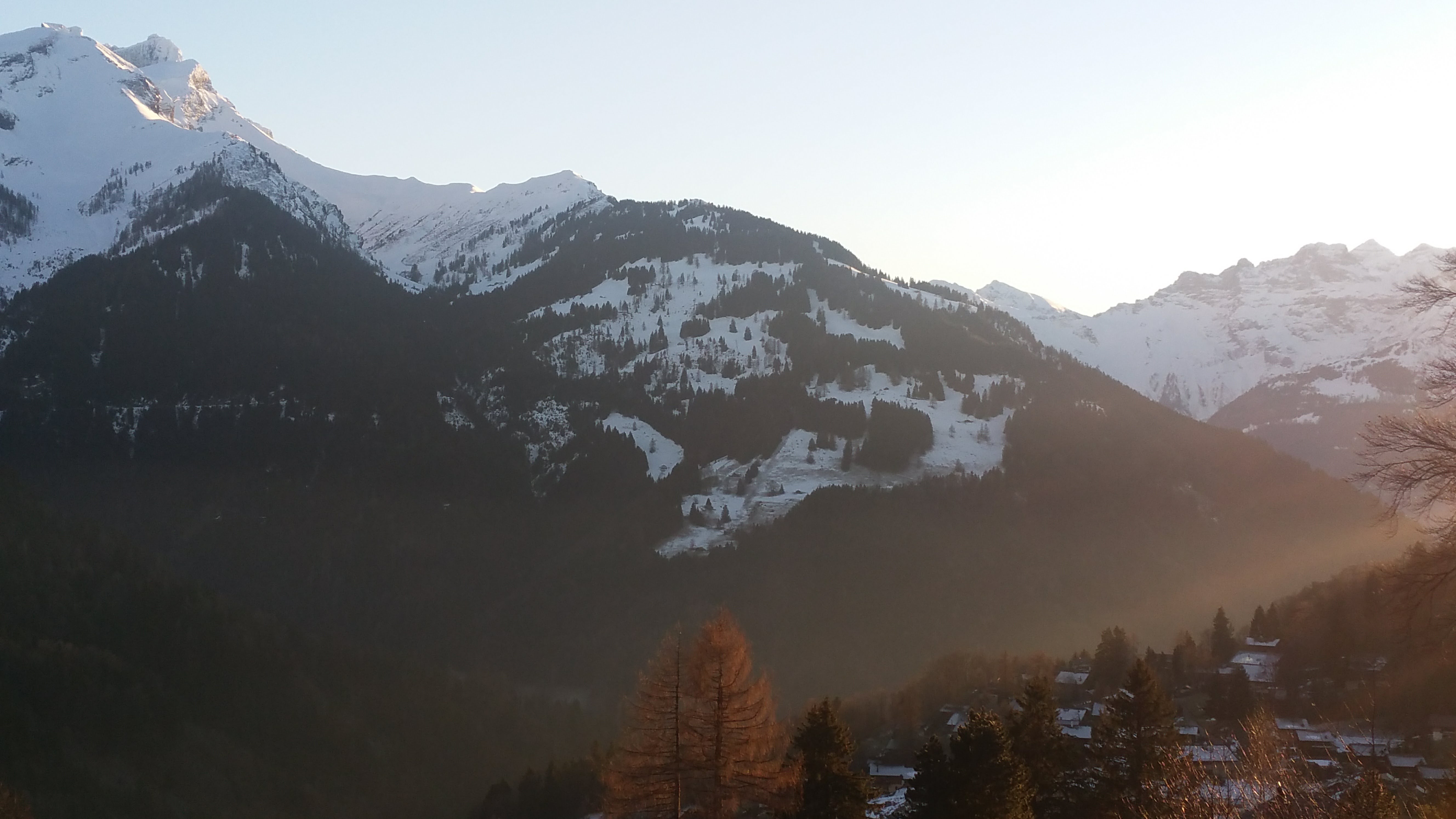
Scenic path, full of alps huts.
Ascent : From Leoutre (carpark), take the forest road up to the end, or shorten up in the forest by the pedest path. From the alp hut in the end of the road (Colatel), go up through pastures and glades, to the south, until summit.
You can follow the crest until Croix de Javerne, but it is not better downskiing!

Download the Whympr App to view this route in 3D.
- Route search (100 000)
- Community returns
- Weather forecast
- Avalanche bulletin
- Race book
- Creation of tracks
- Topographic map (including IGN)