

Open this route in the app to prepare your next outing.
Details
Climb
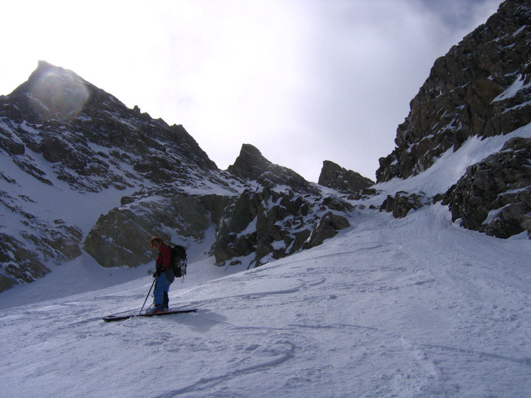
From the Maljasset refuge, traverse the Ubaye (point 1902m) then follow the cross-country ski tracks which lead to the opening of Vallon de Mary. Traverse the torrent (bridge) and continue in the field until a second small dale (road). Go up this road which ends on a flat area (point 2045m). Then go up the Vallon de Mary by skirting this side until the higher Bergeries de Mary (2380m -abri open). Go back to the left bank of the dale and traverse under the Marinet rocks in the direction of the spillway of the Lacs du Marinet (at the foot of Aiguille Large). Pass Lac du Marinet (point 2563m) then to go up the moraines which follow then the Glacier du Marinet until the bergschrund (around 2950m). The corridor makes a “Y”, the notch can be done by traversing the left branch but the right branch climbs slightly higher. Generally climb the corridor on foot, in good snow it is possible to climb it on skis.
Descent
By the same route
Variant for the return
Once you reach Lacs du Marinet, you can go up on the left to the Col de l’Aiguille Large (30min). Descend the hanging dale which leads to the foot of the Aiguille Pierre André. Pass under the pinnacle and go up 30m to reach Col de Miéjour. Descent on the Barge via Vallon de Miéjour (often in powder) then the larch forest.
- You top out at the Neyrot-Vernet Notch. You can continue towards the summit of the Aiguille de Chambeyron by following the ridge (150 metres of HD), difficult rock climbing UK-3a /US-5.3.
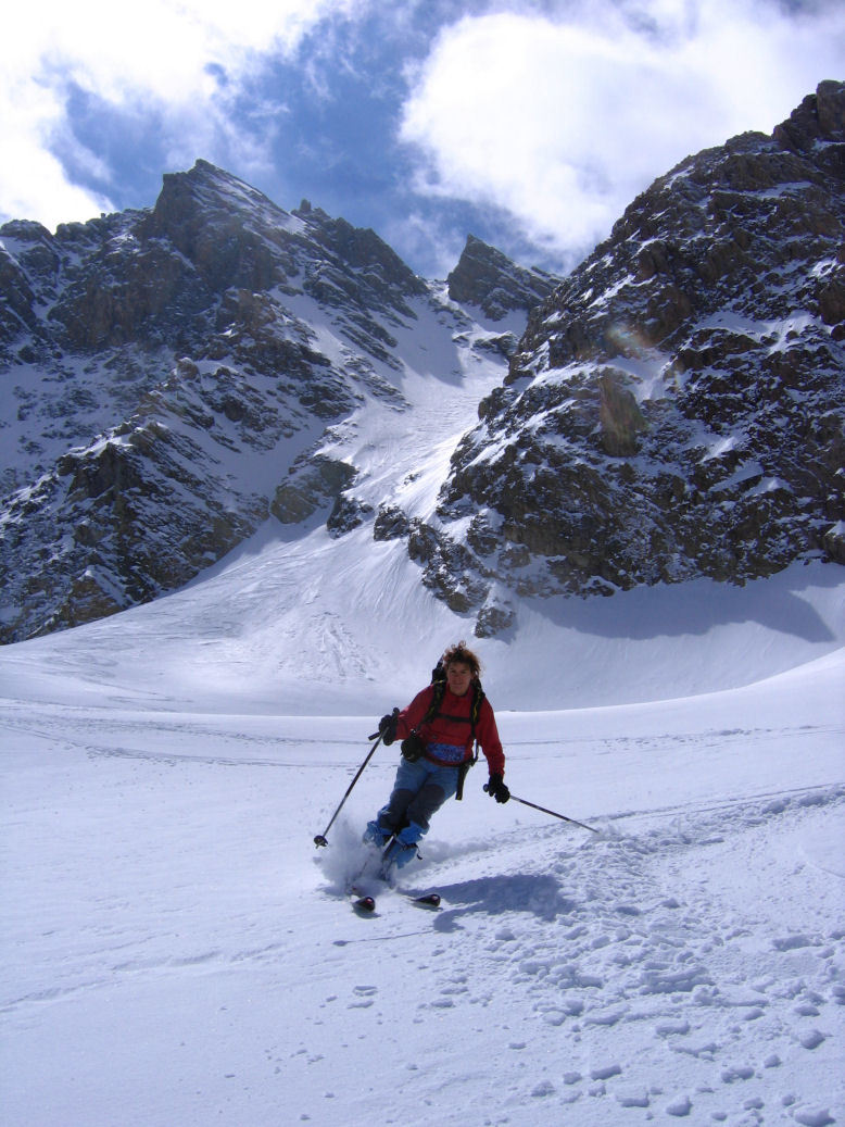
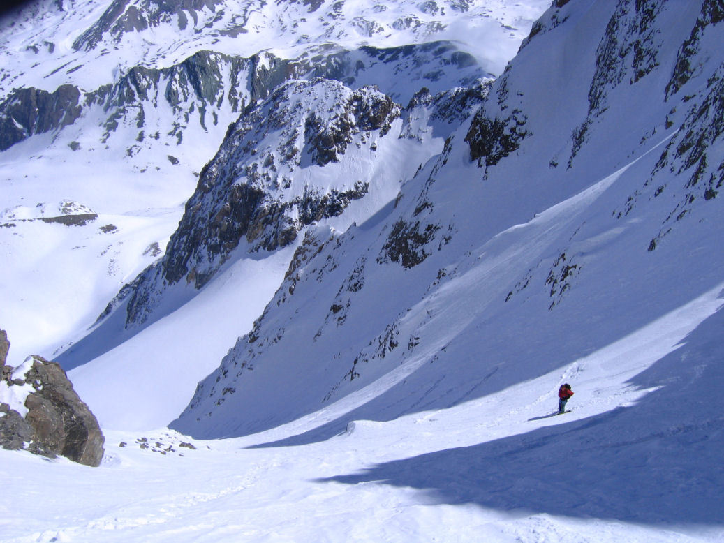
- 300m at 40°. It is a beautiful 400m corridor on the N slope never exceeding 40° (except 5-10m 45° to top out).
- Often in powder.

Download the Whympr App to view this route in 3D.
- Route search (100 000)
- Community returns
- Weather forecast
- Avalanche bulletin
- Race book
- Creation of tracks
- Topographic map (including IGN)