

Open this route in the app to prepare your next outing.
Details
Approach
Park where the road ends, (in winter) and a ski piste begins above La Fouly, at Le Clou, (also known as Les Granges.)
Route
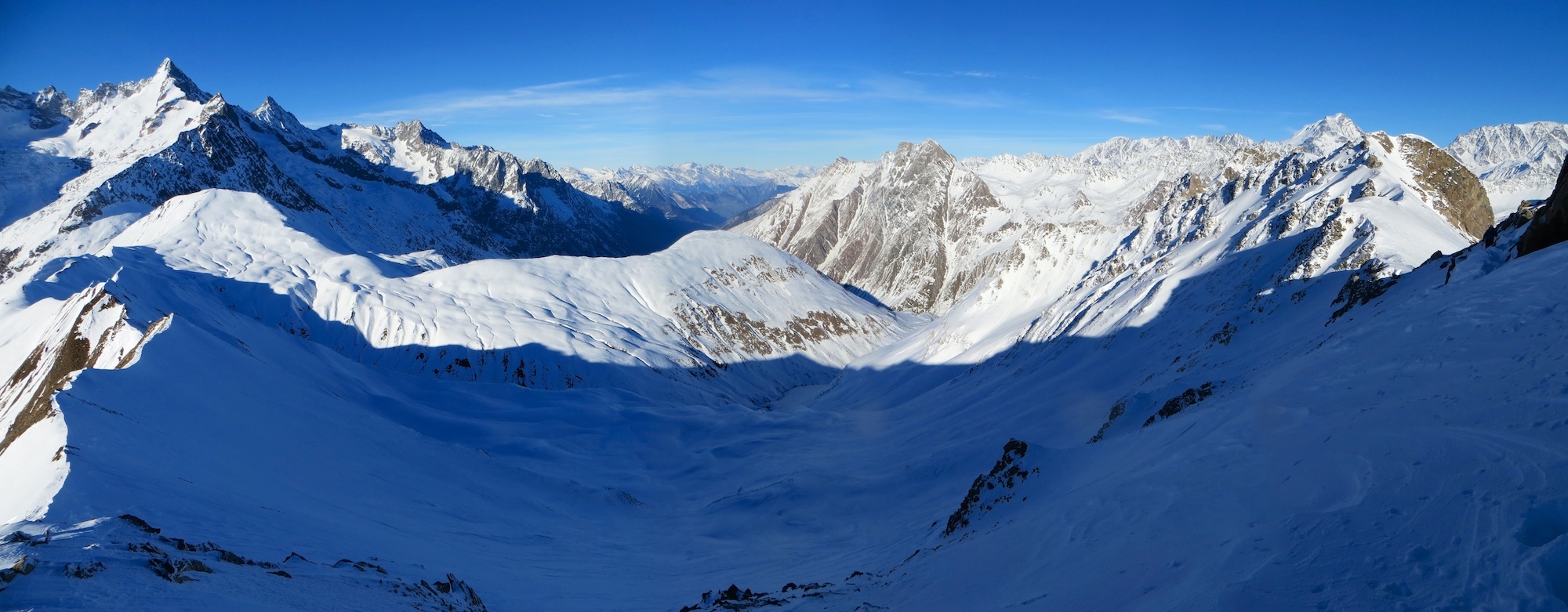
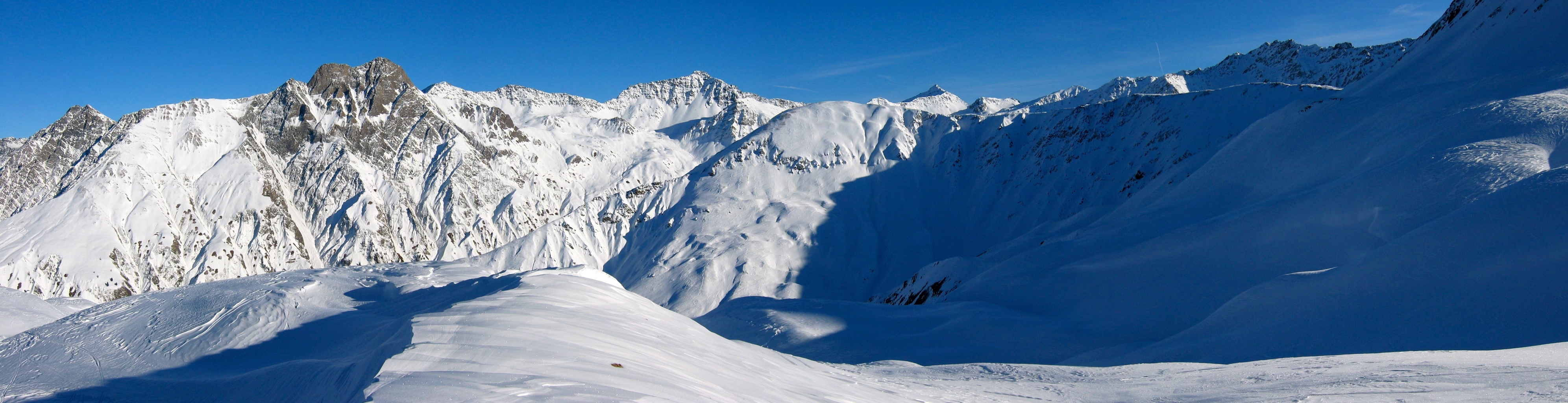
From Le Clou, cross the river and follow the ski du fond track, parallel to the road until level with the first houses at Ferret. Go up the clearing on the right to a tourist signpost showing footpaths. Traverse past some larches towards the “Pramplo” pastures to reach the “Cretté Létemaire”. Go up this ridge to a large boulder then trend leftwards to the summit. Be careful!, if there is an avalanche risk, windslab is likely beneath the summit. In which case follow the ridge to the summit.
From the Dotse one can go W to the Tête de Ferret by the Planfins ridge (obvious).
Descent
By the same route if you only go as far as the Dotse. From the summit of the Tête de Ferret, go down the N face, then easy angled slopes towards the “Crette de la Perche”. Go diagonally rightwards to the “Creux de la Gouille” and regain the valley via the Léchère chalets. (Alternatively, you can go down the “Combe des Fonds” to la Fouly.)

Download the Whympr App to view this route in 3D.
- Route search (100 000)
- Community returns
- Weather forecast
- Avalanche bulletin
- Race book
- Creation of tracks
- Topographic map (including IGN)