

Open this route in the app to prepare your next outing.
Min / max altitude1374m / 2045m
Main facingS
Details
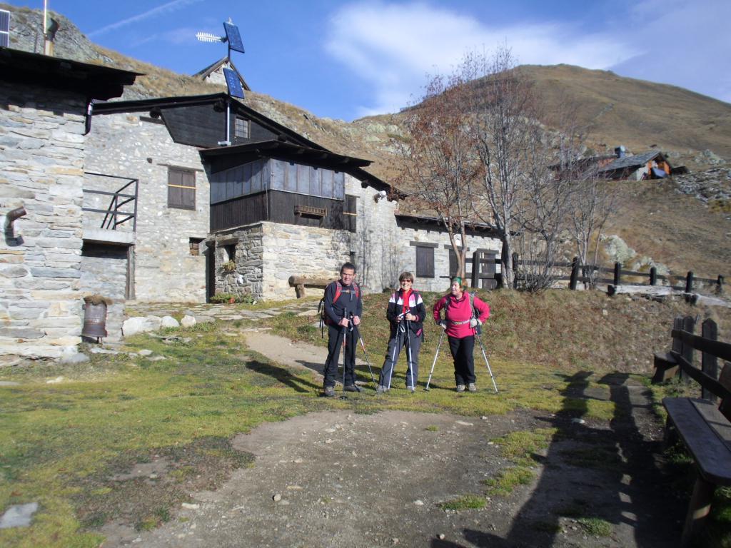
Lasciata la vettura al parcheggino sul torrente,si segue la segnaletica del sentiero n.42 fino al rifugio e,successivamente al Praz de la Saxe.

Download the Whympr App to view this route in 3D.
- Route search (100 000)
- Community returns
- Weather forecast
- Avalanche bulletin
- Race book
- Creation of tracks
- Topographic map (including IGN)