

Open this route in the app to prepare your next outing.
Duration1 day
Main facingSW
Route typeReturn the same way
Gear* cuerda 2×50 m
Source
Details
Acceso
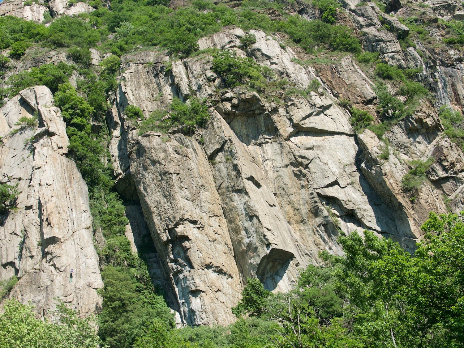
Parking disponible al lado del parking reservado a los clientes del restaurante Arcaden. Seguir la carretera que sube 1-2min y coger el sendero que lleva al pie del acantilado. (No cortar por los terrenos privados.) Seguir la base del acantilado casi hasta el final y notar el inicio de la vía anotada en una plaqueta negra.
Vía
L# | 6b | | Diedro y fisura, algo atlético L# | 6a | | Tambien mantenido en diedro
Descenso
En 2 rápeles

The text and images in this page are available
under a Creative Commons CC-by-sa licence.

Download the Whympr App to view this route in 3D.
- Route search (100 000)
- Community returns
- Weather forecast
- Avalanche bulletin
- Race book
- Creation of tracks
- Topographic map (including IGN)