

Open this route in the app to prepare your next outing.
Chaltwasserpass / Bocchetta d'Aurona - Alpe Veglia to Simplon Pass

Details
General description
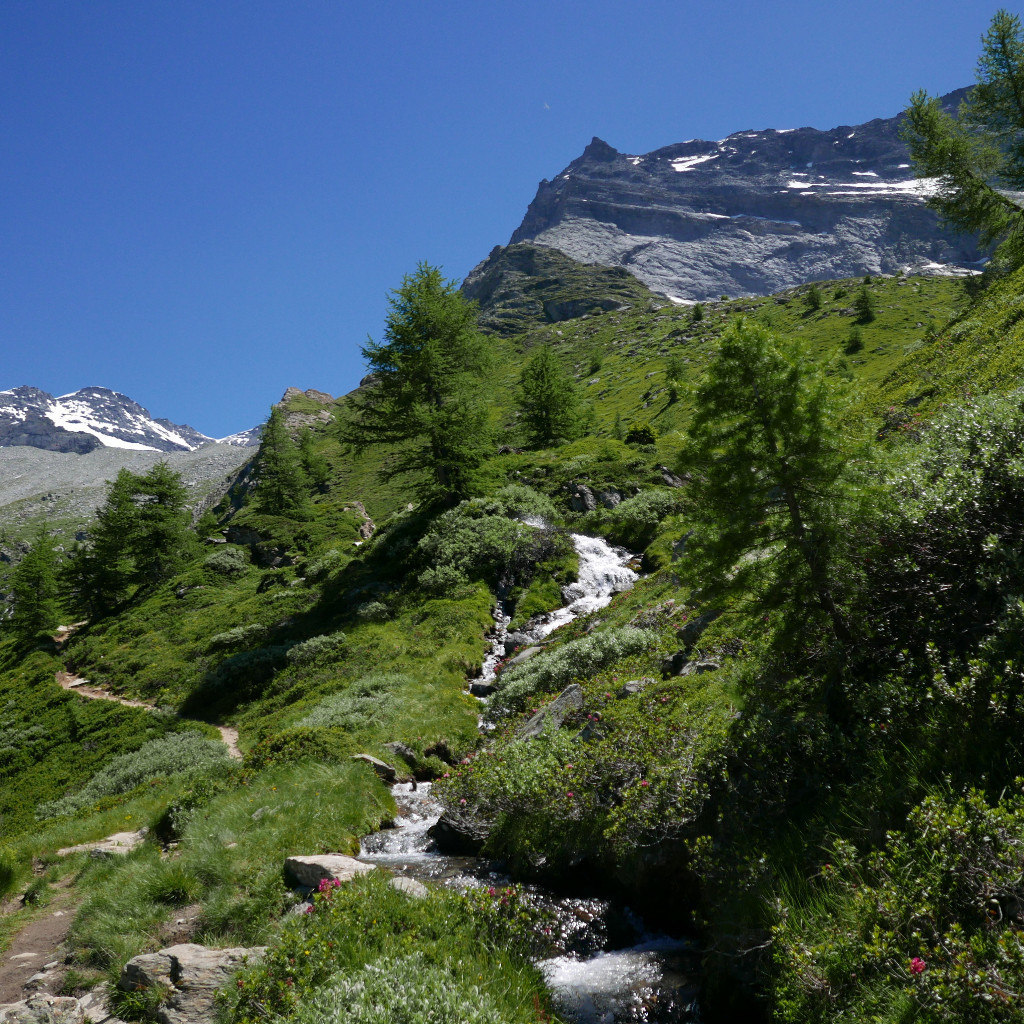
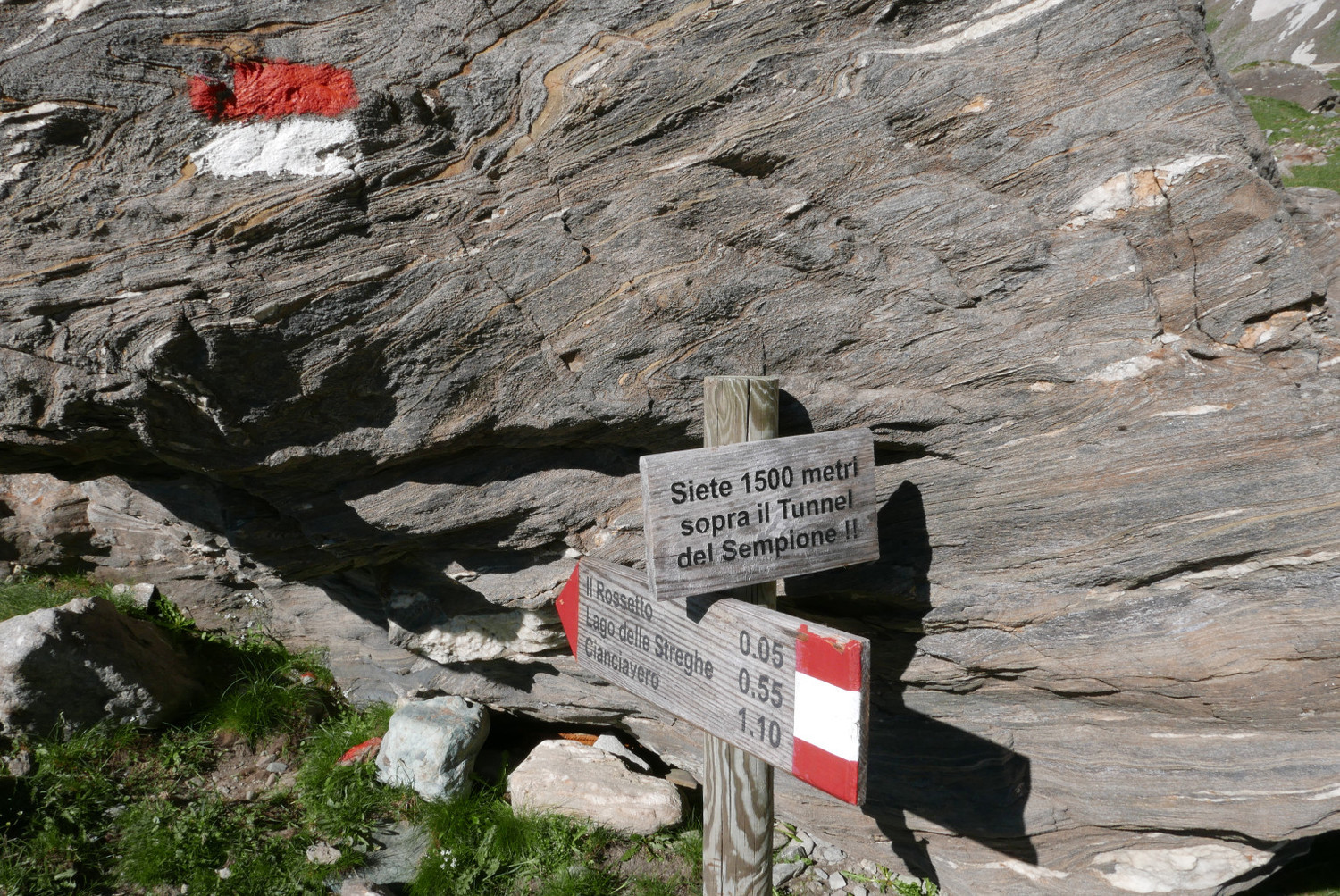
Alpe Veglia (hotels) - Rossetto (1h30; branching to the Furggubäumlicke / Forca d’Aurona) - point at the vertical of the Simplon tunnel (0h15) - start of glacier (0h15) - glacier firn (0h40) - rock gully (0h20) - Farello bivouac - Chaltwasserpass / Bocchetta d’Aurona - Chaltwassersee - Chaltwassertäli - Chalte Wasser - Simplon Hospiz (2h; Post Auto stop) // Total time: 5h
Pass description
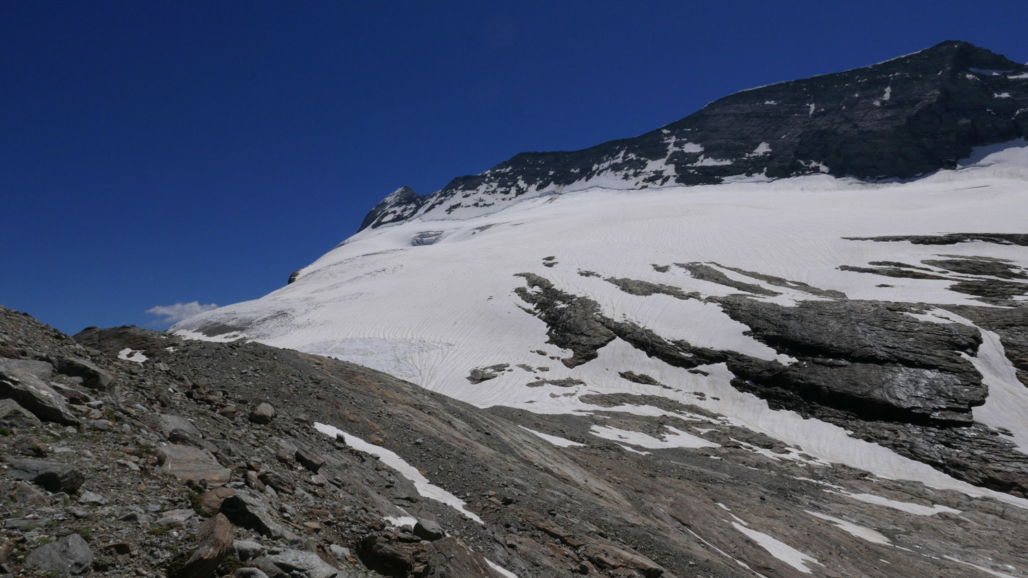
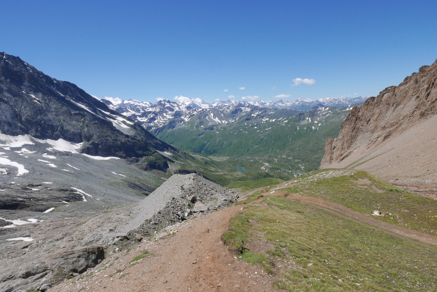
The red-white route markings end a the start of the Aurona glacier. From here climb over firn on the right hand side of the valley to a rocky outcrop. Cross a bergschrund between a small waterfall and the wall of the Wasenhorn / Punta Terrrarosa. Now keep level until you see at the vertical a red-white marking on the rocks above you. Walk there over the steep firn. Next to the marking you’ll find chains and metal steps, which lead towards the left to a gully. More chains and metal steps will bring you through the gully, at the pass. Turn right below a small peak to arrive just below the Farello bivouac. Stepping East on a rocky balcony you will see the valley at your feet from where you came.
Orientation difficulty
Summer route
When traveling from Simplon to Alpe Veglia you need to find the red Farello bivouac in order to locate next to it the gully entry. From South the bivouac is hidden by a small peak, but it is visible from the Northern edge of the pass.
From Alpe Veglia to Simplon the route over the glacier and through the gully is not obvious. The Aurona glacier is currently flanked by steep rock faces and divided by two horizontal rock outcrops. It is important not to cross the second horizontal rock range, but to locate the red-white marking at its left hand extremity, where the trail to the gully starts.
Winter route
A winter route is farther left from the summer gully route when looking up the glacier. See 25 March 2013, Traversée Simplon » Realp - J2 : Monte Leone Hütte » Alpe Dèvero

The text and images in this page are available
under a Creative Commons CC-by-sa licence.

Download the Whympr App to view this route in 3D.
- Route search (100 000)
- Community returns
- Weather forecast
- Avalanche bulletin
- Race book
- Creation of tracks
- Topographic map (including IGN)