

Open this route in the app to prepare your next outing.

Details
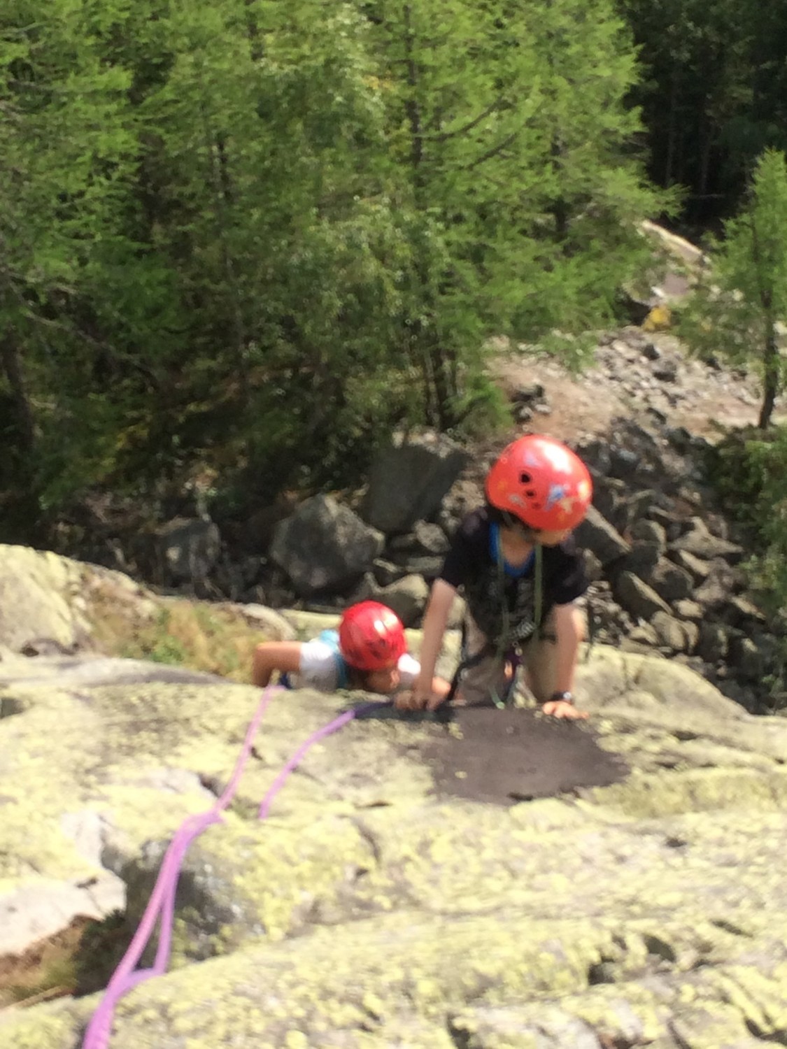
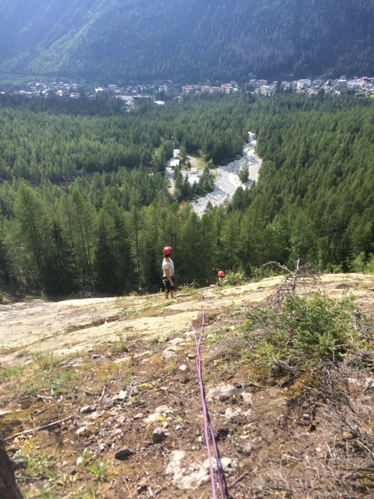
A pleasant Via Corda , mostly up slabs.
Access
Get to the Cremerie restaurant, next to the helicopter station.
Approach 20mins
Follow the path directly in front of the Cremerie restaurant to the bridge crossing the river, circa 100m. Follow a faint path on the true right bank of the river, (left looking upwards), some cairns and orange paint marks to the foot of some slabs, (cairn and ski stick?). The first orange painted bolt is plainly visible. Ignore a second line of bolts over on the left. GPS N 45º58’41.4” E006º56’29.5”
Route 2h30
Follow the bolts interspersed with some walking, (orange paint marks and cairns) over a series of slabby outcrops. Near the top there is a line of cairns to the left or one can go straight up, (no bolt) to follow a ridge line (walking) to two obvious round boulders. Either way, it is necessary to traverse, (walking) leftwards and slightly downwards until a little muddy ramp leads up diagonally to a small tree and the start of some more slab climbing. The route end at an obvious flat summit, where until recently the old EDF cable car had its middle pylon, (still marked on any map prior to 2015) They have done a very good job of cleaning up the site.
Descent 30mins
A faint path with cairns and orange paint marks leads downwards and then traverse to the right, (looking down) to join within 10mins a proper path (which eventually leads up to a viewpoint). Go down this path, taking the left options to the reach the main tracks (used for Nordic skiing in winter). These lead back to the bridge and so to the Cremerie Restaurant.
Ideal for kids, beginners, OAPs etc.
Nearly all the belay points have 2 bolts linked with a bit of rope. Many of the pitches are short so there are probably about 12-15 pitches but only 7-9 “rope lengths.”

The text and images in this page are available
under a Creative Commons CC-by-sa licence.

Download the Whympr App to view this route in 3D.
- Route search (100 000)
- Community returns
- Weather forecast
- Avalanche bulletin
- Race book
- Creation of tracks
- Topographic map (including IGN)