

Open this route in the app to prepare your next outing.
Length14000m
Min / max altitude180m / 950m
Main facingW
Route type
Source
Details
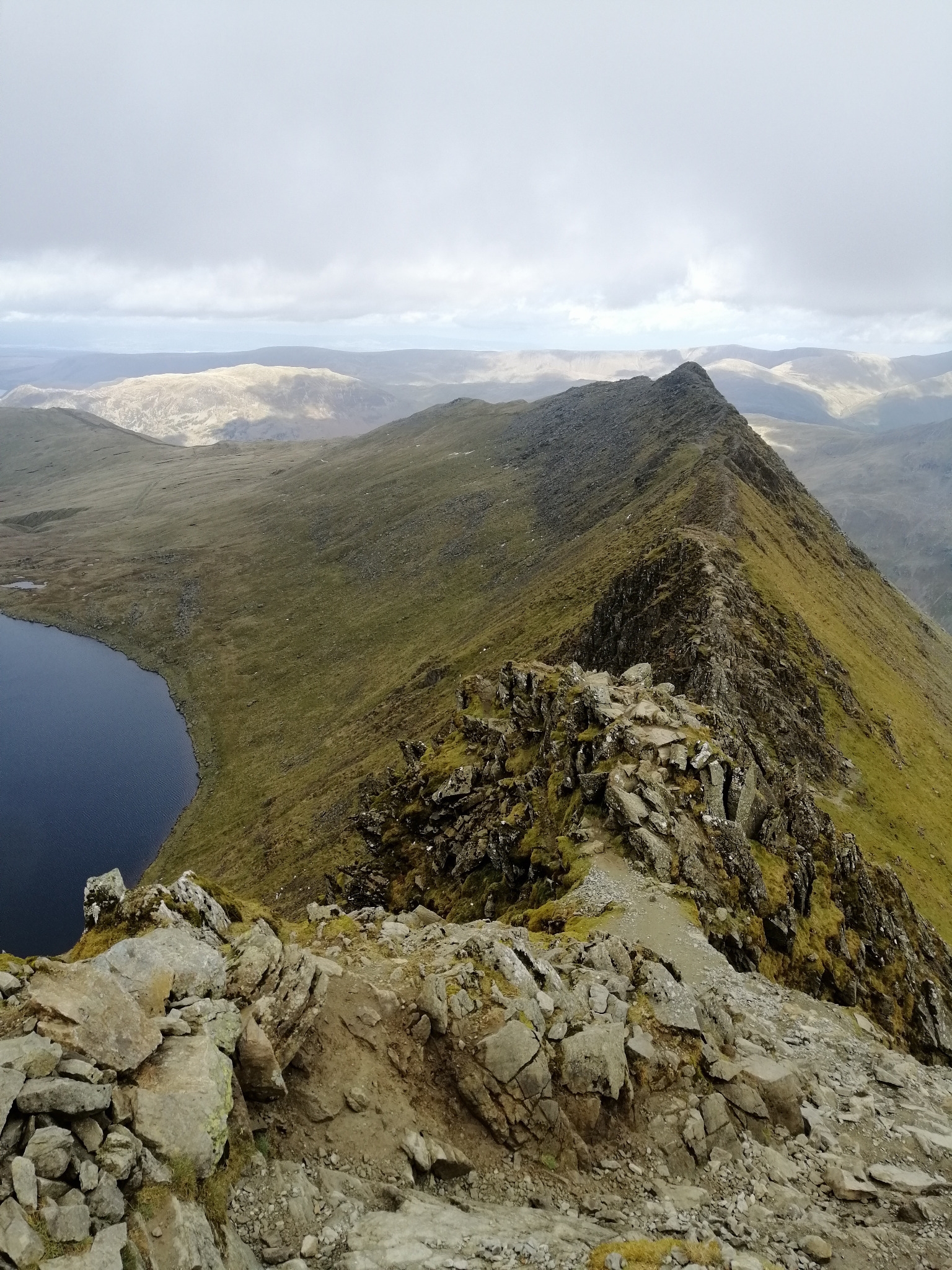
Du village de Glenridding, prendre le chemin qui longe le torrent remontant vers Birkhouse Moor. Suivre alors la crête de Striding Edge jusqu’au sommet de l’Helvellyn. Continuer le tour de crête au-dessus du lac en rejoignant Catstycam. Rentrer alors par le chemin suivant le fond du vallon.

The text and images in this page are available
under a Creative Commons CC-by-sa licence.

Download the Whympr App to view this route in 3D.
- Route search (100 000)
- Community returns
- Weather forecast
- Avalanche bulletin
- Race book
- Creation of tracks
- Topographic map (including IGN)