

Open this route in the app to prepare your next outing.
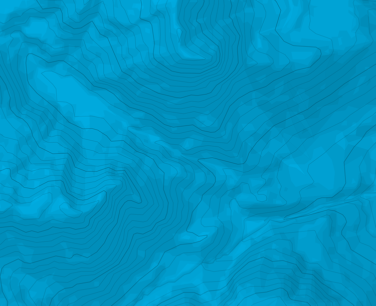
Length9910m
Min / max altitude2270m / 3156m
Duration6 hours 46 minutes
Route typeReturn the same way
Source
Details
Pas de difficulté particulière. Itinéraire non balisé, il faut être attentif au chemin.

The text and images in this page are available
under a Creative Commons CC-by-sa licence.

Download the Whympr App to view this route in 3D.
- Route search (100 000)
- Community returns
- Weather forecast
- Avalanche bulletin
- Race book
- Creation of tracks
- Topographic map (including IGN)