

Open this route in the app to prepare your next outing.

Details
Approach # 20min
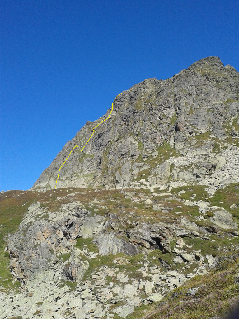
From the Tré la Tête refuge, initially follow the path to the Conscrits hut. Leave this to the N (several possible faint paths) and climb the grassy mound coming down from the Grande Roche (2100m). Go up N to the foot of the face, (vague path,) above a mass of boulders. The route starts at some nice slabs of green rock.
Route
L# | 5b | 30m | Diagonally to the left. L# | 6a | 35m | A move of 6a to start. L# | 5c | 35m | 5c to start t, then 4/5
Reach the start of pitch 4 by a 30m abseil to the left down a little gully. Belay on a grassy ledge to the left of a huge rock table leaning against the cliff.
L# | 5c | 40m | L# | 6a | 35m | Start up directly to the first bolt then traverse left under the overhang . L# | 4b | 35m | Straight up, crossing bands of vegetation. L# | 5b+ | 35m | L# | 6a | 40m | Bypass the overhang on the leftReach the summit in 5min (+70m).
Descent
- Either abseil back down the route, last two abseils taking a different line. (See guidebook for the Vallée de l’Arve).
- Or walk of to the N for 100m to join a good path (cairns), which leads S to join the Conscrits hut path at about 2275m.

The text and images in this page are available
under a Creative Commons CC-by-sa licence.

Download the Whympr App to view this route in 3D.
- Route search (100 000)
- Community returns
- Weather forecast
- Avalanche bulletin
- Race book
- Creation of tracks
- Topographic map (including IGN)