

Open this route in the app to prepare your next outing.




Details
Ascent # approx. 1h45 (and more, if crowded)
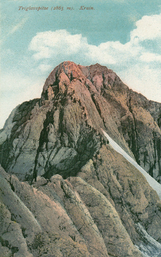
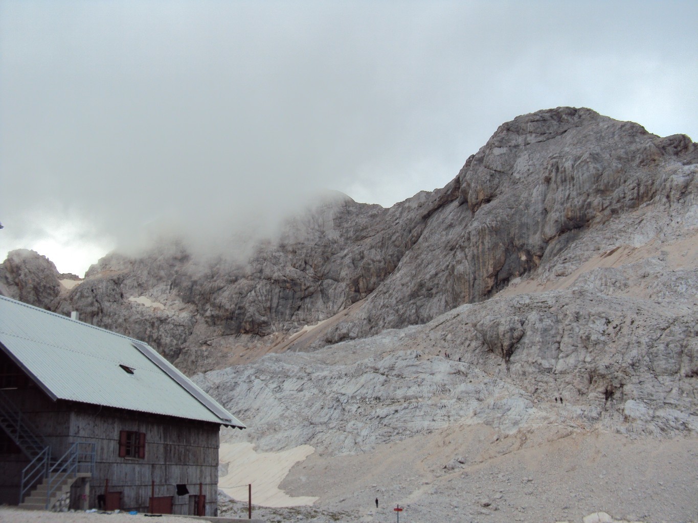
From the Dom Planika mountain hut, follow the signs northwards (signposted Triglav), first slightly downhill. Ascend along the scree, and then step into a gully (metal pegs, cables). After the gully/chimney, and after a notch, continue among rocks, the exposed sections always secured. Upon reaching the ridge, the route from the Triglavski dom Hut comes in from the right. Mali Triglav (mali = small) is just a few steps away. Between Mali Triglav and Triglav, the ridge is exposed and cables are again welcome. Then, until the summit, the ridge widens.
Descent
By the same route, or by one of the other possibilities (loop or traverse).

The text and images in this page are available
under a Creative Commons CC-by-sa licence.

Download the Whympr App to view this route in 3D.
- Route search (100 000)
- Community returns
- Weather forecast
- Avalanche bulletin
- Race book
- Creation of tracks
- Topographic map (including IGN)