

Open this route in the app to prepare your next outing.
Min / max altitude1639m / 3385m
Duration1 day
Main facingN
Route typeReturn the same way
Snowboarding possible
Source
Details
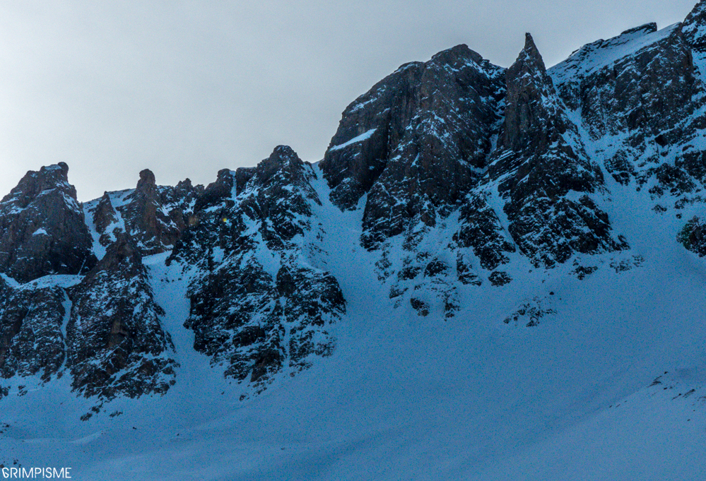
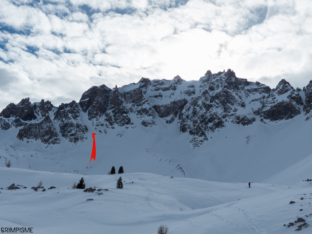
Du sommet du téléski de droite entrer dans le cirque de Saint Anne puis se diriger vers la gauche. C’est le 2e couloir en partant de la gauche.
Les 30 derniers mètres sont un peu étroits.

The text and images in this page are available
under a Creative Commons CC-by-sa licence.

Download the Whympr App to view this route in 3D.
- Route search (100 000)
- Community returns
- Weather forecast
- Avalanche bulletin
- Race book
- Creation of tracks
- Topographic map (including IGN)