

Open this route in the app to prepare your next outing.

Details
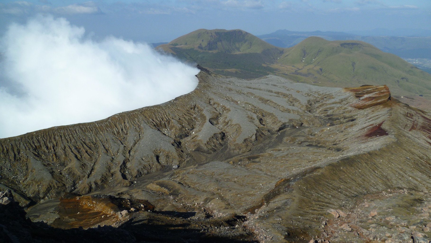
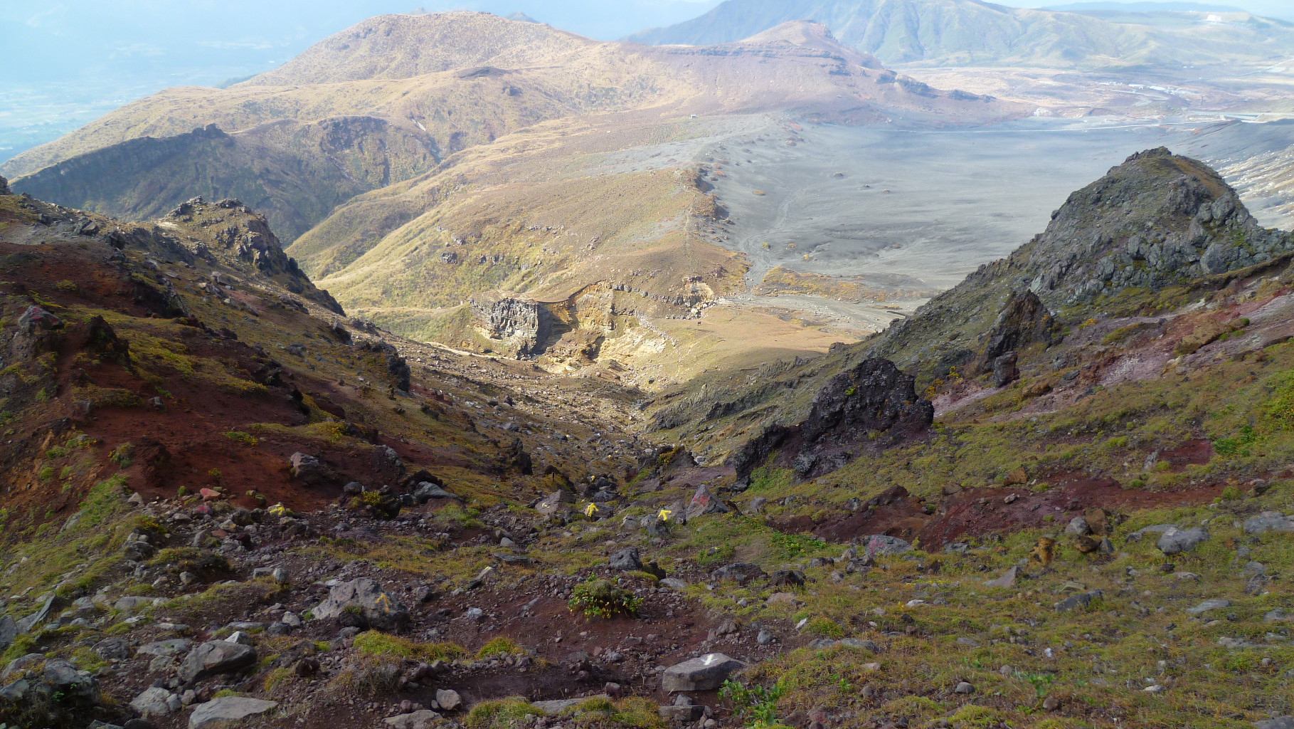
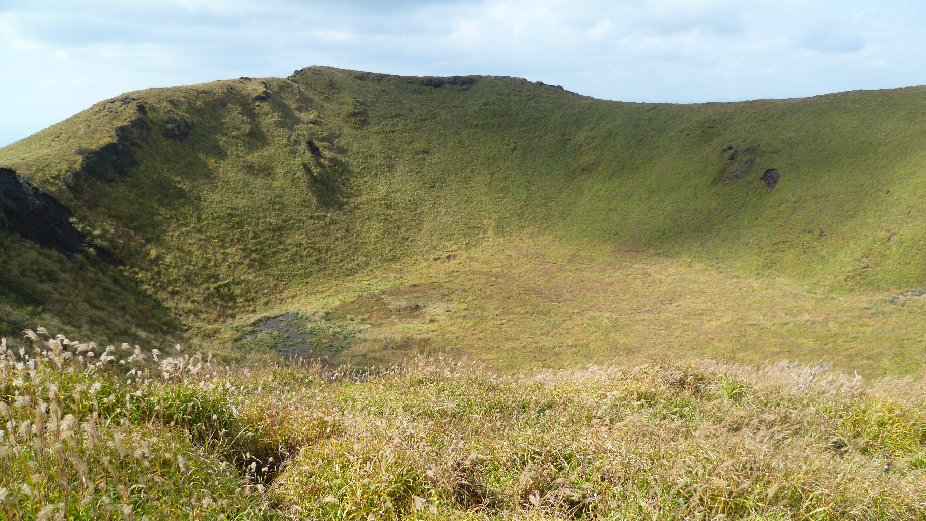
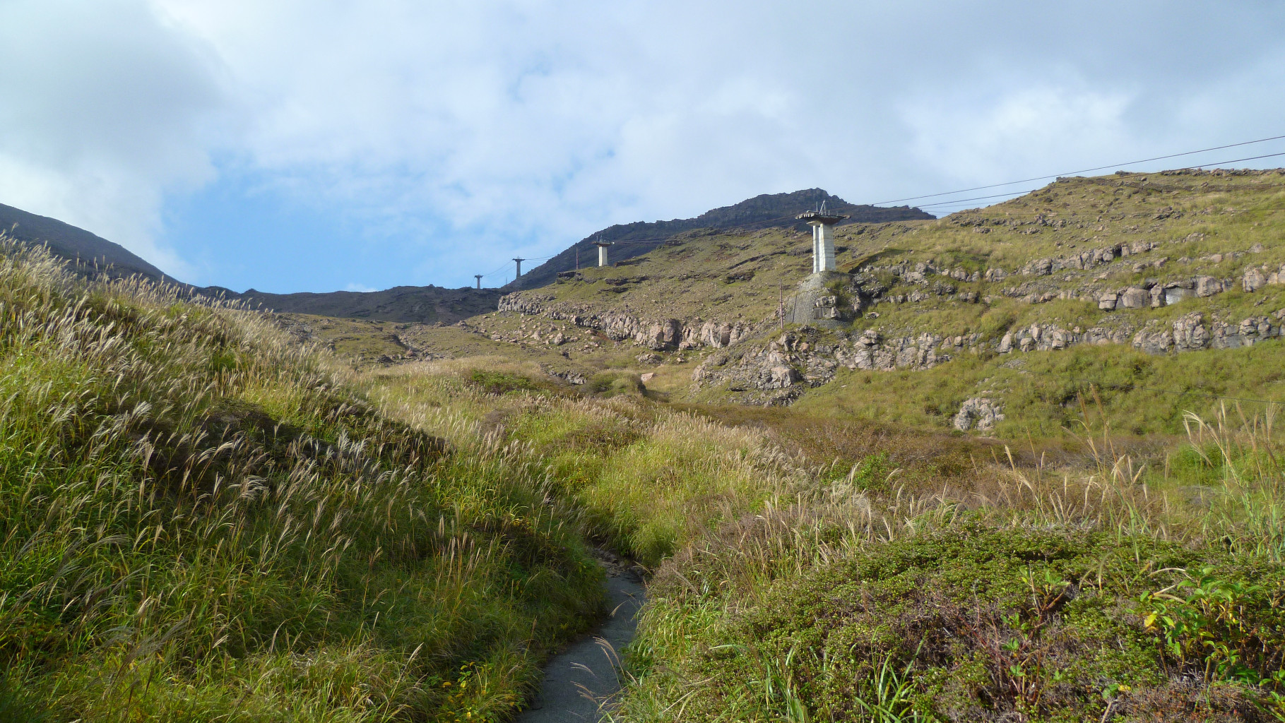
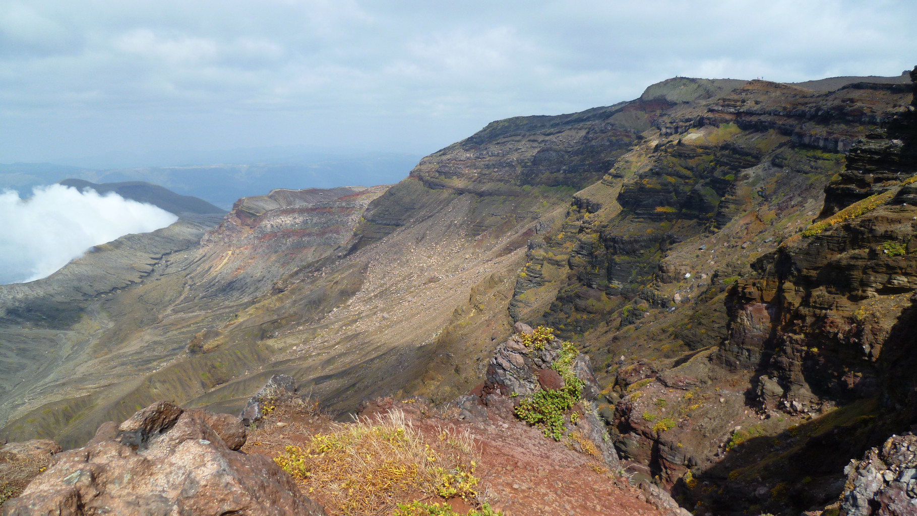
From Sensuikyo, you can either follow the obvious trail under the abandoned ropeway or use the trail on the left ridge (T3 grade) diretcly to Takadake summit. However, the path under the ropeway finish with a panoramic view of the crater. Then follow the path and the huge number of yellow arrows until Kakounishi ropeway upper station. It is really difficult to get lost since there is a yellow arrow of one meter long every 20 meters. There you can follow the road until the lower station. Buses leave this station every hour for Aso city. You can also follow a track near the road and reach the small volcano summit of Kijimadake with a nice view of other summits. Go back to Kusasenri and you can get a bus to Aso.

The text and images in this page are available
under a Creative Commons CC-by-sa licence.

Download the Whympr App to view this route in 3D.
- Route search (100 000)
- Community returns
- Weather forecast
- Avalanche bulletin
- Race book
- Creation of tracks
- Topographic map (including IGN)