

Open this route in the app to prepare your next outing.

Details
Access Dolonne carparking in Courmayeur. From here gain the T junction at the top right corner of the Palais des Sports complex, (private hotel parking on the right.)
**Approach ** 30 - 40 minutes From the T junction spot the yellow footpath sign some 20m along the road to the right. This is for Footpaths 3 and 4. The route takes footpath No 4. The path first crosses a field before entering a wood. There is then a maze of paths. Follow, as best you can, the “main” path which ascends and also trends a long way rightwards. After 10-15mins you should arrive at a climbing area, (slab with bolts.) Follow the path to the left above a wall for 100m, until a signpost and a path leading right and upwards. Within in 15-20mins after leaving the climbing area you should see the first chains leading from left to right, (5 mins before arriving at the start you pass a yellow arrow pointing left, a number 21 in white and a large bivouac cave.)
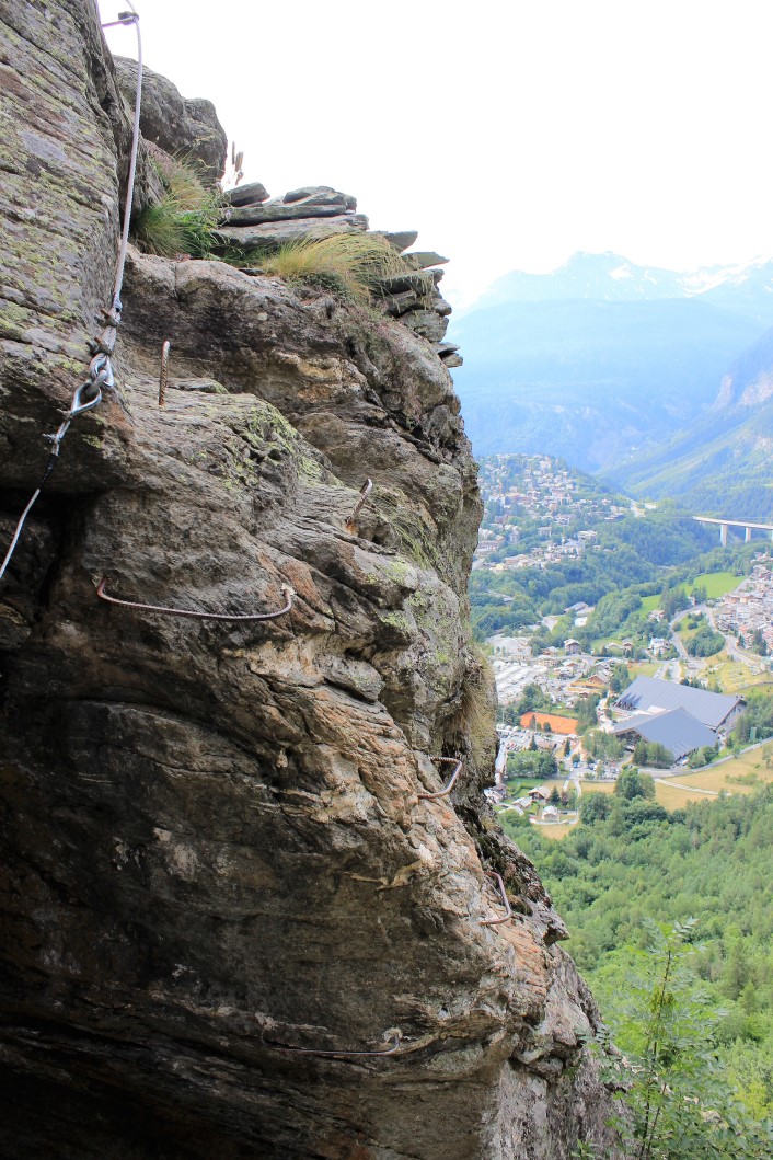
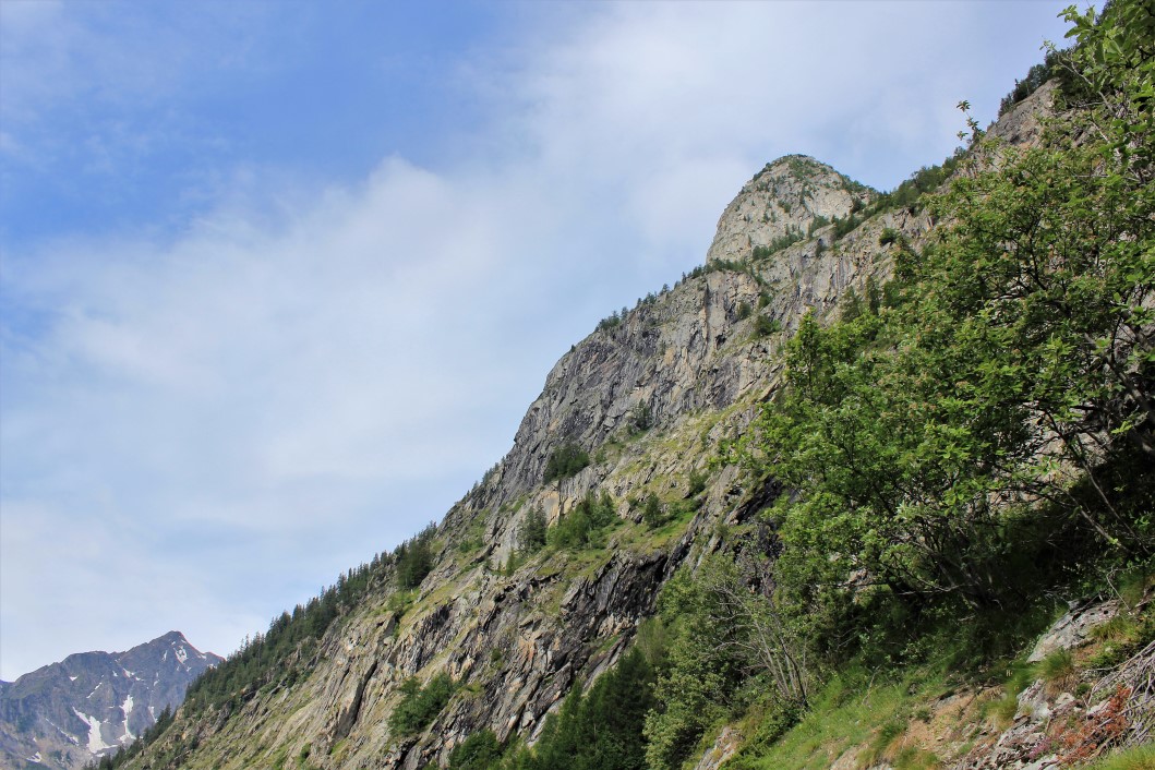
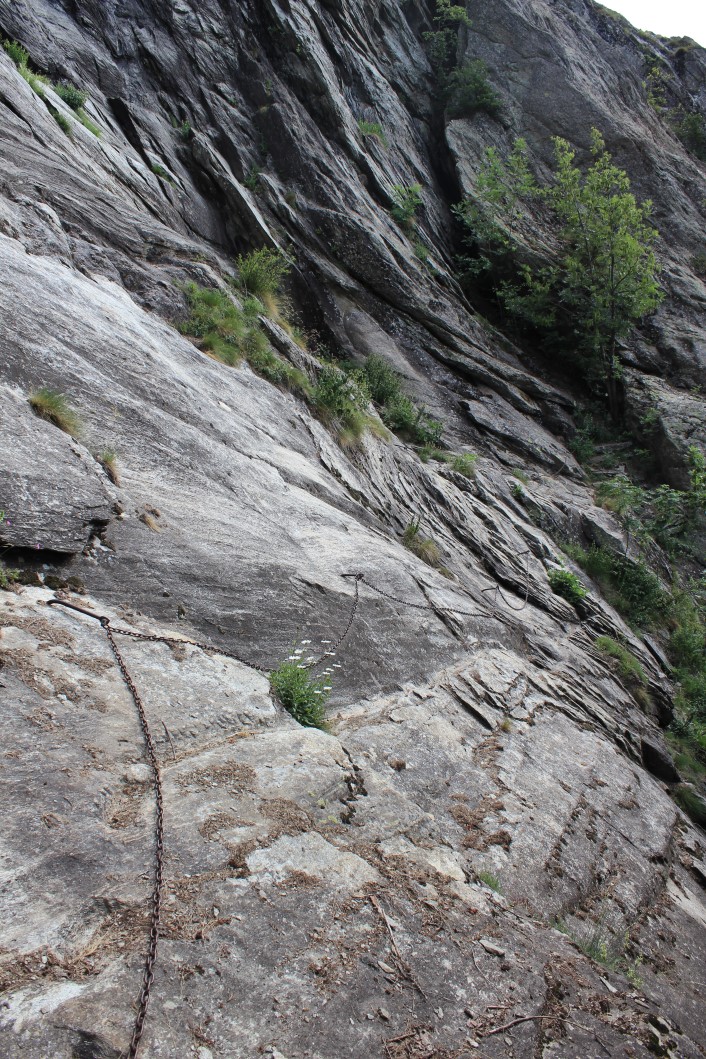
Route 2h30 to 3h00 to the summit Start by following the chains for a long traverse rightwards, (stanchions bent over.) Continue following the well worn way, passing some viewpoints, a wooden bridge, yellow markings, lots of pleasant walking and sections with chains and metal steps,until finally you exit onto the traverse path from Pré de Pascal. Turn left under the multipitch climbing area, down a chain, before the path rises again to a communications dish (square) and then a signpost at 2250m, (where it joins footpath No. 5). The path on the right leads up to the summit of Mont Chetif in about 15-20 mins , with the Queen Pacis statue a short distance beyond.
Descent 2h30 Retrace your steps to the signpost at 2250m and then follow the footpath (No.5) down the broad ridge until it narrows at a small col. Take the path down on the left (Cobra), which descends steeply down a gully and then through woods, until finally it joins the ski pistes at a broad track. Follow this to the main ski station, (top of the Courmayeur cable car and Dolonne lift). From here there is a dirt road down to Courmayeur. Part way down there is a footpath on the left leading down more directly than the dirt road.

The text and images in this page are available
under a Creative Commons CC-by-sa licence.

Download the Whympr App to view this route in 3D.
- Route search (100 000)
- Community returns
- Weather forecast
- Avalanche bulletin
- Race book
- Creation of tracks
- Topographic map (including IGN)