

Open this route in the app to prepare your next outing.
Length16807m
Min / max altitude2701m / 4199m
Duration2 days
Main facingSW
Route typeLoop
Glacier gear required
Source
Details
Montée
Par la voie normale] depuis Täschhütte.
Descente
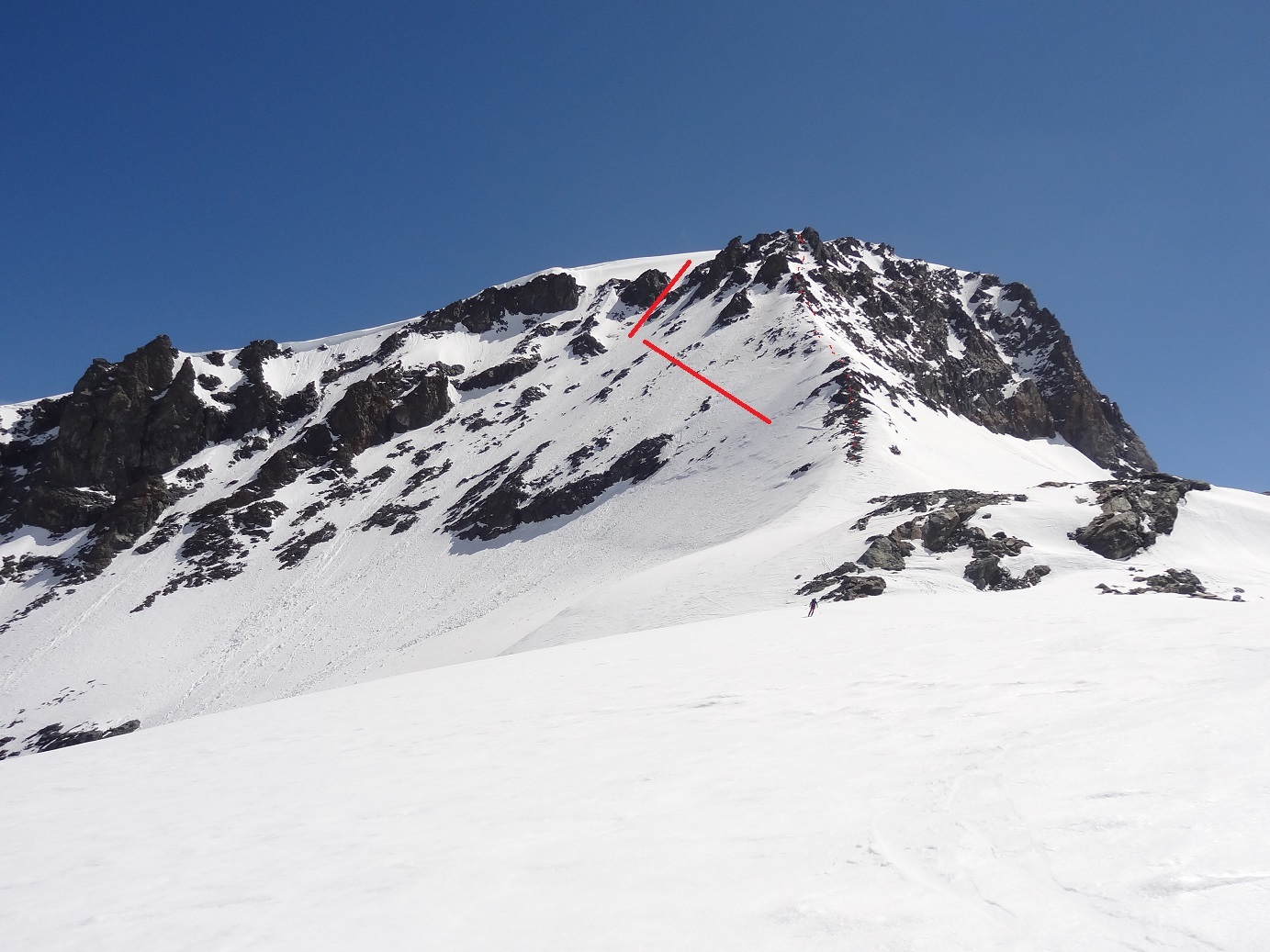
Par Längflugletscher, “derrière” le sommet d’hiver. Deux possibilités au départ:
* déchausser et descendre l’arête en désescalade * partir sur la droite et descendre un couloir escarpé. Cette dernière variante nécessite des conditions sûres, le couloir étant à 35-40° env.
Ensuite suivre le glacier, aucune difficulté particulière.

The text and images in this page are available
under a Creative Commons CC-by-sa licence.

Download the Whympr App to view this route in 3D.
- Route search (100 000)
- Community returns
- Weather forecast
- Avalanche bulletin
- Race book
- Creation of tracks
- Topographic map (including IGN)