

Open this route in the app to prepare your next outing.
Min / max altitude1450m / 1640m
Duration1 day
Main facingN
Route typeReturn the same way
Source
Details
Approche
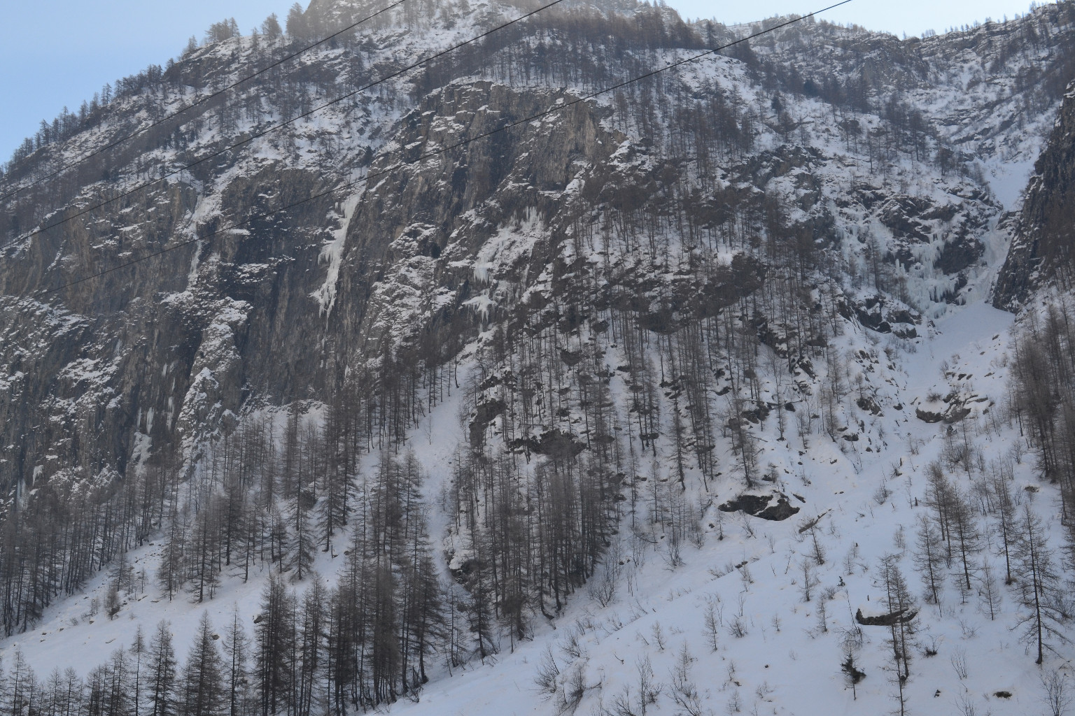
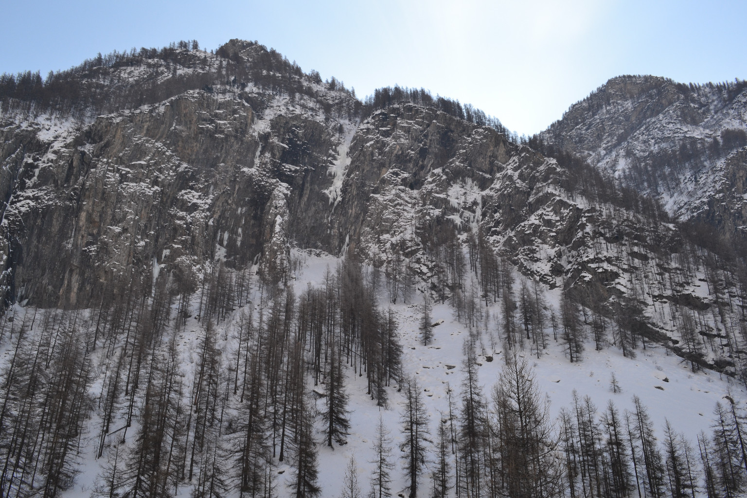
Avant Prapic bien visible sur la droite. Depuis le parking, descendre, traverser le Drac Noir au mieux et remonter à vue.
Itinéraire
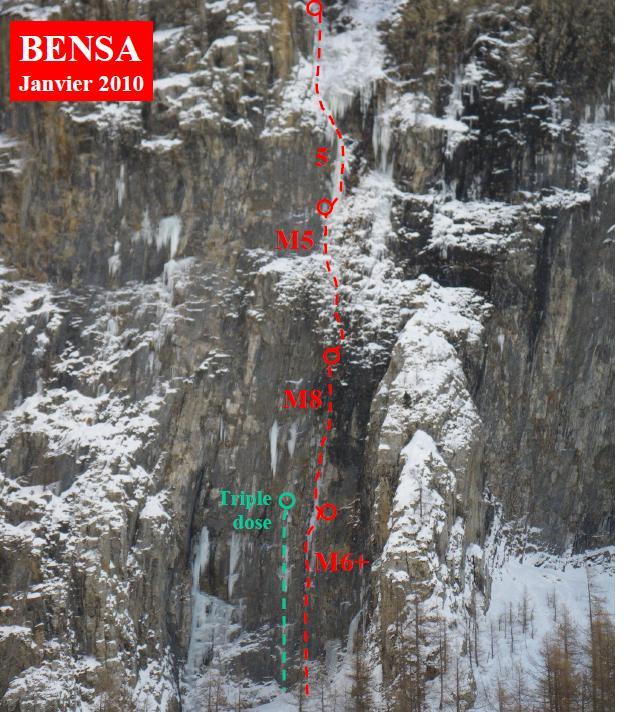
À gauche de Bensa.
Descente
En rappel

The text and images in this page are available
under a Creative Commons CC-by-sa licence.

Download the Whympr App to view this route in 3D.
- Route search (100 000)
- Community returns
- Weather forecast
- Avalanche bulletin
- Race book
- Creation of tracks
- Topographic map (including IGN)