

Open this route in the app to prepare your next outing.

Details
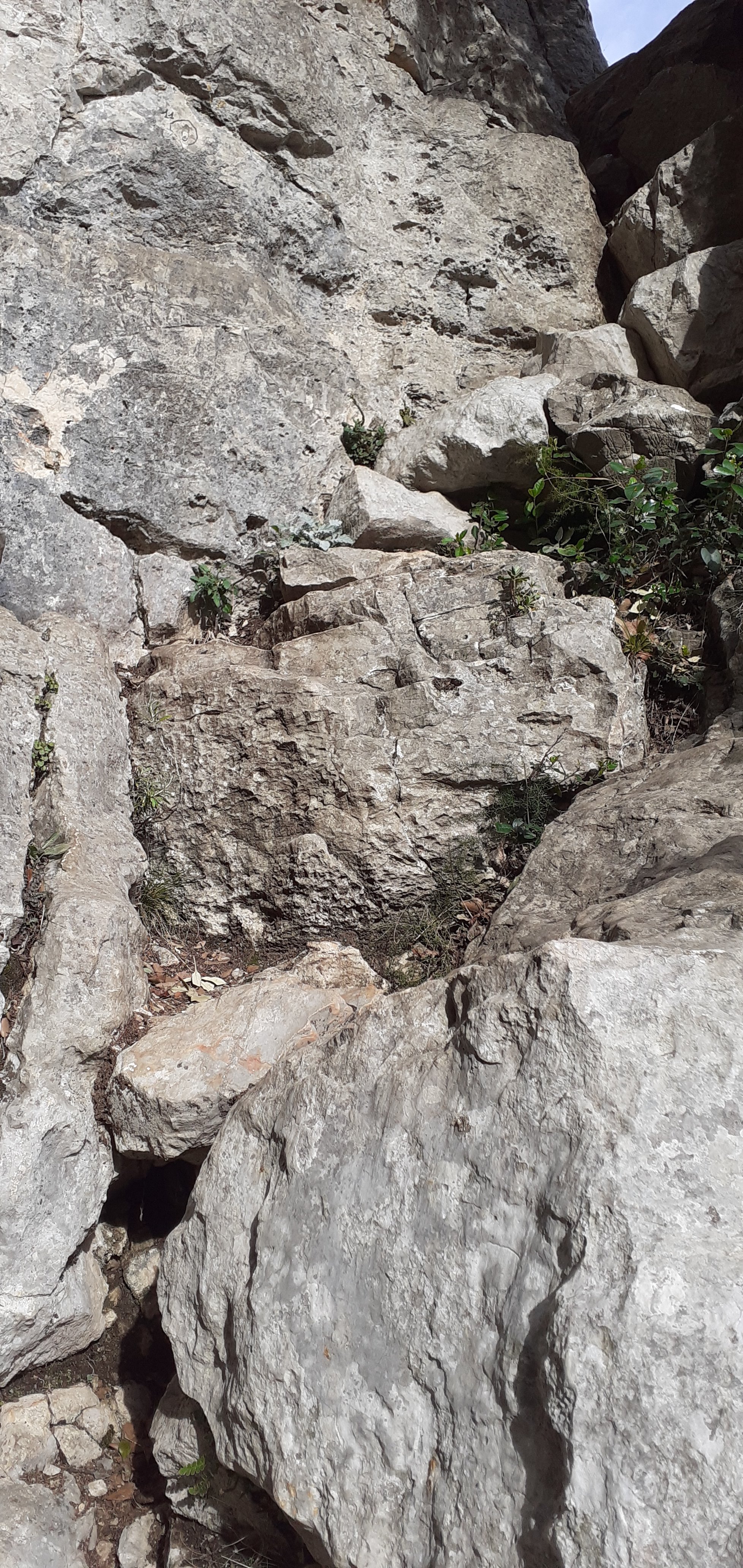
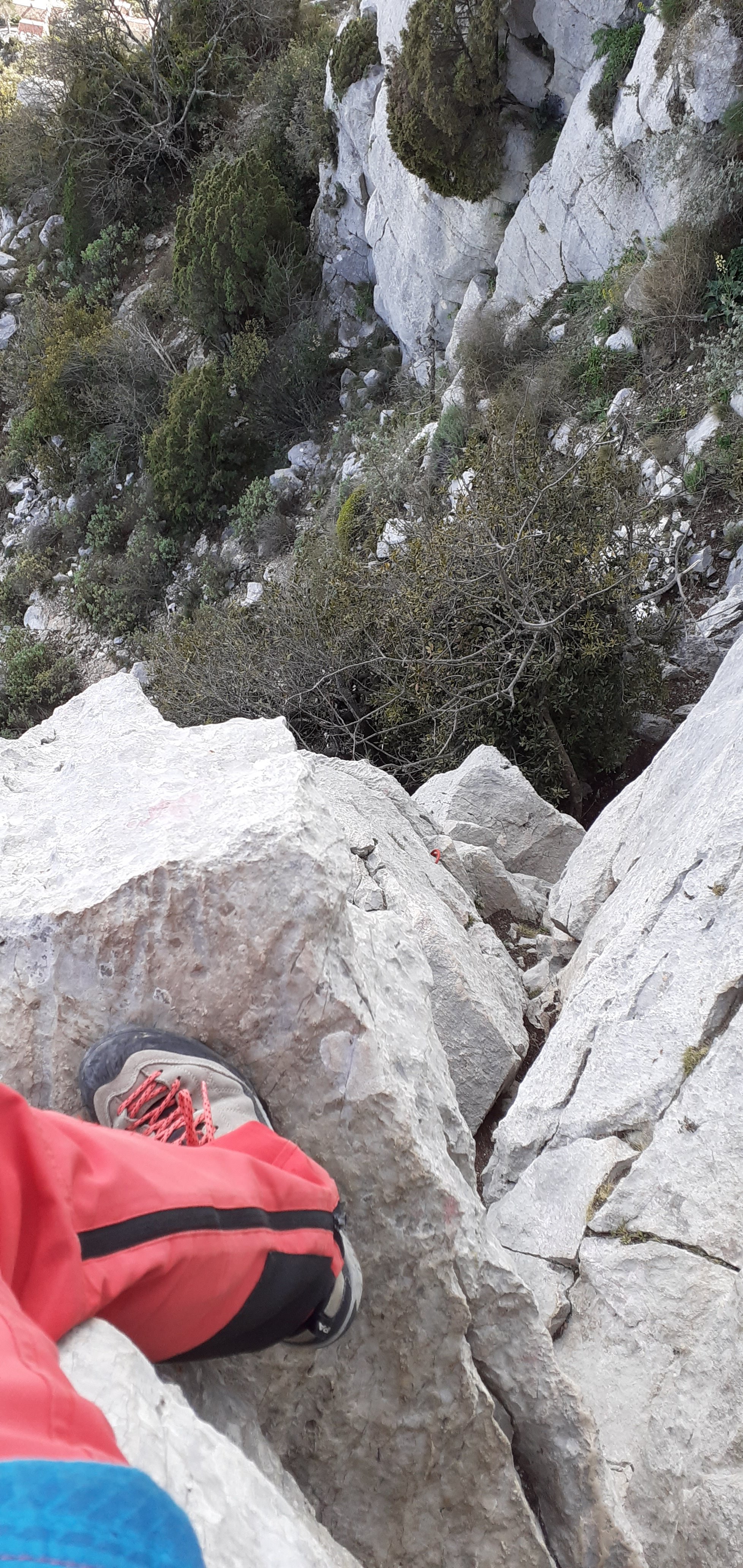
One move of 3a, several other moves almost 3 (some on polished rock), but most of the climbing is at difficulty 2 or less.
Time about 2-3 hours to climb up, 1-1.5 hours to walk down.
Approach
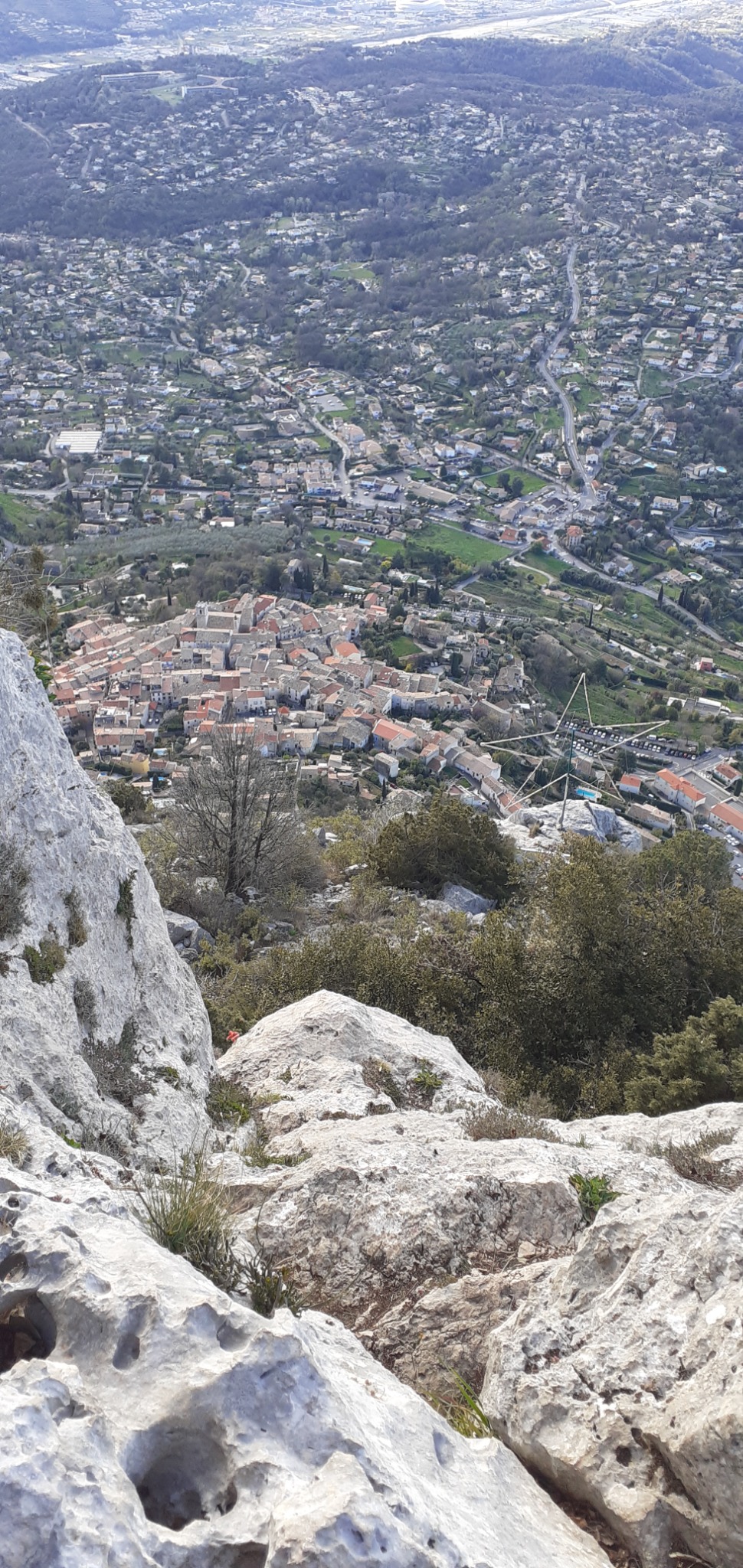
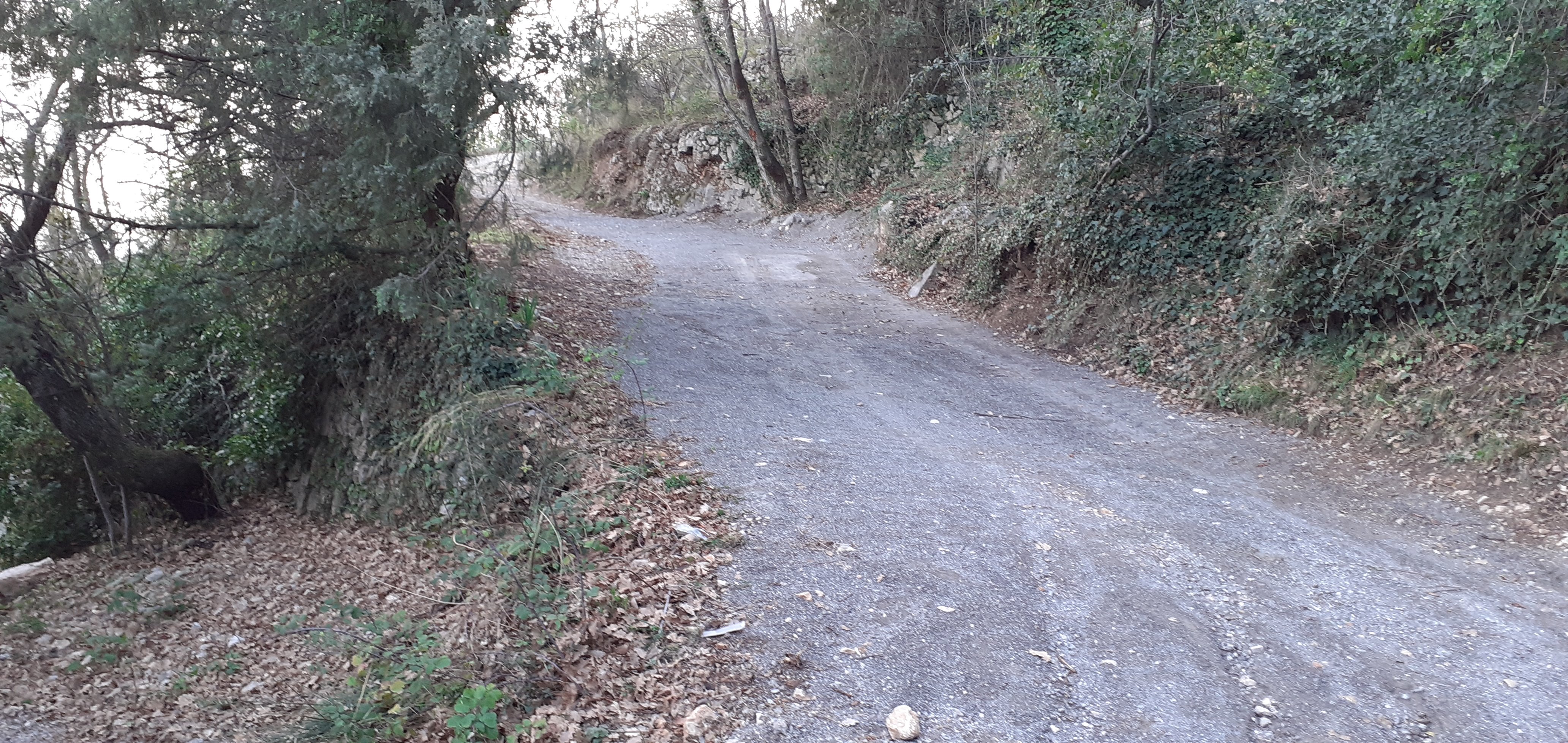
Start from Parking below village of St Jeannet (latitude/longitude approx N43.7499 E7.1448). Take main street SW up toward village center, then go Right following signs saying “Baou” up W about 80m to reach Chemin de Baou, which is GR 51. Up the road (N) about 150m. Then (at N43.7498 E7.1415) …
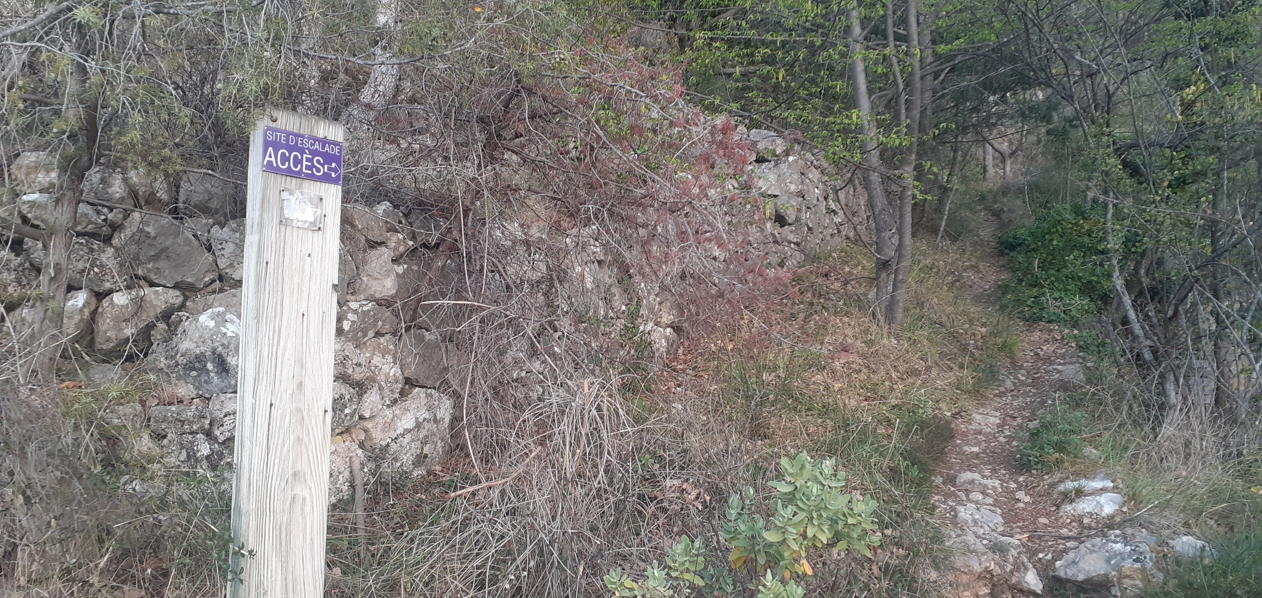
Turn left off the GR onto another road. This turn is marked by a small paint mark violet / mauve. It is opposite a wide wooden door in a high stone wall, and comes a few meters after/above another road that joins GR 51 from the left - (If you reach trail sign #2, you’ve gone too far up GR). Go up this road about 70m, then it curves sharp right and finishes at a flat area just below a concrete cistern/reservoir.
Next onto a trail marked by red or violet paint, up steep WNW for about 150m (at first thru little walls) to reach a sign (at N43.7502 E7.1397). This sign points left for “Face” and right for “Ressauts” – but take neither of those and instead continue straight up following violet / mauve paint marks. Aim for the largest weakness or break (not filled with trees) in the cliffs above.
Climbing
All the climbing sections are well-marked with violet/mauve/light-purple paint, so if you do not see any paint, you’re likely getting into much more difficult climbing. The first climbing section goes up the “break”. Finish through slot to Right. Next walk a short ways R on ledge and further up R on trail to paint-marked junction. Here turn L and follow trail about 70m rising SW.
The next climbing section is on the right side of a wide gully. Starts with some tricky moves on polished rock. A little higher see some bolts. Climb a meter to the right of the first bolt – but do not continue to follow the bolts, instead after a couple meters up near first bolt, exit Right with a slightly athletic move.
Next walk L on trail through vegetation, W about 20m or so. The third climbing section is a short wall: careful footwork on polished rock, but mostly good handholds. Then L on a gently rising traverse about 75m with some parts on slabby rock, gets steeper. The fourth climbing section starts narrow, then less difficult. Suddenly onto the open summit plateau (N43.7508 E7.1377). With a table of orientation, a bench, and a great wide view.
Descent
Head N past the bench on eroded limestone, follow yellow paint marks and dirty rock for about 400m to trail junction with sign #5 (N43.7543 E7.1376). Continue straight N for a few meters, then bear right to aim NE down off the plateau, for about 600m to reach the GR 51. Turn R on this and go about 180m SE to meet a dirt+rock road and follow this about 1000m S down back to St Jeannet village.

The text and images in this page are available
under a Creative Commons CC-by-sa licence.

Download the Whympr App to view this route in 3D.
- Route search (100 000)
- Community returns
- Weather forecast
- Avalanche bulletin
- Race book
- Creation of tracks
- Topographic map (including IGN)