

Open this outing in the app to prepare your next outing.
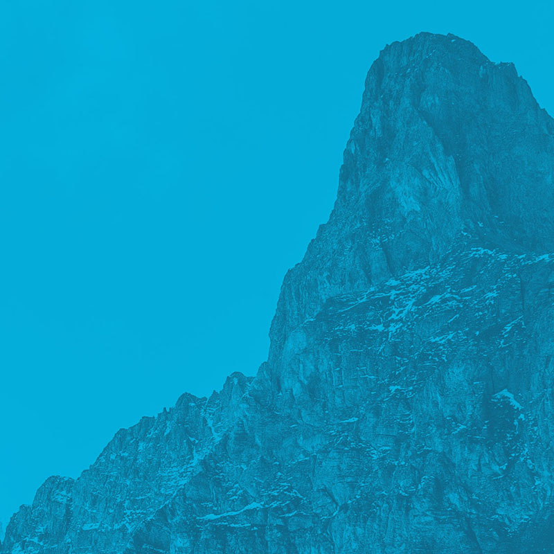
La Serpentine
Switzerland • 3712 m
Source
Topographie
Sommet sur la carte : 3712 m, mais deux pointes plus hautes au N : 3791 m et 3786 m.
Historique
- 1re ascension : 16 juillet 1866 - Séraphin Bessard, Justin Felley, Eduard Hoffmann.
Bibliographie
- Serpentine par Eduard Hoffmann, Jahrbuch">https://books.google.fr/books?id=x-wUAAAAQAAJ&pg=PA126&hl=fr&source=gbs_toc_r&cad=3#v=onepage&q&f=false">Jahrbuch des Schweizer, 1867-1868, p.126-140 (rectificatif p.624) :">https://books.google.fr/books?jtp=624&id=x-wUAAAAQAAJ&hl=fr#v=onepage&q&f=false">p.624) : récit de la 1re ascension (en allemand).


Download the Whympr App to view this POI in 3D.
- Route search (100 000)
- Community returns
- Weather forecast
- Avalanche bulletin
- Race book
- Creation of tracks
- Topographic map (including IGN)