

Open this outing in the app to prepare your next outing.
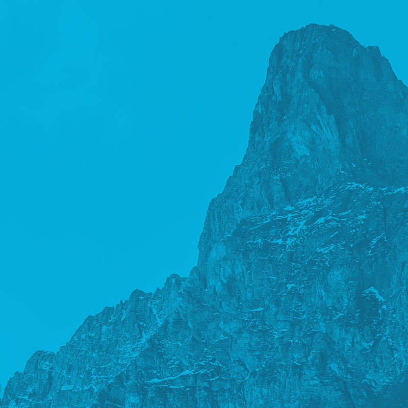
Mouriès
France • 150 m

Pedestrian access
It’s 2.9-km from the center of Mouriès to the parking at the cliff.
Go north on Cours Paul Revoil. At the fork, go toward Golf de Servanes. After the south entrance to the golf, continue 1.2-km northward. The south face of the cliff is obvious above the golf course. When the main road turns 90° left, a secondary asphalt road (Chemin du Mas de Fléchon) starts between two concrete pads and continues N between the olive trees, while a stony path heads to the E (dir. “La Cigale égarée”). Take this road for 100m and park on the right at the obvious parking.
For the N face, follow the road along the cliff for 750-1000m. For the S face, pass to the other side of the rock outcrop, and follow the path toward the E for 20-minutes.
There is also another parking option on the other side of the golf course that allows quicker access to the S face (at least, for the Blériote and Arlesian sectors). To reach it, head to Eygalières from Mouriès. When the road bends 90° to the right, take the dirt road to the left that parallels the golf course for 0.9 km. From the parking, take the path along the cliffs for about 10-minutes to the first sectors.
Details
One of the most significant climbing sites in the Alpilles.
Mourièes offers climbers 2 very different types of climbing:
On the south face, you’ll find very technical, fingery slabs.
On the north face, you’ll find an athletic wall, pocketed by holes.
The advantage of this site is that you can climb summer or winter, depending on the aspect you choose.
Remarks
Helmets are useful when the sheep graze on the ledges above the slabs on the south face.
External resources
See the French version of this page for links to topos.

Routes

Download the Whympr App to view this POI in 3D.
- Route search (100 000)
- Community returns
- Weather forecast
- Avalanche bulletin
- Race book
- Creation of tracks
- Topographic map (including IGN)