

Open this outing in the app to prepare your next outing.

L'Aiguille
France • 2025 m
Source
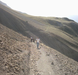
Accès en randonnée pédestre, soit par le refuge de Rochassac (S) soit par le chalet de Bachilianne (E) soit par le cirque de l’hirondelle (W) soit par le col de la Brèche (N)


Download the Whympr App to view this POI in 3D.
- Route search (100 000)
- Community returns
- Weather forecast
- Avalanche bulletin
- Race book
- Creation of tracks
- Topographic map (including IGN)