

Open this outing in the app to prepare your next outing.
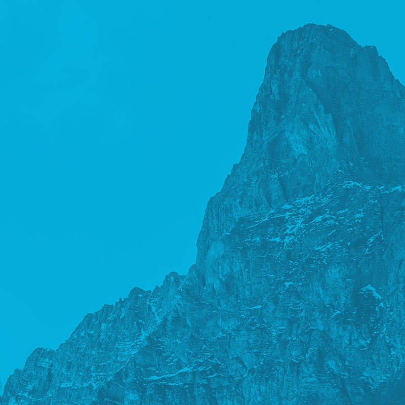
Rocher de Roquebrune
France • 373 m
Source
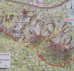
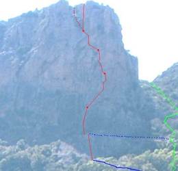
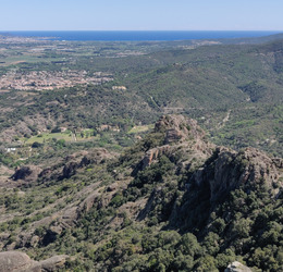
Isolated summit in the Massif des Maures about 1 km south of the A8 between Le Muy and Puget-sur-Argens, and roughly 3 km east from the village of Roquebrune-sur-Argens. Three crosses at the summit. There are two tours described in the book by Pierre Millon: Provence, Les sentiers du vertige et l’insolite (Glénat 2003).


Download the Whympr App to view this POI in 3D.
- Route search (100 000)
- Community returns
- Weather forecast
- Avalanche bulletin
- Race book
- Creation of tracks
- Topographic map (including IGN)