

Open this outing in the app to prepare your next outing.
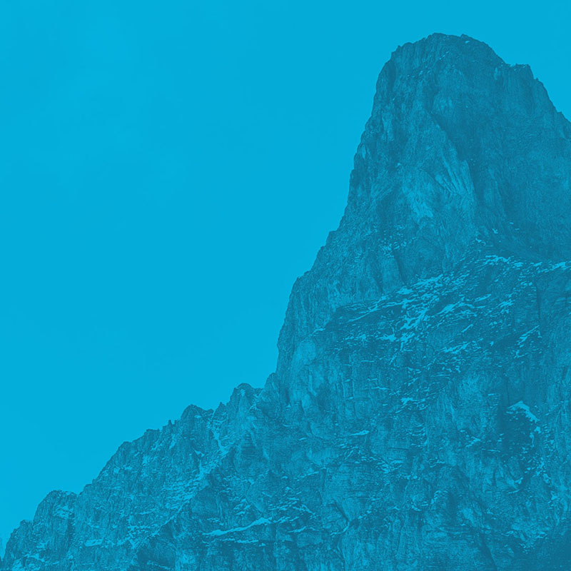
Pointe Supérieure des Améthystes
France • 3586 m
Source
Géographie
Sommet séparant le glacier du Tour Noir du glacier des Améthystes dans le bassin d’Argentière.
Historique
- Première ascension (par l’Arête E) : 24 juillet 1910 - Marcel Kurz, Karl Steiner.
- Ascension">https://gallica.bnf.fr/ark:/12148/bpt6k97643829/f165.image">Ascension par l’Arête W : 12 juillet 1920 - MlleL. Flurer, Tom de Lépiney.

Routes

Download the Whympr App to view this POI in 3D.
- Route search (100 000)
- Community returns
- Weather forecast
- Avalanche bulletin
- Race book
- Creation of tracks
- Topographic map (including IGN)