

Open this outing in the app to prepare your next outing.

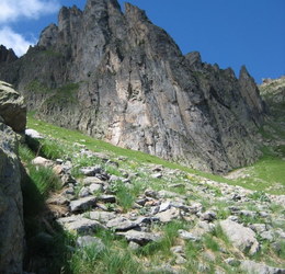
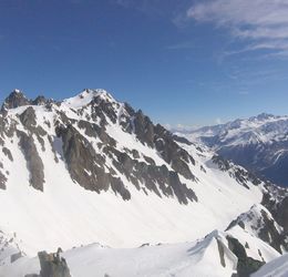
Aiguille Pourrie
France • 2561 m
Source
Bibliographie
Arête Est de l’Aiguille Pourrie, par Jacques de Lépiney, La">https://gallica.bnf.fr/ark:/12148/bpt6k9764272k/f142.image">La Montagne, 1921, no146, p.107.


Download the Whympr App to view this POI in 3D.
- Route search (100 000)
- Community returns
- Weather forecast
- Avalanche bulletin
- Race book
- Creation of tracks
- Topographic map (including IGN)