

Ouvre ce point d’intérêt dans l’application pour préparer ta prochaine sortie

Gokyo Ri
Népal • 5357 m

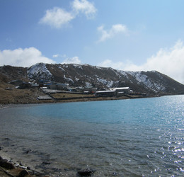
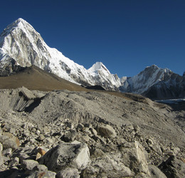
Sommet du Khumbu au Népal. Sommet accessible en randonnée, très fréquenté en saison dans le cadre des trekking réalisés dans la région du Khumbhu (camp de base de l’Everest).
Panorama
Vue">https://www.airpano.com/360photo/everest-2022/?startscene=11&ath=-1448.705&atv=72.079&fov=60.90">Vue aérienne au dessus de Gokyo Ri par AirPano Vue">https://www.airpano.com/360photo/everest-2022/?startscene=12&ath=-2433.563&atv=20.272&fov=50.00">Vue aérienne au dessus de Ngozumba Tsho par AirPano Vue">https://www.airpano.com/360photo/everest-top-view/?startscene=5&ath=-204.804&atv=26.029&fov=66.13">Vue aérienne au dessus de Gokyo par AirPano Vue">https://www.airpano.com/360photo/everest-top-view/?startscene=8&ath=277.954&atv=6.555&fov=40.00">Vue de Renjo La par AirPano Vue">https://www.panorama-photo.net/panorama.php?pid=29506">Vue du Gokyo Ri 1 par Alberto Pedrotti Vue">https://www.panorama-photo.net/panorama.php?pid=29506">Vue du Gokyo Ri 2 par Alberto Pedrotti Vue">https://www.panorama-photo.net/panorama.php?pid=26242">Vue du Gokyo Ri 3 par Alberto Pedrotti


Télécharge l’appli Whympr pour voir ce POI en 3D.
- Recherche d'itinéraires (100 000)
- Retours communautaire
- Prévision météo
- Bulletin d’avalanche
- Carnet de course
- Création de traces
- Carte topographique (dont IGN)