

Ouvre cet itinéraire dans l’application pour préparer ta prochaine sortie
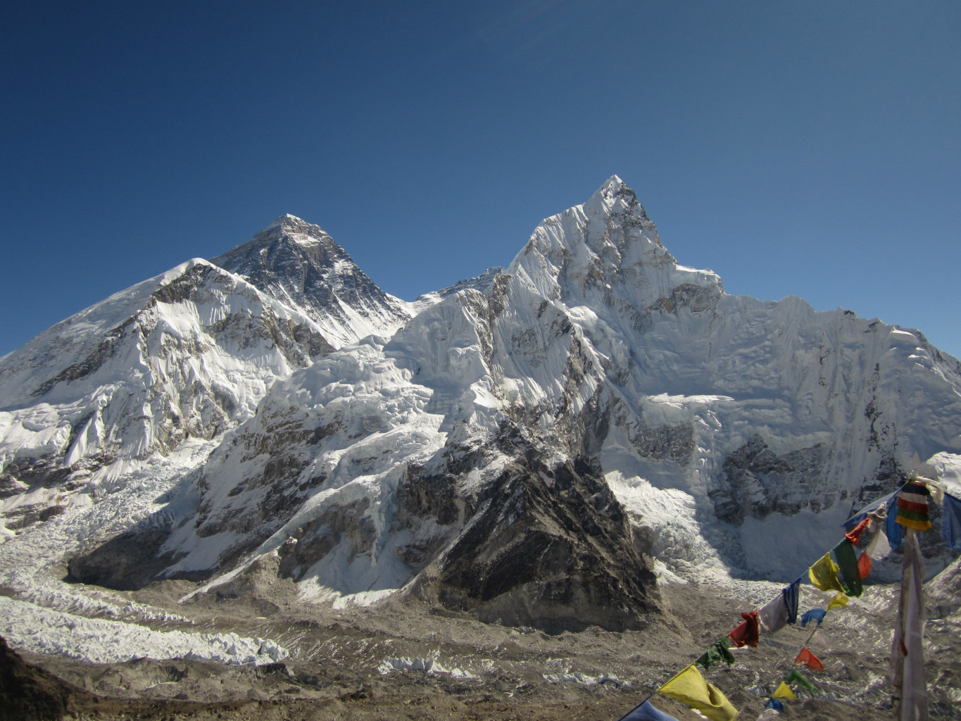
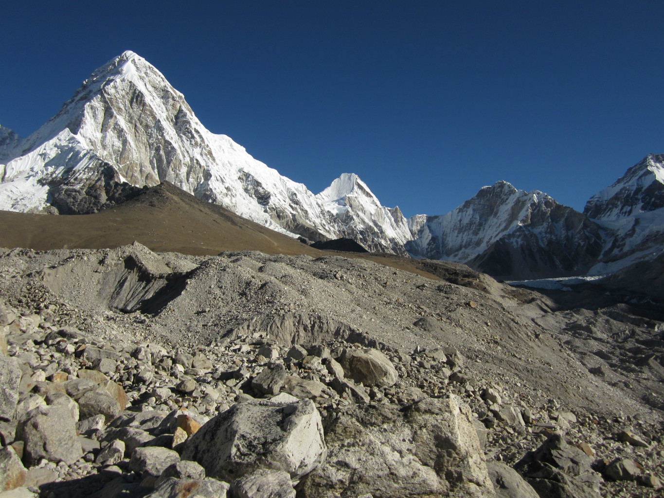
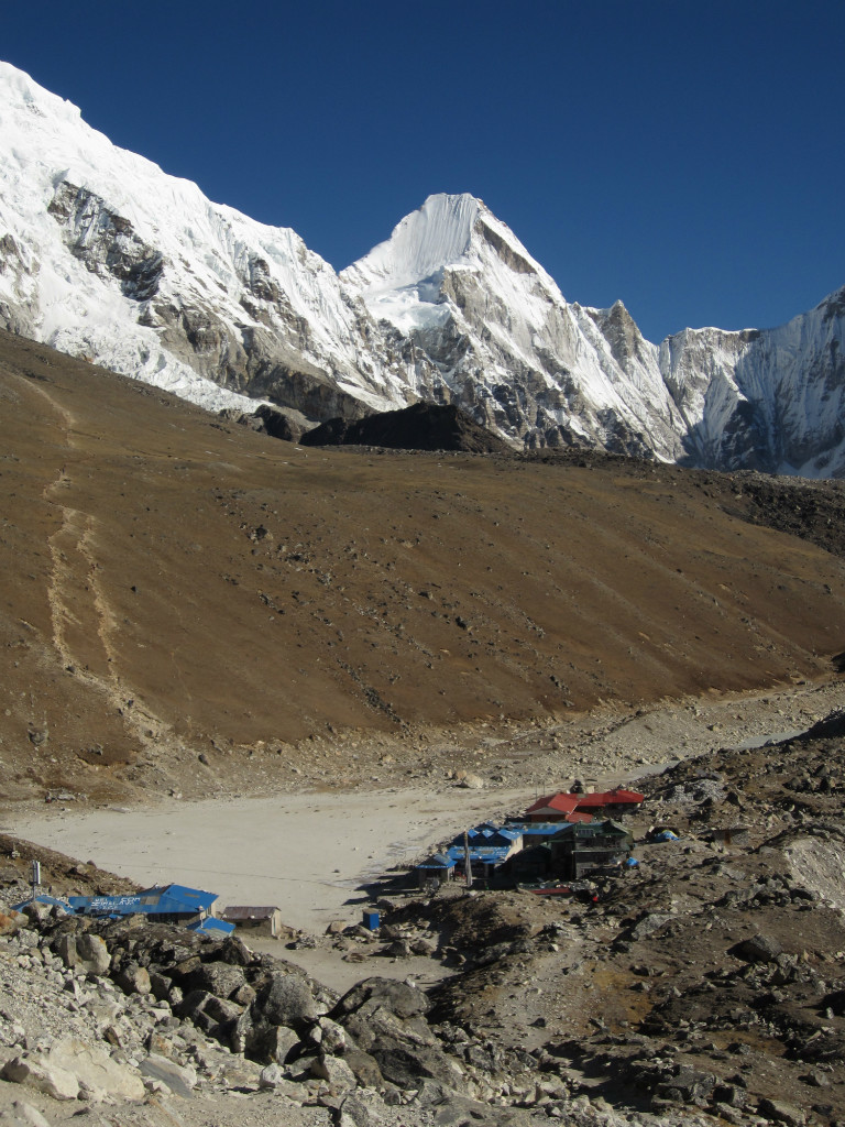
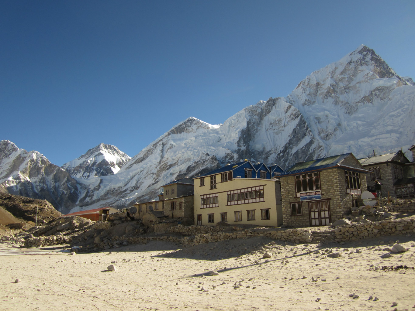
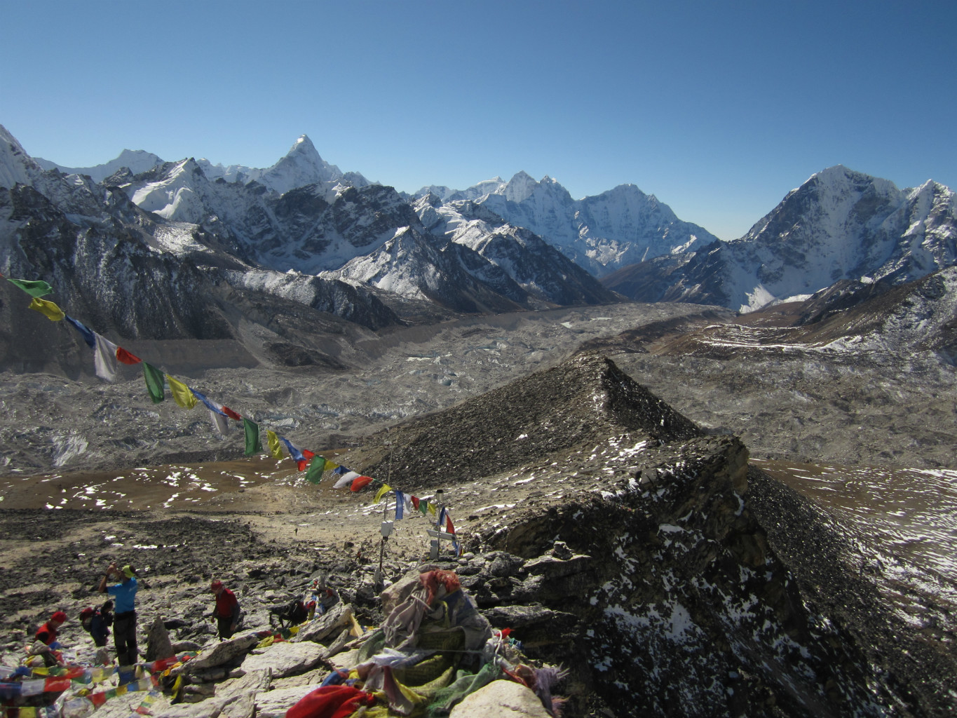
par les 3 cols (Renjo La - Cho La - Kongma La )
Altitude min / max2610m / 6189m
Type d'itinéraireBoucle
Équipement- Sac de couchage chaud (-10°C) pour un couchage en lodge, une doudoune pour le soir
Source
Details
Étape 1 : Lukla » Phakding
- Lukla » Phakding
- D+ ~ 480 m
- D- ~ 640 m
Étape 2 : Phakding » Namche Bazar
- Phakding » Namche Bazar
- D+ ~ 1160 m
- D- ~ 340 m
Étape 3 : Namche Bazar » Khumjung » Namche Bazar
- Namche Bazar » Khumjung
- D+ ~ 340 m
- Étape facultative, mais bien utile pour l’acclimatation
Étape 4 : Namche Bazar » Thame
- Namche Bazar » Thame
- D+ ~ 750 m
- D- ~ 360 m
Étape 5 : Thame » Marulung » Langden
- Thame » Marulung » Langden
- D+ ~ 840 m
- D- ~ 410 m
Étape 6 : Langden » Renjo Pass » Gokyo
- Langden » Renjo Pass » Gokyo
- D+ ~ 1090 m
- D- ~ 625 m
Étape 7 : Gokyo » Gokyo ri (en aller-retour) » Tagnag
- Gokyo » Gokyo ri (en aller-retour) » Tagnag
- D+ ~ 700 m
- D- ~ 900 m
Étape 8 : Tagnag » Cho La » Dzongla (4830 m)
- Tagnag » Cho La » Dzongla
- D+ ~ 800 m
- D- ~ 640 m
Étape 9 : Dzongla » Lobuche
- Dzongla » Lobuche
- D+ ~ 400 m
- D- ~ 200 m
Étape 10 : Lobuche » Kala Patthar en aller-retour
- Lobuche » Kala Patthar en aller-retour
- D+ ~ 700 m
- D- ~ 700 m
Étape 11 : Lobuche » Kongma La » Chhukung
- Lobuche » Kongma La » Chhukung
- D+ ~ 900 m
- D- ~ 1100 m
- Depuis Chhukung, possibilité d’atteindre le camp de base de l’Island Peak (Imja Tse)
Étape 12 : Chhukung » Dingpoche » Pangpoche » Tengboche
- Chhukung » Dingpoche » Pangpoche »Tengboche
- D+ ~ 550 m
- D- ~ 1460 m
- Depuis Chhukung, possibilité de gravir le matin le Chhukung Ri en aller-retour (D+/- ~ 820 m) avant de redescendre.
Étape 13 : Tengboche » Namche Bazar
- Tengboche » Namche Bazar
- D+ ~ 900 m
- D- ~ 1200 m
Étape 14 : Namche Bazar » Lukla
- Étapes 1 et 2 en sens inverse.
Variantes
Évitement du Renjo pass : remonter directement la vallée de Gokyo jusqu’au village de Gokyo à partir de Namche Bazar en 3 étapes
Étape 4’ : Namche Bazar » Dohle (4100 m)
- Namche Bazar » Dohle
- D+ ~ 1100 m
- D- ~ 600 m
Étape 5’ : Dohle » Machhermo (4400 m)
- Dohle » Machhermo
- D+ ~ 400 m
- D- ~ 300 m
Étape 6’ : Machhermo » Gokyo
- Gokyo » Machhermo (en sens inverse)
- D+ ~ 320 m
- D- ~ 0 m
Évitement du Cho la Pass : redescendre la vallée de Gokyo et contourner la montagne pour rejoindre Lobuche en 4 étapes (au lieu de 3)
Étape 7’ : Gokyo » Machhermo
- Gokyo » Machhermo
- D+ ~ 0 m
- D- ~ 320 m
- Avant de descendre à Machhermo, il est possible de monter au Gokyo Ri par sa voie normale : D+/- ~ 570 m.
Étape 8’ : Machhermo » Phortse Tanga
- Machhermo » Phortse Tanga
- D+ ~ 100 m
- D- ~ 890 m
Étape 9’ : Phorste Thanga » Phortse » Pangboche
- Phorste Thanga » Phortse » Pangboche
- D+ ~ 500 m
- D- ~ 370 m
Étape 10’ : Pangboche » Pheriche » Lobuche
- Pangboche » Pheriche » Lobuche
- D+ ~ 980 m
Ascension de l’Island Peak depuis Chhukung {#island-peak} ajout de 2 étapes
Étape 12’ : Chhukung » camp de base de l’Island Peak (Imja Tse)
- Chhukung » camp de base de l’Island Peak (Imja Tse)
- D+ ~ 350 m
Étape 13’ : Camp de base » Island peak » Chhukung
- Camp de base » Island peak » Chhukung
- D+ ~ 1090 m
- D- ~ 1090 m
Étapes 14’ à 16’ :
- identiques aux étapes 12 à 14 de l’itinéraire principal

Le texte et les images de cette page sont disponibles
sous la license Creative Commons CC-by-sa.

Télécharge l’appli Whympr pour voir cet itinéraire en 3D.
- Recherche d'itinéraires (100 000)
- Retours communautaire
- Prévision météo
- Bulletin d’avalanche
- Carnet de course
- Création de traces
- Carte topographique (dont IGN)