

Open this route in the app to prepare your next outing.

Details
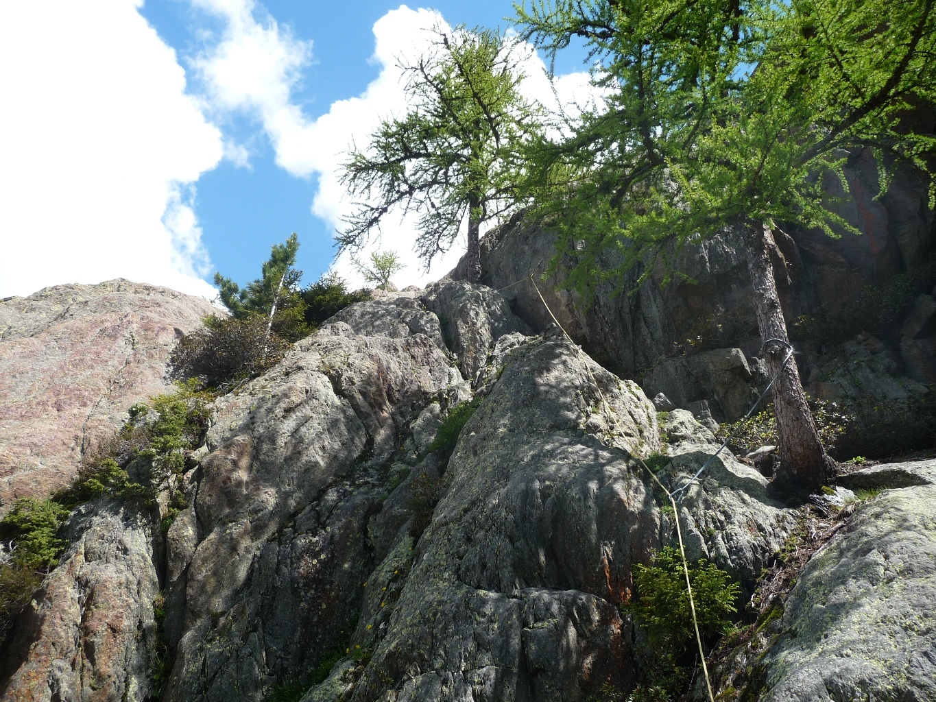
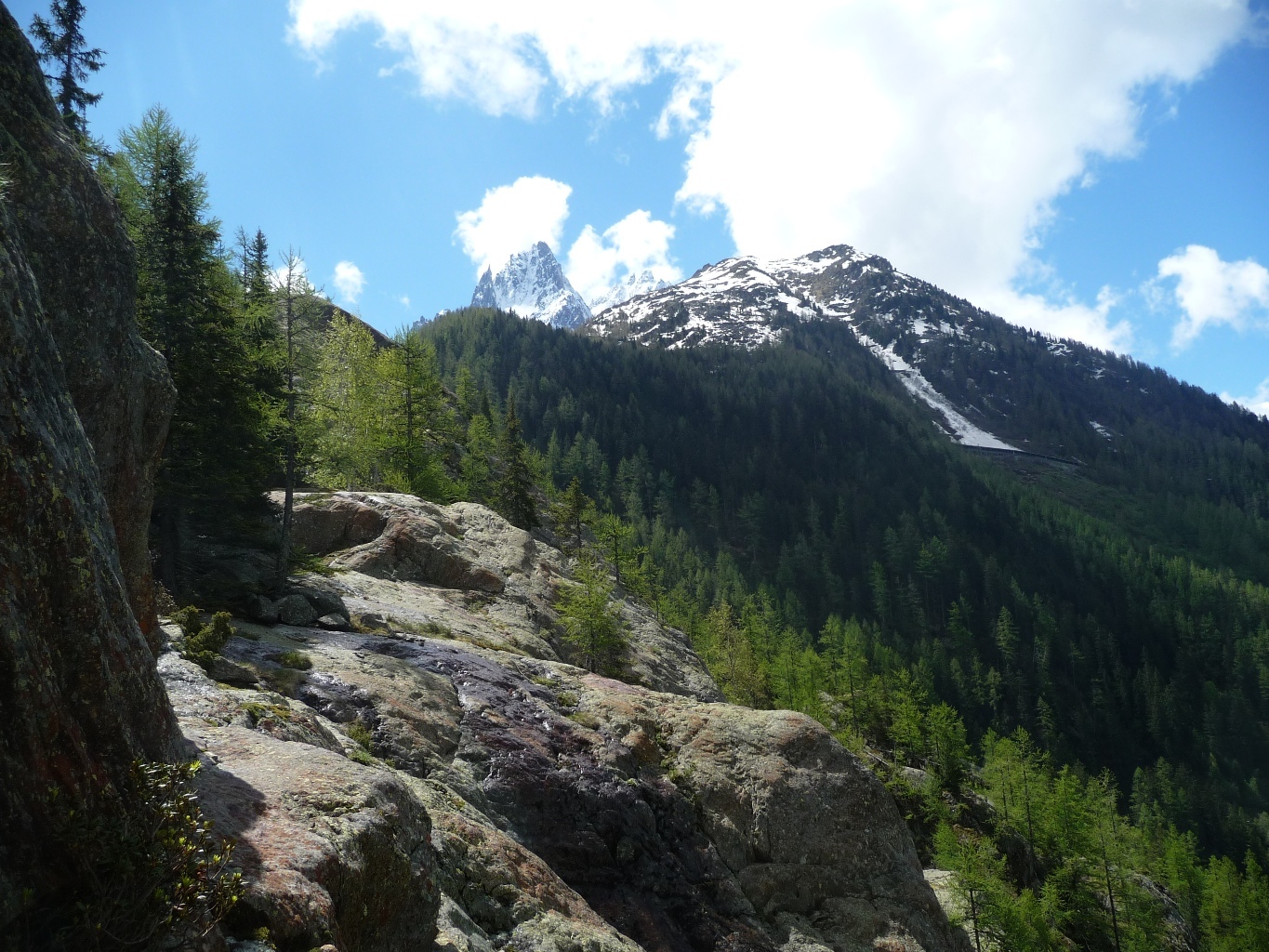
Situated above the village of “Les Bois”, the route takes a line up the slabby rocks of Mottets (north facing).
Approach # 45 mins
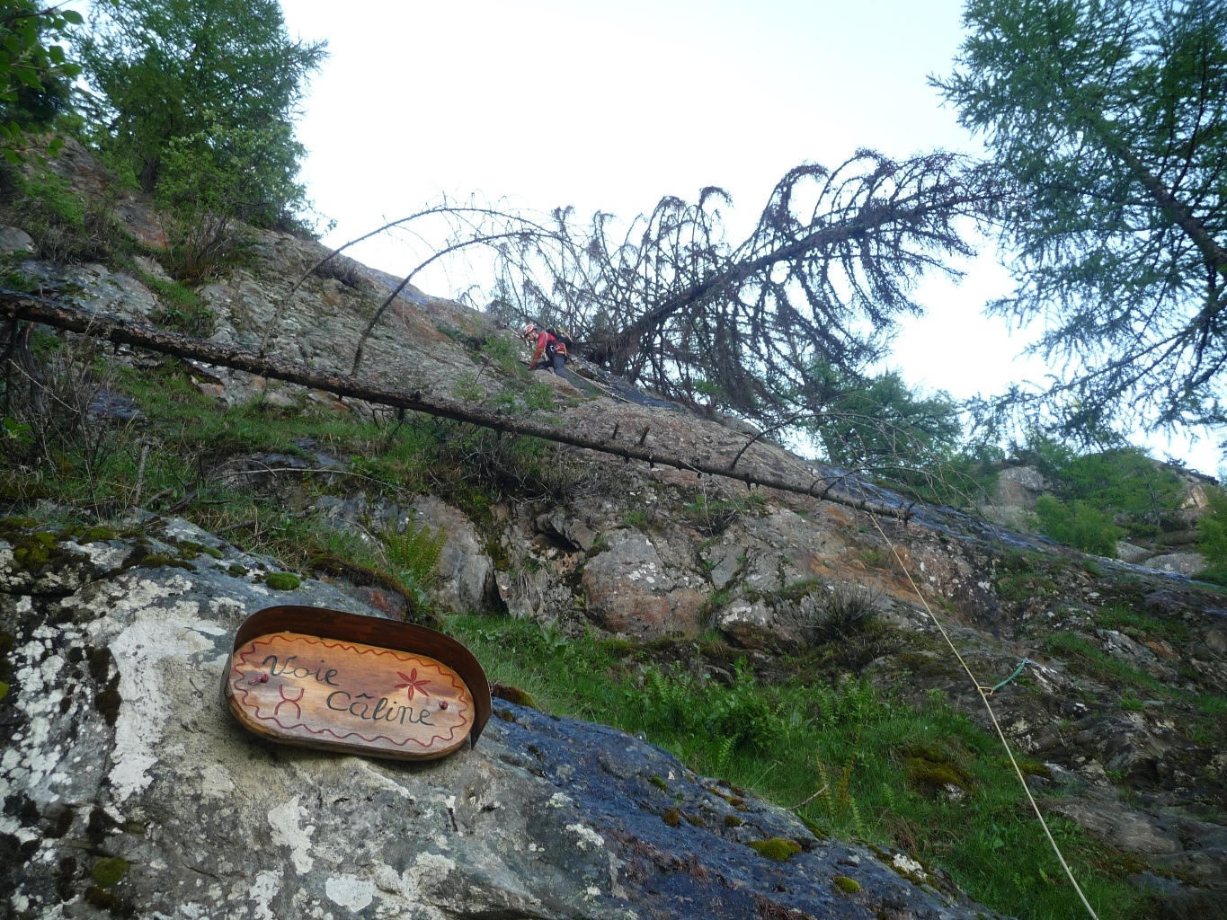
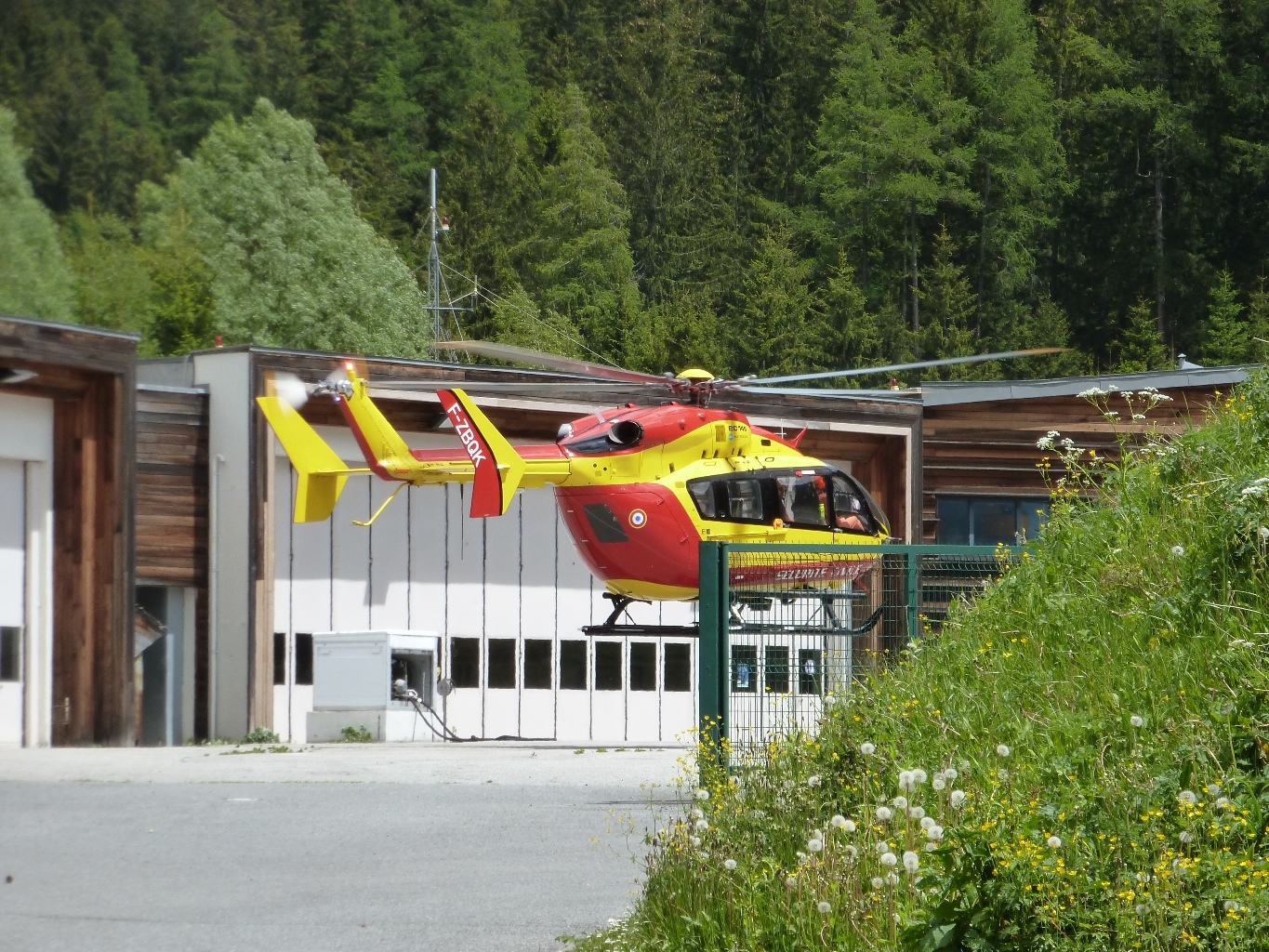
From the heliport in Les Bois cross the river Arveyron (bridge) and take any of the mountain bike trails except the “Montee de Pepe). These all ascend to a signpost “sommet de la norvege”. (Start of the Via Corda Alpina). Follow the path to the right around three hairpins, past a little artificial dam in a stream and continue until just before a rockfall and sign post “Voie Caline”, (might now be missing!). If you get to some metal ladders you have gone to far!. Follow a path on the right, with cables and metal steps, to the start of the route. NB, before you get to the signpost you will have passed another, newer route called the “Princesse”, which takes a line to the right of Voie Caline.
Route
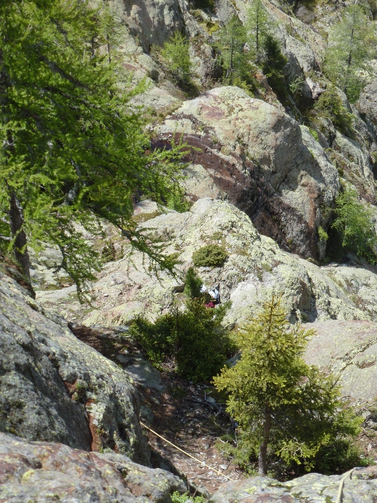
The route consists of 19 pitches with an average length of 25 metres, well equipped with bolts and easy to follow. The first two or three pitches go straight up, the next two traverse to the right to reach an easy angled section where a roped party can move together. The last five or six pitches are a similar grade to the first three. Alternative description : http://buvettedesmottets.com/docfr/docfr/escfr_05.html
Descent
From the last belay, follow to the right (W) faint tracks and cairns to the “Buvette des Mottets”, refreshments available. From here follow the path back towards Chamonix, and after about 20 minutes take the signposted turn off on the right, which brings you back to Les Bois. (1h)
- An enjoyable outing, not sustained, but quite long

The text and images in this page are available
under a Creative Commons CC-by-sa licence.

Download the Whympr App to view this route in 3D.
- Route search (100 000)
- Community returns
- Weather forecast
- Avalanche bulletin
- Race book
- Creation of tracks
- Topographic map (including IGN)