

Open this route in the app to prepare your next outing.

Details
Approach
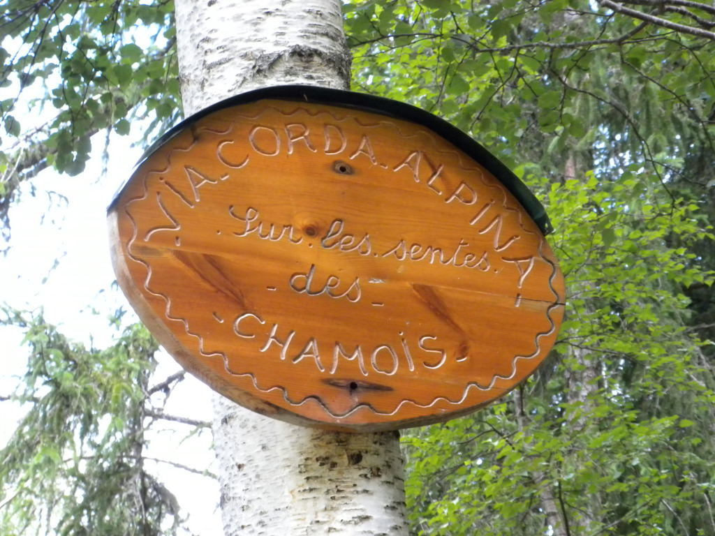
From the heliport in Les Bois cross the river Arveyron (bridge) and take any of the mountain bike trails, (except the “Montee de Pepe). These all ascend to a signpost “Sommet de la Norvege”. A few metres behind this signpost is another sign “via corda alpina”, attached to a tree which marks the start of the route. Due to its popularity, the correct route is well worn.
Route:
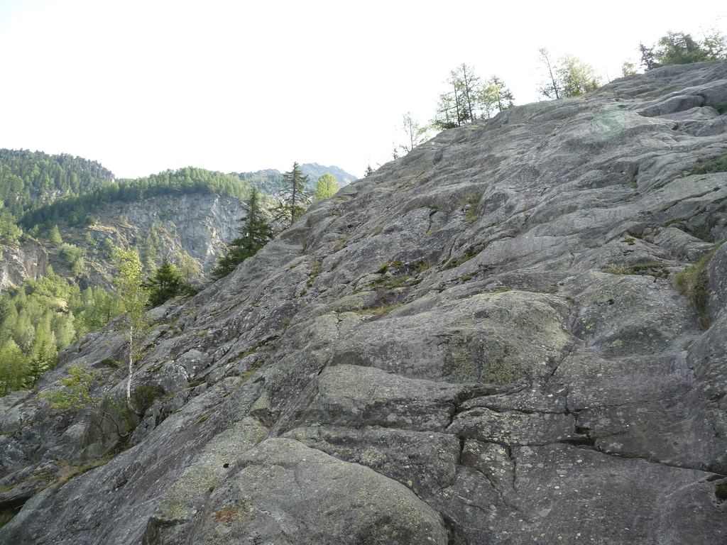
Follow the rock steps interspersed with walking sections; no need to untie as the next stretch of rock climbing is never far away, allowing yourself to be guided by the cairns, bolts etc, which mark the route.
The route is in six parts:
The chamois climb
The passage of the “sabinette”
The theft of the “perfo”
The ledge of the buck and the traverse of the Italians.
(A 90 metre traverse, being careful to descend slightly to the left and to avoid climbing too high. There is a cable to stop you going too high)
The veterans wall
Canyon and Oasis
Hopefully, the names will become understandable once you have done the route!
Descent:
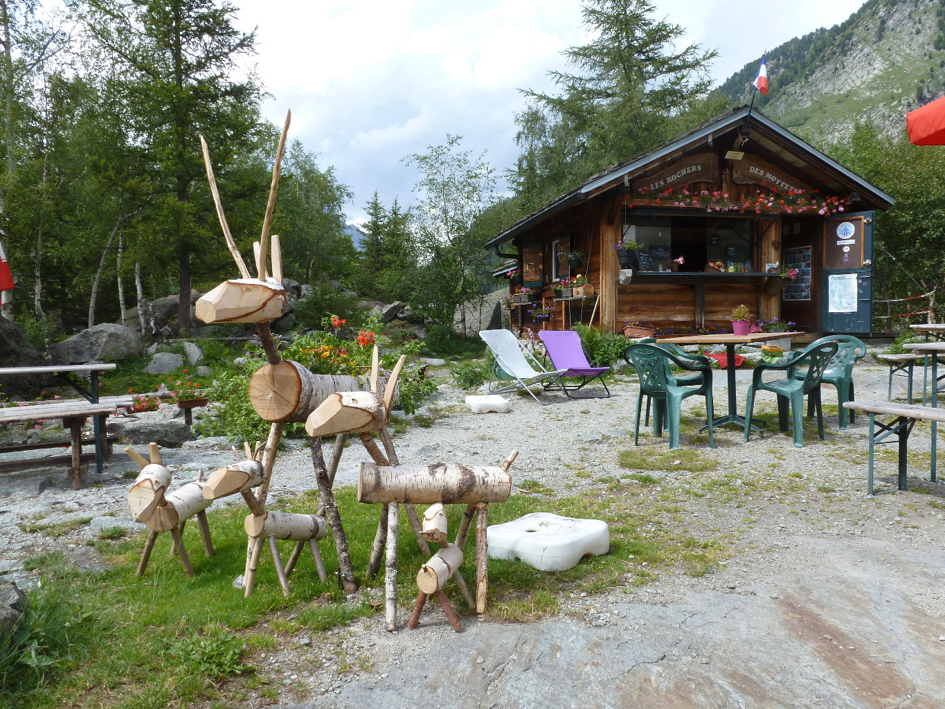
Continue along the (now not so) faint track (Canyon and Oasis) to the “Buvette des Mottets”, refreshments available. From here follow the path direction Chamonix, and after about 20 minutes take the signposted turn off on the right, which brings you back to Le Bois. (1h)
Good practice in moving quickly while roped together. If you decide to pitch it, be prepared to bivouac! The route combines walking and climbing and so gives good experience in moving safely on easy ground. The route is equipped with bolts, though not necessarily at the belays. However, depending on the level of the party, take some slings for the belays and for runners using trees/bushes.

The text and images in this page are available
under a Creative Commons CC-by-sa licence.

Download the Whympr App to view this route in 3D.
- Route search (100 000)
- Community returns
- Weather forecast
- Avalanche bulletin
- Race book
- Creation of tracks
- Topographic map (including IGN)