

Open this route in the app to prepare your next outing.

Details
Approach # 4-4.5hrs
From Randa follow the signposted path to the Weisshorn Hut.(2932m)
Route
From the hut take the path to the NW which joins the Schali glacier at the level of the hut’s water supply. Go up slightly then traverse horizontally, the descend slightly towards a gully coming down from a gap just to the N of Point 3145m
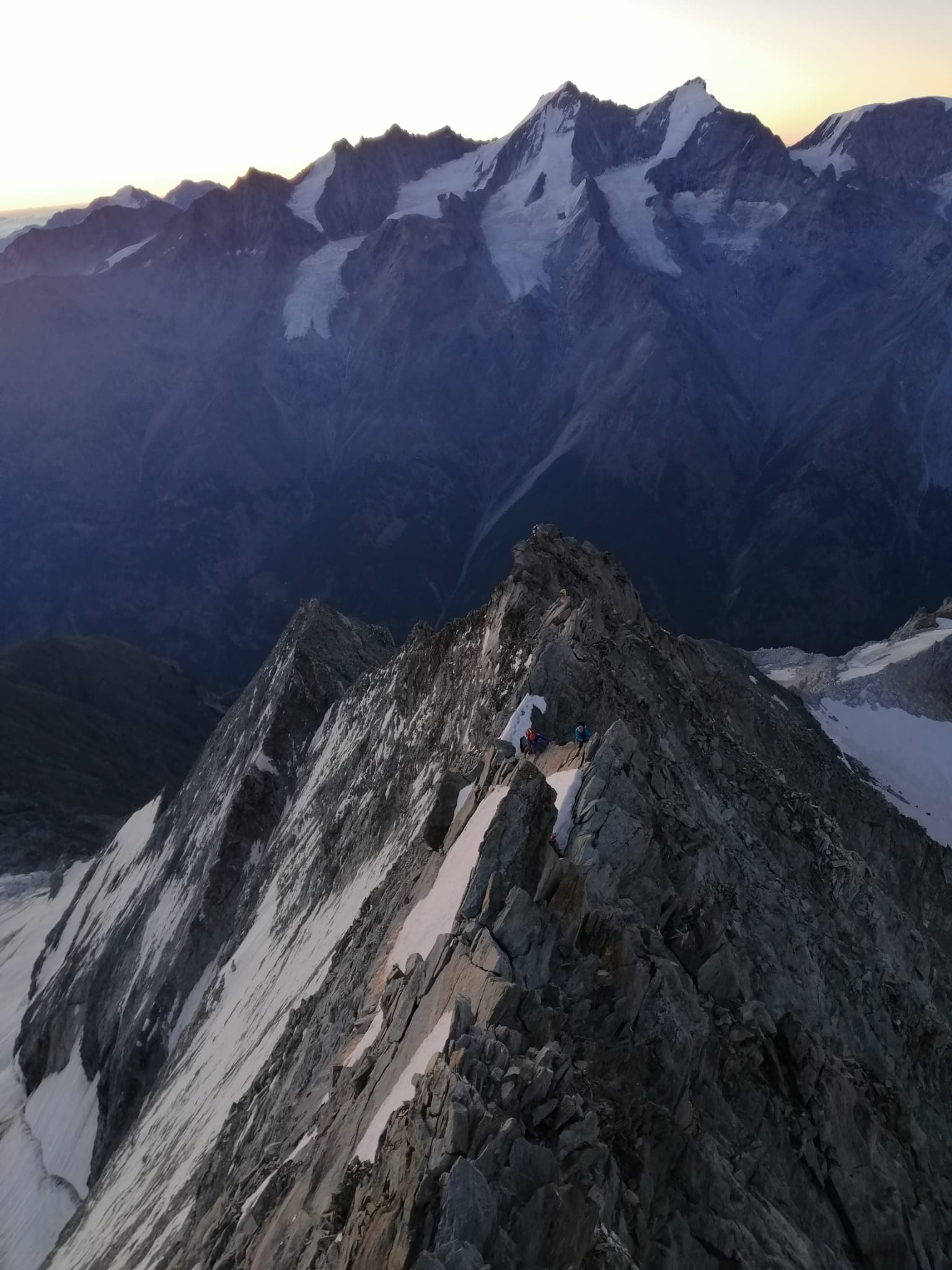
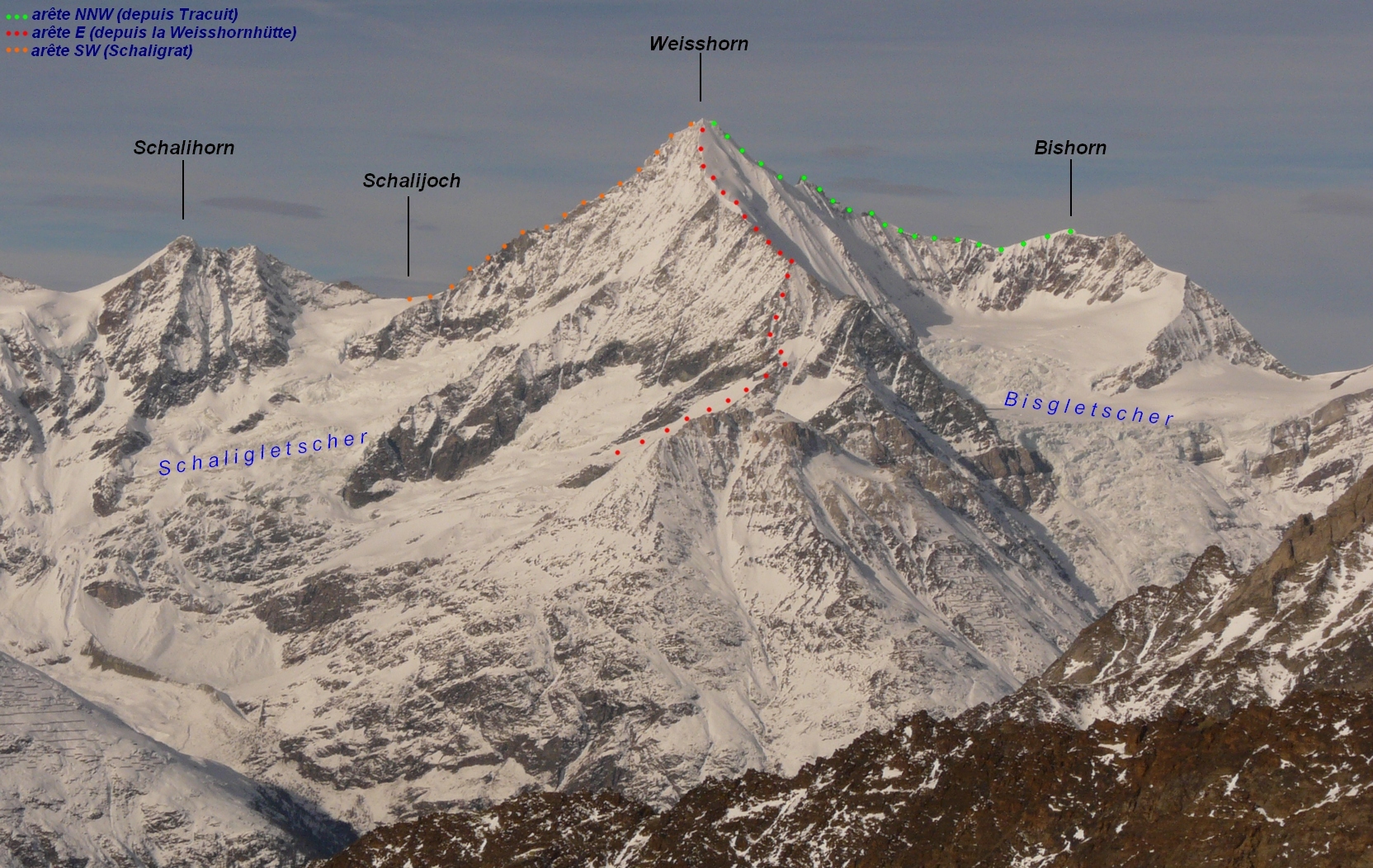
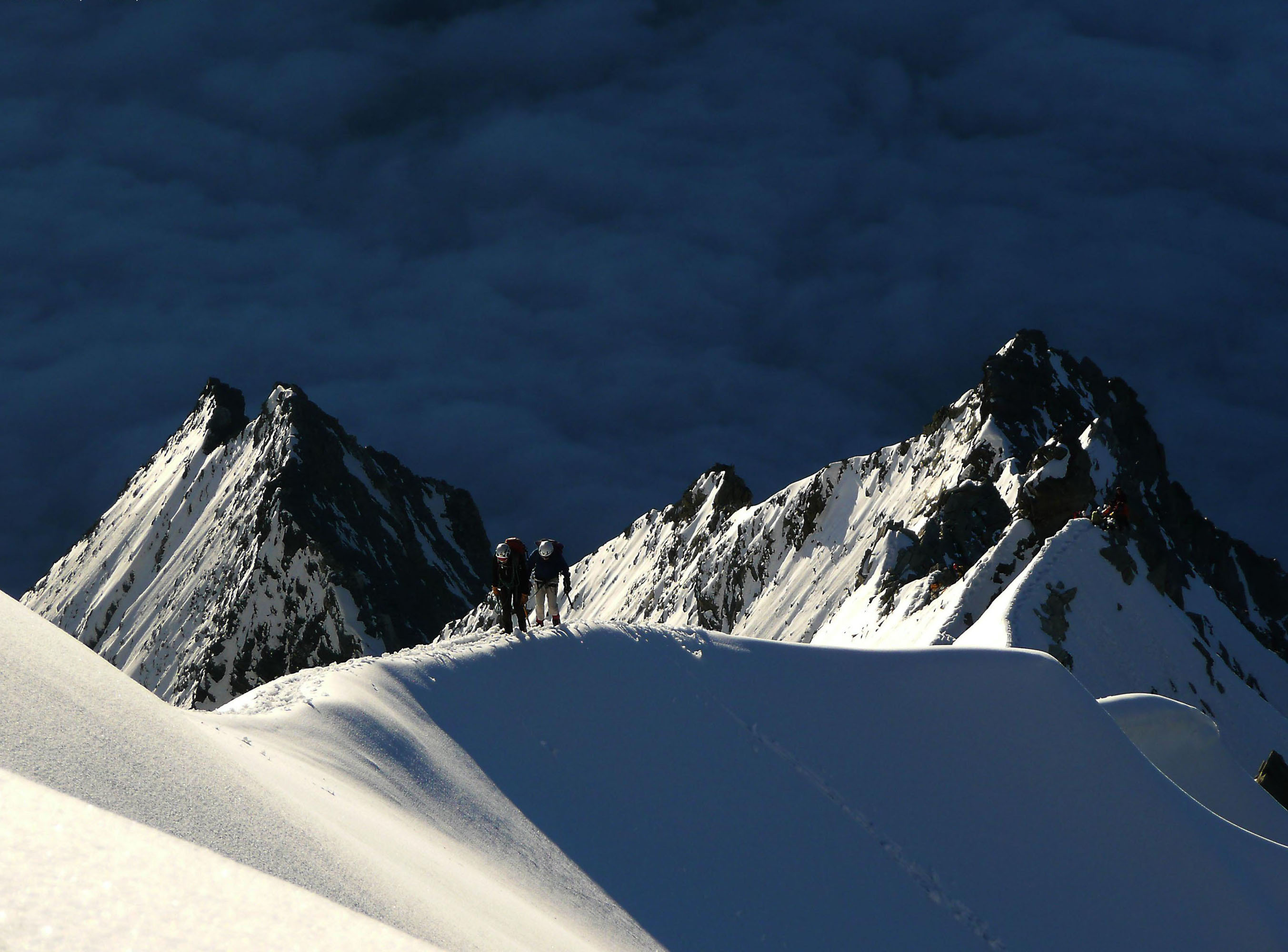
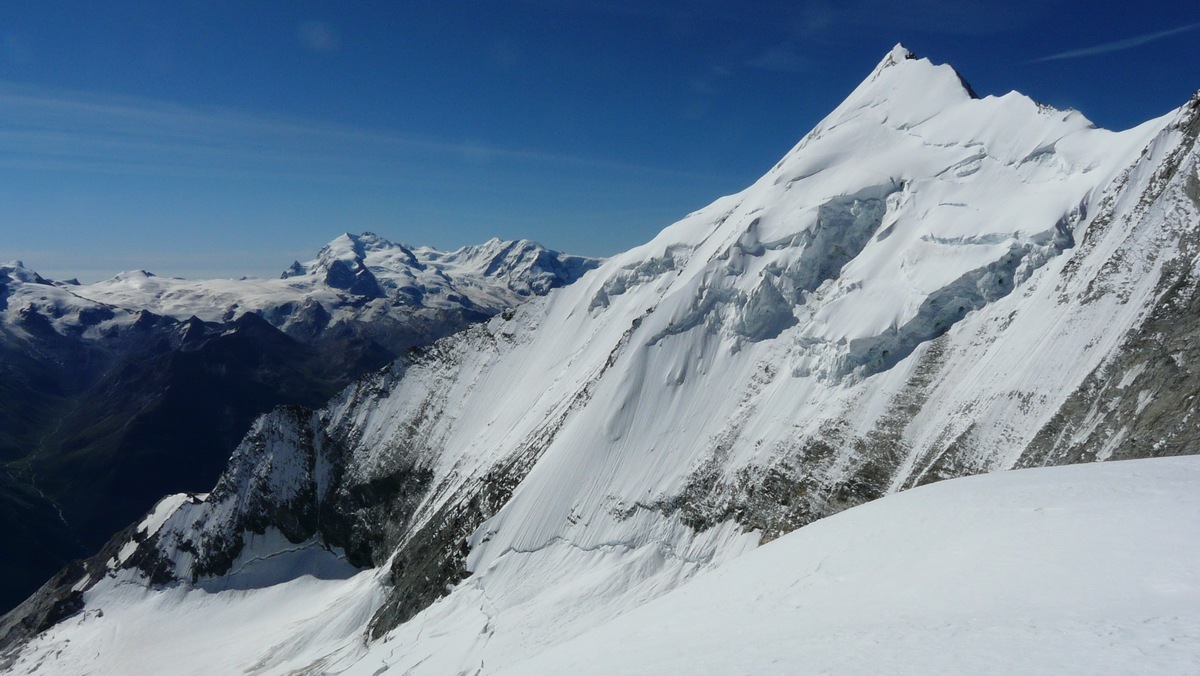
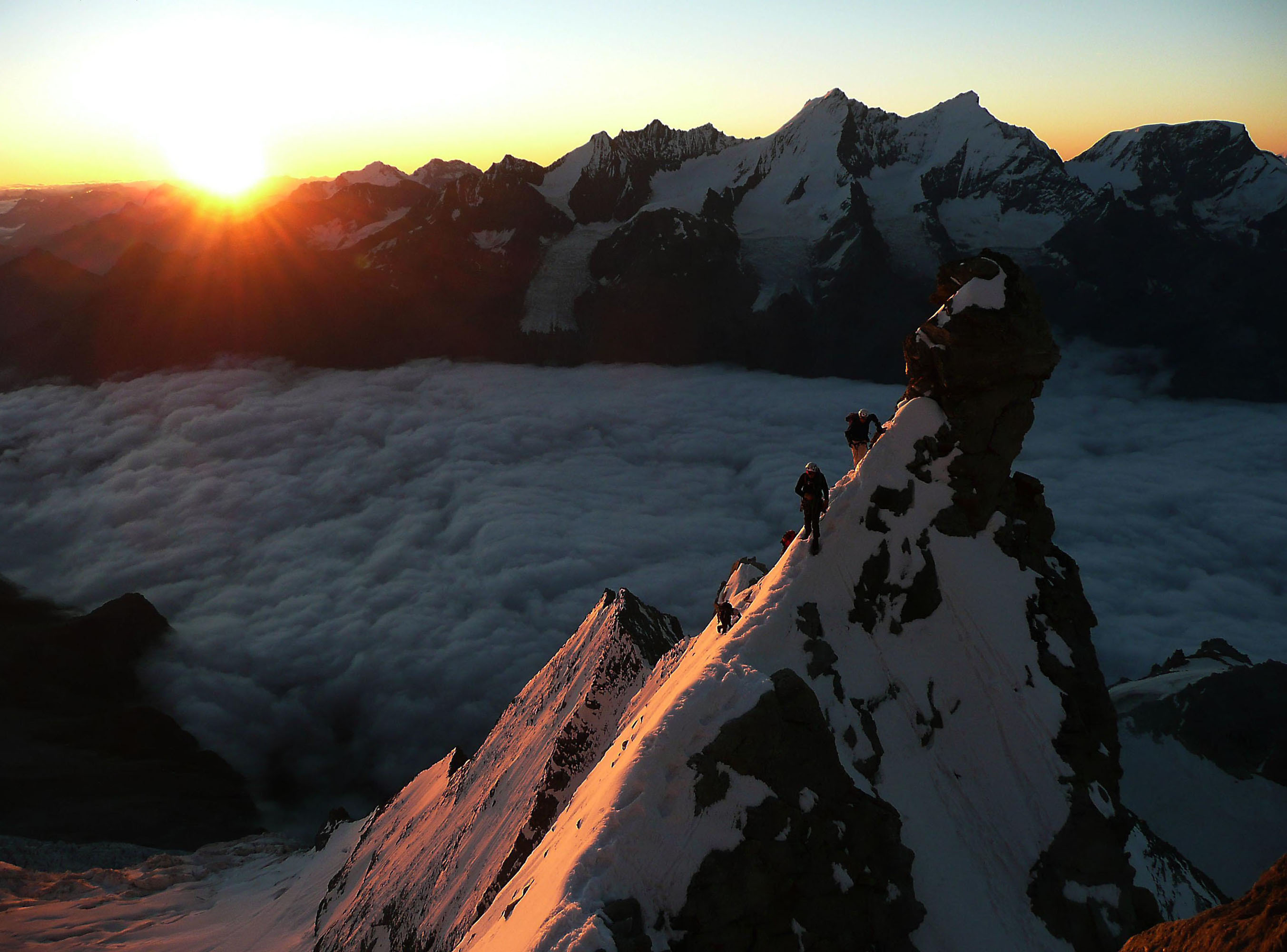
Go onto the rock and follow the stream over a small rock band. Follow a path which goes out about 100m to the right before coming back to cross the gully to the top of a cliff on the left. (Worth checking the route the evening before.) Go up, N-NE, the snow slopes (or scree depending on the season) to reach the slabs which form the obvious shoulder at 3500m. Traverse these slabs to the right to reach the ridge at point 3406. Follow the ridge easily, avoiding any difficulties to the right, to reach the shoulder. Continue along the snow ridge, (or the loose rock on the left, faint path,) and go to the left to where the snow ends at a cliff with an easy 15m chimney, cairn. Climb the chimney, bolt at the top, traverse several tens of metres to the left to reach easy rocks which in 300m arrive at the start of the E ridge proper, Frühstückplatz 3916m; (Lots of cairns and traces of paths.) The start of the ridge is rock grade 3, the difficulties very well protected with bolts. Follow the crest of the ridge with five steep sections, the first having the hardest move,(LOCHMATTERTURM, with a nameplate) to reach a snow ridge, very narrow for 30m, (the “funambule”.) The ridge broadens and reaches a 50m snow/ice dome. This can be climbed, directly, or on the right or the left, depending on conditions. Rejoin the ridge and follow this to the summit rocks, usually best climbed on the right to reach the summit cross,(4505 m)
Descent
By the same route. Possible to abseil some parts, 20m max, bolts in place.

The text and images in this page are available
under a Creative Commons CC-by-sa licence.

Download the Whympr App to view this route in 3D.
- Route search (100 000)
- Community returns
- Weather forecast
- Avalanche bulletin
- Race book
- Creation of tracks
- Topographic map (including IGN)