

Open this route in the app to prepare your next outing.

Details
Ascent: First ascent: JJ.Bonniot, Ch. and JM.Cambon in 1984.
Beautiful, very classic route, on very good rock, makes it possible to slowly make contact with high altitude faces and become familiar with laying nuts.
Day 1: Climb to the Sélé refuge (2511m): From the parking lot go up the Vallée du Sélé by the walkway which follows the left bank of Celse Nière torrent. After a long climb over a slight slope, the trail goes up steep bends until the junction with the trail for Pelvoux refuge (1993m). Continue straight via large traverses which lead to the foot of a very steep crag. A broad trail is used to get to cables which first go up this face on the right, then traverse towards the left. At the top out of the crag, go up the good trail which turns to the right to reach the summit of the rock promontory where the refuge is. From Ailefroide it takes 2h30.
Day 2: From the refuge, a trail climbs traversing the side to the east, it traverses steeply sloping areas and leads to the old Sélé refuge (2626m). Via a steep trail with bends climb the moraine above the refuge to the glacier Coup de Sabre (3120m). Traverse the glacier until the foot of the face, here, via steep snow slopes, you reach the start of the route to the right of the lowest pillar completely on the left of the face. It takes 2h00 from the refuge to the start.
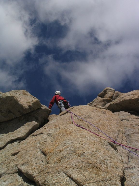
Start via a slab, 30m on the left of the beginning of the first ramp of the face, after 15m of climbing (UK-5a /US-5.8) traverse to the left on 10m then run-out in a vertical crack and top out from the pitch by another traverse to the left (IV +). Continue ascending to the left via large slabs divided in 3 pitches (UK-5a /US-5.8, IV +, UK-5a /US-5.8) to go to the summit of the first ramp. The following pitch goes up a steep pitch and hits under broad smooth bulges, in line with the western face (UK-5a /US-5.8 unrelenting). Traverse almost horizontally on the following pitch (IV + then UK-3a /US-5.3) to top out on a broad ledge via a vertical crack (UK-3a /US-5.3). Via a dihedral-corridor of about forty meters (UK-4a /US-5.5 then UK-5a /US-5.8) you reach the shoulder in broken rocks which marks 2/3 of the face. It is possible to climb an interesting variant which starts just after the horizontal traverse in IV +, after a short ascending traverse on the right it goes up a series of cracks on 2 pitches overall (VIa, V +). This series of 3 traversed pitches (original route and variant) makes the descent rappel for this route very difficult. Stay on the left side of the shoulder in a type of corridor-scree slope. At its summit, a well marked belay indicates the start of a large pitch in dihedral chimney (UK-5a /US-5.8 then V +, physical) that you climb until a well marked ledge where a comfortable belay is made. Continue right to the upper part via a more or less well marked ridge which leads to the summit in 3 pitches in UK-4a /US-5.5. It takes 4h00 to 6h00 from the start to the summit.
Bibliography: - Oisans nouveau, oisans sauvage, book by JM.Cambon - Vallot tome 2 by F.Labande.
Descent: From the summit of the pinnacle descend towards the well marked notch to the east under the summit (cairn). From there, the descent is carried out by rappelling on chains while pulling overall towards the right of the face (the left side when looking down!). 10 rappels of a maximum of 45m follow each other and cross the Jour de Colère and la Diagonale du Fou routes. From the summit to the foot of the face takes 1h00 to 1h30. From the foot of the face to the refuge takes 1h20 to 2h00.

The text and images in this page are available
under a Creative Commons CC-by-sa licence.

Download the Whympr App to view this route in 3D.
- Route search (100 000)
- Community returns
- Weather forecast
- Avalanche bulletin
- Race book
- Creation of tracks
- Topographic map (including IGN)