

Open this route in the app to prepare your next outing.


Details
Ascent # 1h
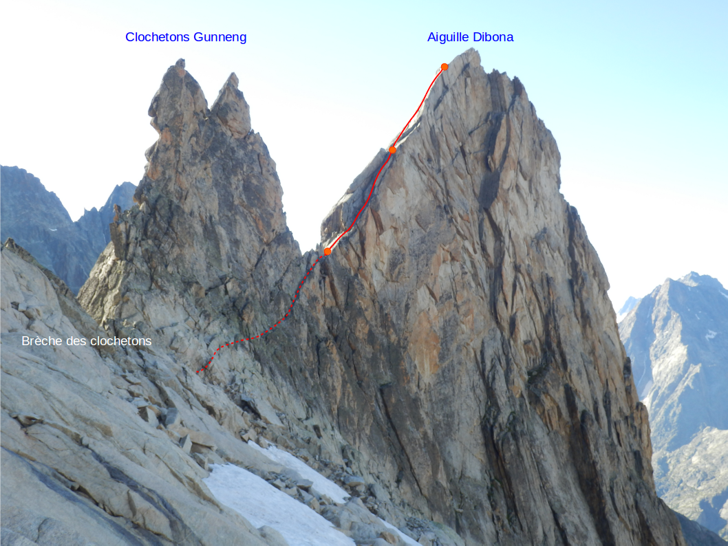
From Soreiller refuge, traverse an area of large boulders to the west leading to an easy rocky slope making it possible to cross the crest formed by the last basements SW of Dibona (visible signal from the refuge). Take the cree slopes (trails and cairns) to access the firn resulting from the W pass of Soreiller. At the top of the latter (2980 m approximately), via a trail on ledges (cairns) and a snow covered flat area at the beginning of the summer, you reach Brèche des Clochetons where you rope up (3048 m).
North ridge
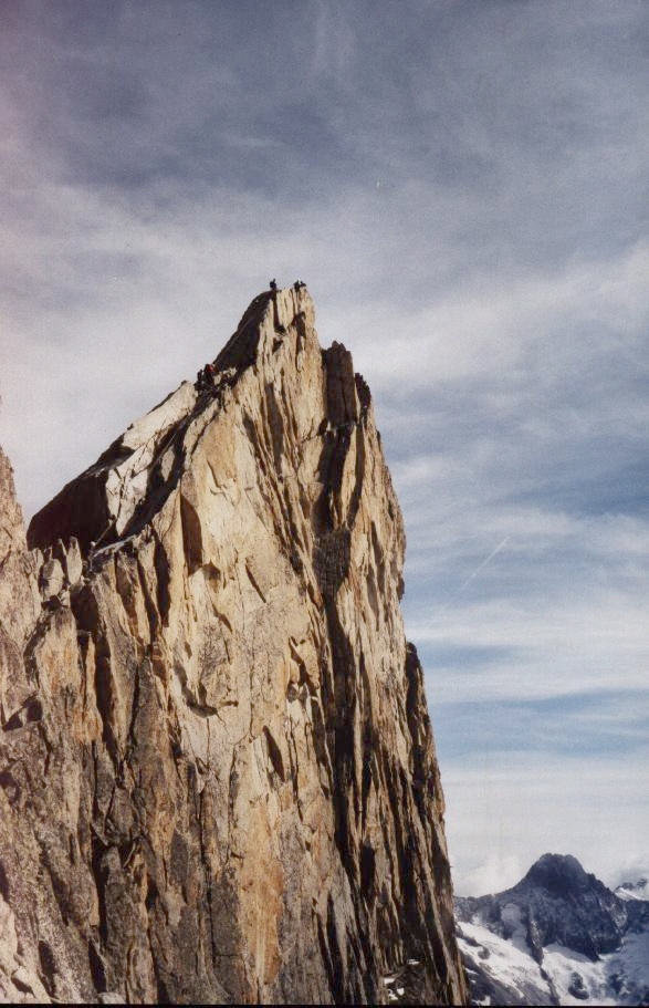
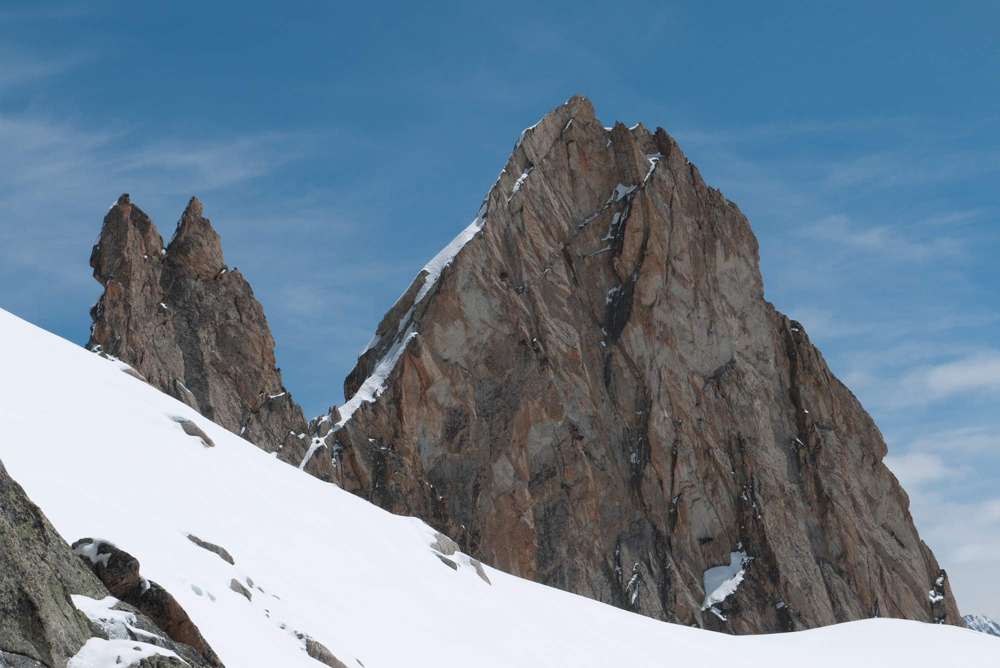
Then make an easy traverse under Clochetons Gunneng, to reach the notch separating the small pinnacles of the pinnacle proper. From there, 2 short and exposed pitches (pitons, possibility of using nuts, belays on chains) make it possible to arrive at the summit.
Descent # 1h15
From the summit, you reach the rappel chain via a short downclimb. Make a 50 m rappel (possibility of descending in two shorter rappels) to arrive at the notch between Aiguille Dibona and Clochetons Gunneng. Make an easy downclimb traversing downward to reach the broad party ledges of Brèche des Clochetons. From here take the ascent route.

The text and images in this page are available
under a Creative Commons CC-by-sa licence.

Download the Whympr App to view this route in 3D.
- Route search (100 000)
- Community returns
- Weather forecast
- Avalanche bulletin
- Race book
- Creation of tracks
- Topographic map (including IGN)