

Open this route in the app to prepare your next outing.


Details
Approach
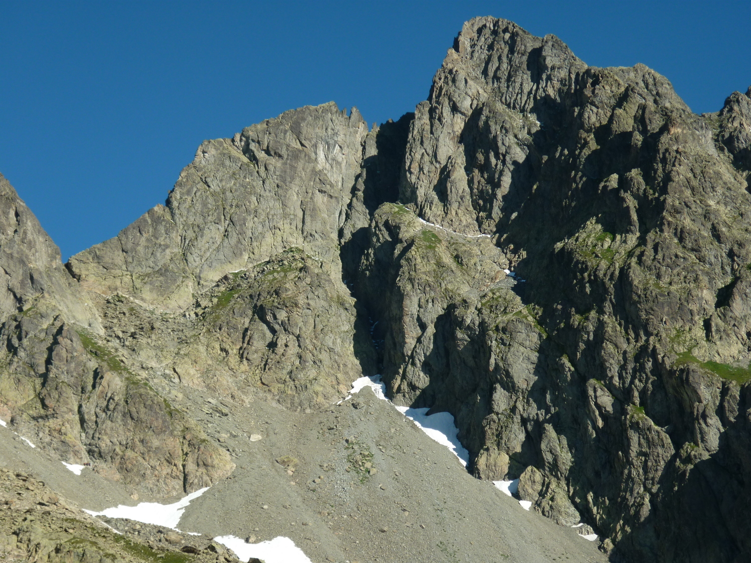
From the top of the Index chairlift, follow the path towards the Col des Crochues. A little before the col, take a faint path to the right which goes to the foot of the E face. Go along the face until the start of the route.
Route
L# | Traverse for 30m (2b, 1 peg). Belay on a rock spike at the foot of a deep chimney. L# | Climb the chimney and exit to the right (3b, 1 peg) to a little stony terrace. Belay on two pegs.
L# | Climb a magnificent, slanting corner on the left, (4b, one abandoned friend) and follow a nice crack, easy to protect, to a large rock spike L# | 6a or 4c/A0. The difficulties are only in the first 5m. Start at an abandoned friend, then an old peg above the hard part, to the crest of the ridge. Belay on a rock spike and a bolt.
It is possible to descend the ridge from here to the Col des Crochues, There is a chimney to down climb at 3, (or abseil.) Traverse the summits of the Crochues by the crest of the ridge, sometimes on the N side until the highest point, 2840m.
Descent
Descend easily towards the Lac Blanc and take the path back either to the Index chairlift or the Flégère cable car.

The text and images in this page are available
under a Creative Commons CC-by-sa licence.

Download the Whympr App to view this route in 3D.
- Route search (100 000)
- Community returns
- Weather forecast
- Avalanche bulletin
- Race book
- Creation of tracks
- Topographic map (including IGN)