

Open this route in the app to prepare your next outing.

Details
Approach # (see approach for Hornli Hut)
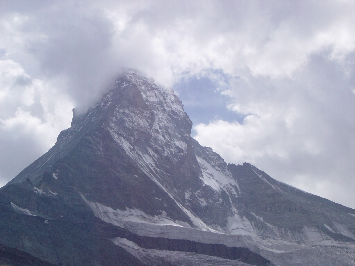
Route # 5h, often as long again in descent
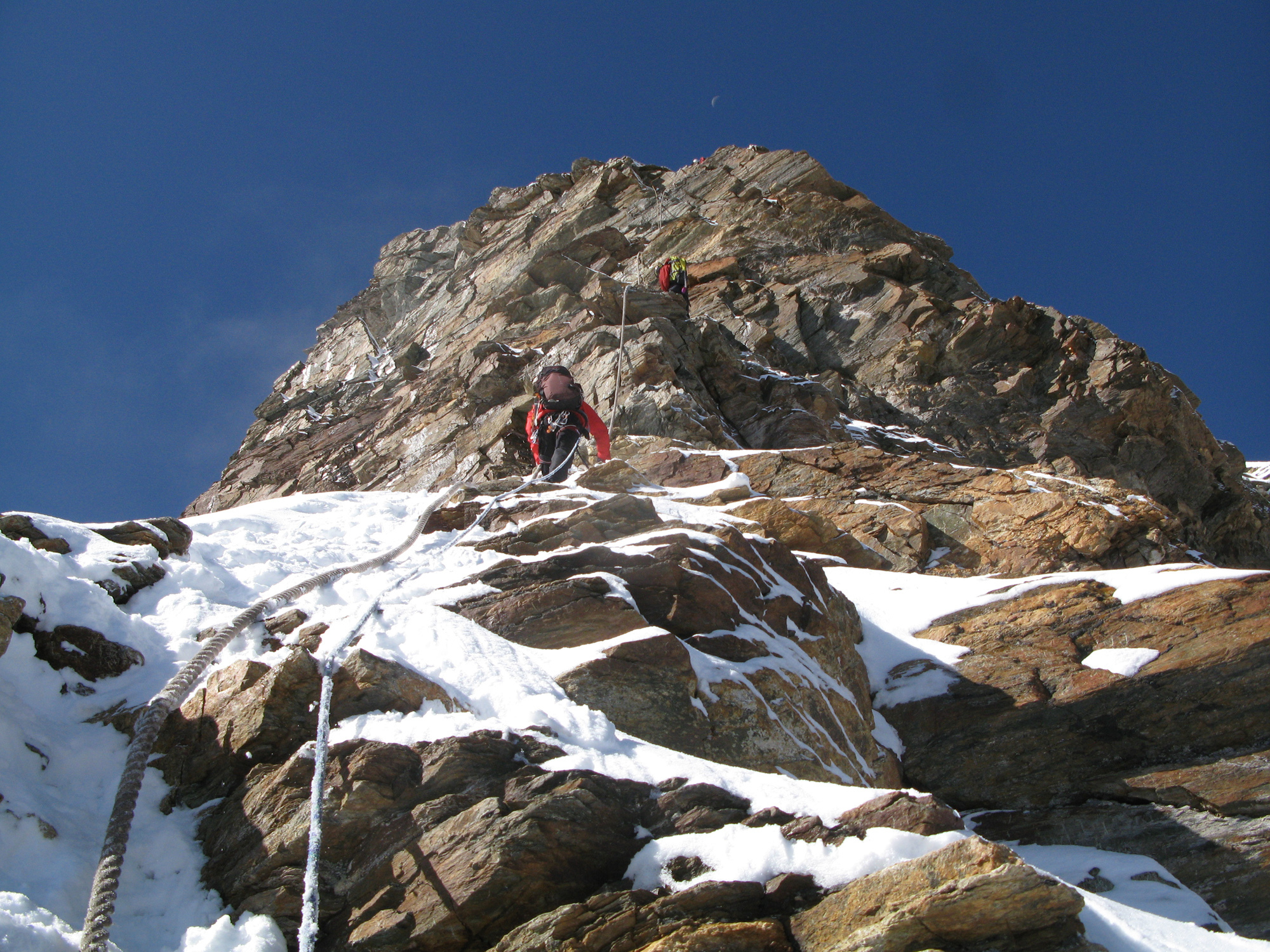
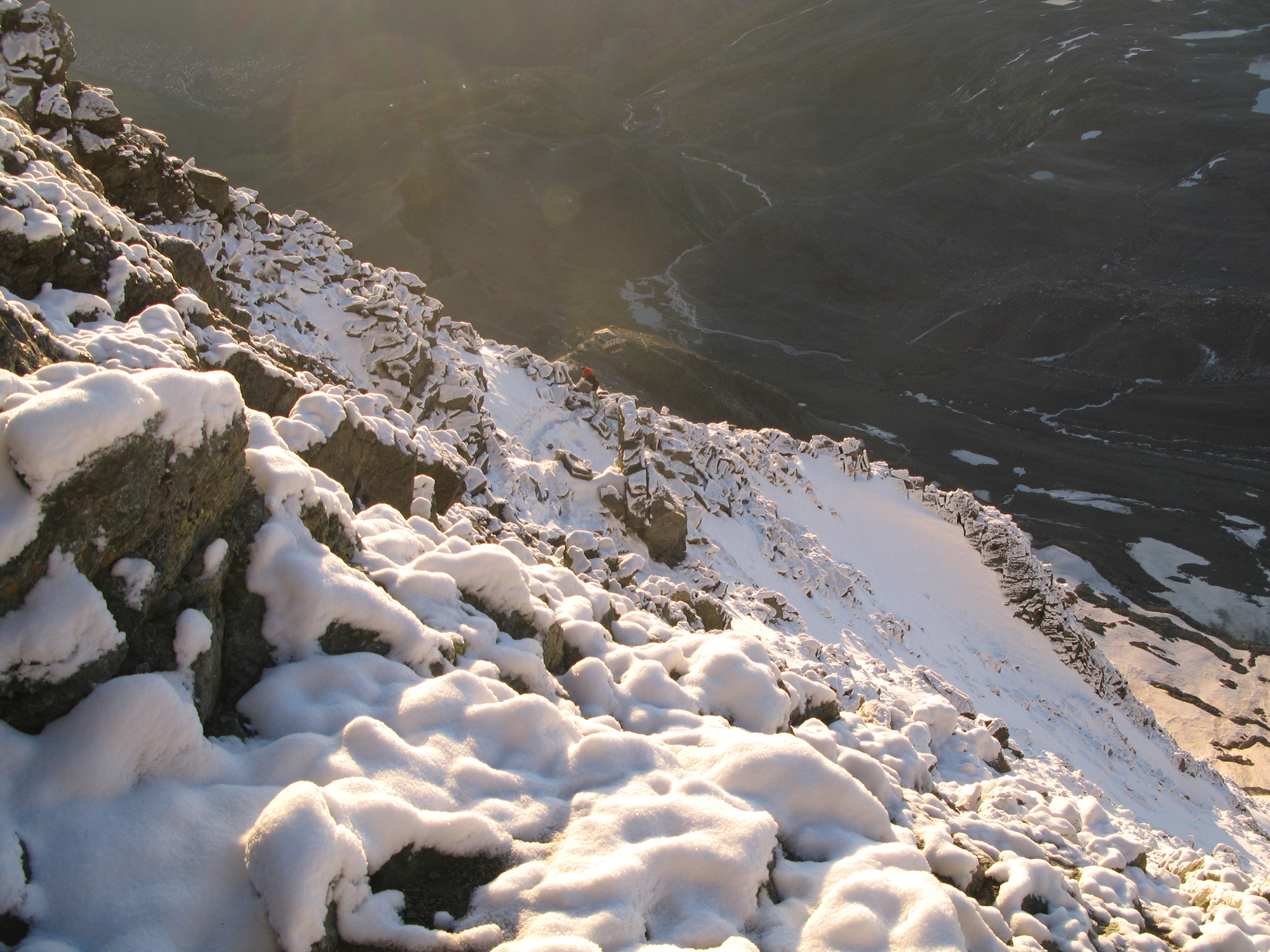
From the hut follow the path SW to where the ridge steepens. Fixed ropes up a chimney corner then slabs lead left to the E flank of the ridge. A path (cairns) on loose rock/scree leads up to a first gully, which you go up a few metres before traversing leftwards along a well marked ledge for 20m. Go up the face and then diagonally right to reach the W side of the first gully. Climb a large, stepped corner to reach a first scree ledge. A short step leads to another ledge which you follow to the left before climbing, for the first time, onto the ridge.
From here you can see the second gully. Follow the ridge crossing the top of the 2nd gully (fixed rope),to where it steepens then go back left (fixed rope) and climb a series of steps to again reach the ridge and an obvious pinnacle, (“Auf dem Grat”.) Climb down from the pinnacle to the foot of the third gully, traverse horizontally to the left along yellow/brown rocks, (avoid climbing to high, back up to the ridge.) The ledge,(a path) ends at a scree slope.
Go slightly leftwards then go straight up for about 60m on good rock steps to reach a broad, horizontal ledge which leads to an obvious rock rib (Eseltritte). Climb this by several short chimneys and bits of footpath until a small, obvious pinnacle 50m below the ridge. Pass left below this pinnacle then horizontally to the right on the E face, by a loose gully, pegs. From here you can see an obvious pinnacle on the ridge (3746m), which you reach by traversing well to the E of its right-hand base. A ledge, (pegs,) leads to the foot of the pinnacle, (old hut site)
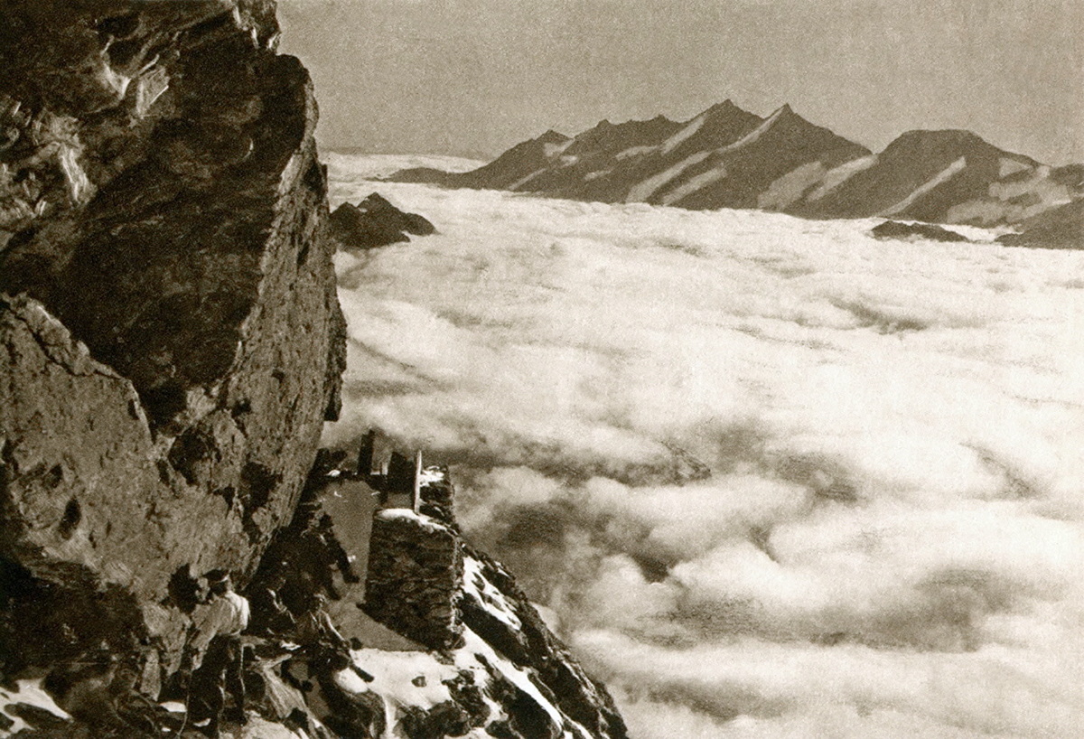
Go up another rock ledge, (pegs), under an overlap, Gebiss, (means a bite (out of the rock)), and then a 100m rib, parallel to the ridge, (cables,) to reach the slabs (Untere Moseleyplatte) to the E of the Solvay hut (4003m, emergency shelter, no water, always open, 10 places) About 3h climbing time from the Hörnli hut.
To the W of the hut go up to the ridge by a steep step and then some slabs, (Obere Moseleyplatte). A notch leads to a little pinnacle. From here follow the ridge to the Untere Rote Turm, which you pass on its left side. Reach the shoulder, then the ridge above, towards the Obere Rote Turm, avoiding the difficulties by keeping left.
Follow the fixed ropes then climb the summit slopes, often icy, crampons, stakes every 20m] towards the Swiss summit. The Italian summit, slightly lower, with the cross, is a little further on.
Descent
Descend the Obere Dach and Untere Dach to the fixed ropes then follow the ridge, avoiding the difficulties by the right (Obere Rote Turm). Go down the ridge to the shoulder and the shoulder, (belay stakes.)
Continue down to the Untere Rote Turm, avoiding difficulties by the right to regain the ridge below the tower. (Iron stake and pegs.) Follow the ridge, or keep slightly to the right (pegs) until a notch just before a small pinnacle. Climb down a slab, (Obere Moseleyplatte), to the right, (peg and steel stake) to the Solvay hut.
Go to the E of the hut and down the Untere Moseleyplatte, (metal stakes and pegs). Continue downwards parallel to the ridge for about 100m (cables) to the steel stakes at the Gebiss. From the last stake at the extreme left of a broad ledge, under the Gebiss, follow some other pegs, descending obliquely to the left and bypass a steep section when you see an obvious pinnacle. Descend a little and take a horizontal ledge to the right side of the pinnacle, (sit of old hut.) Do not continue down the E face but traverse left along a ledge at the base of the pinnacle, (iron stakes and pegs).
Another pinnacle appears on the E face near a rock rib, Climb down obliquely, parallel to the ridge towards this rib, cross a gully, only visible at the last moment, at the level of the pinnacle, (peg) to reach the rib. Descend the rib (Eseltritte) by the E face until a notch which which leads to the left and the rib ends.
Another pinnacle. (Auf dem Grat) is visible lower down on the ridge, half way to the Hornli hut, Go down the E face firstly by a horizontal rock ledge then climb down for 60m to a scree ledge which leads to a path on yellow/brown rock. Traverse along this, parallel to the ridge, to the pinnacle. Shortly before the pinnacle you cross a gully on the E face.Climb the pinnacle by the ridge then climb down 20m to the right, come back to the left, (fixed rope.) Climb down a rock step and come back to the ridge. Go down this to the second gully. About 50m after this, descend the ridge to the right by rock steps until a ledge which leads leftwards to the W bank of the first gully. Go down the side of this until it is possible to escape easily on the right. Go back to the right for 10m or so, climb down a rock step, then by ledges and steps, always on the right, reach a ledge (obvious path) which leads leftwards to the first gully. Cross this and go down a short distance before again going leftwards on a good path towards the final rock section, (fixed ropes).

The text and images in this page are available
under a Creative Commons CC-by-sa licence.

Download the Whympr App to view this route in 3D.
- Route search (100 000)
- Community returns
- Weather forecast
- Avalanche bulletin
- Race book
- Creation of tracks
- Topographic map (including IGN)